 AIMS
AIMS AIMS-H Long Focus
 FarsightБ└╒ System
 Riegl VQ-1560i
 Riegl VQ-780II
 UltraCam Eagle M3
 Y-1 VTOL UAV
 Aerial Acquisition
 UAV Acquisition
 Satellite Acquisition
 Field Acquisition
 Integrated
 LiDAR
LiDAR Orthophoto
 DEM
DEM DTM/DSM
 3D Mapping
 Topographic
 Infrared
 Feature Extraction
 BIM
BIM Transportation
 Water
Water power
power  Forestry
 Agriculture
 Mines & Quarries
 Heritage Buildings
 About feiyan
 Recognition
 Cases
Cases

search


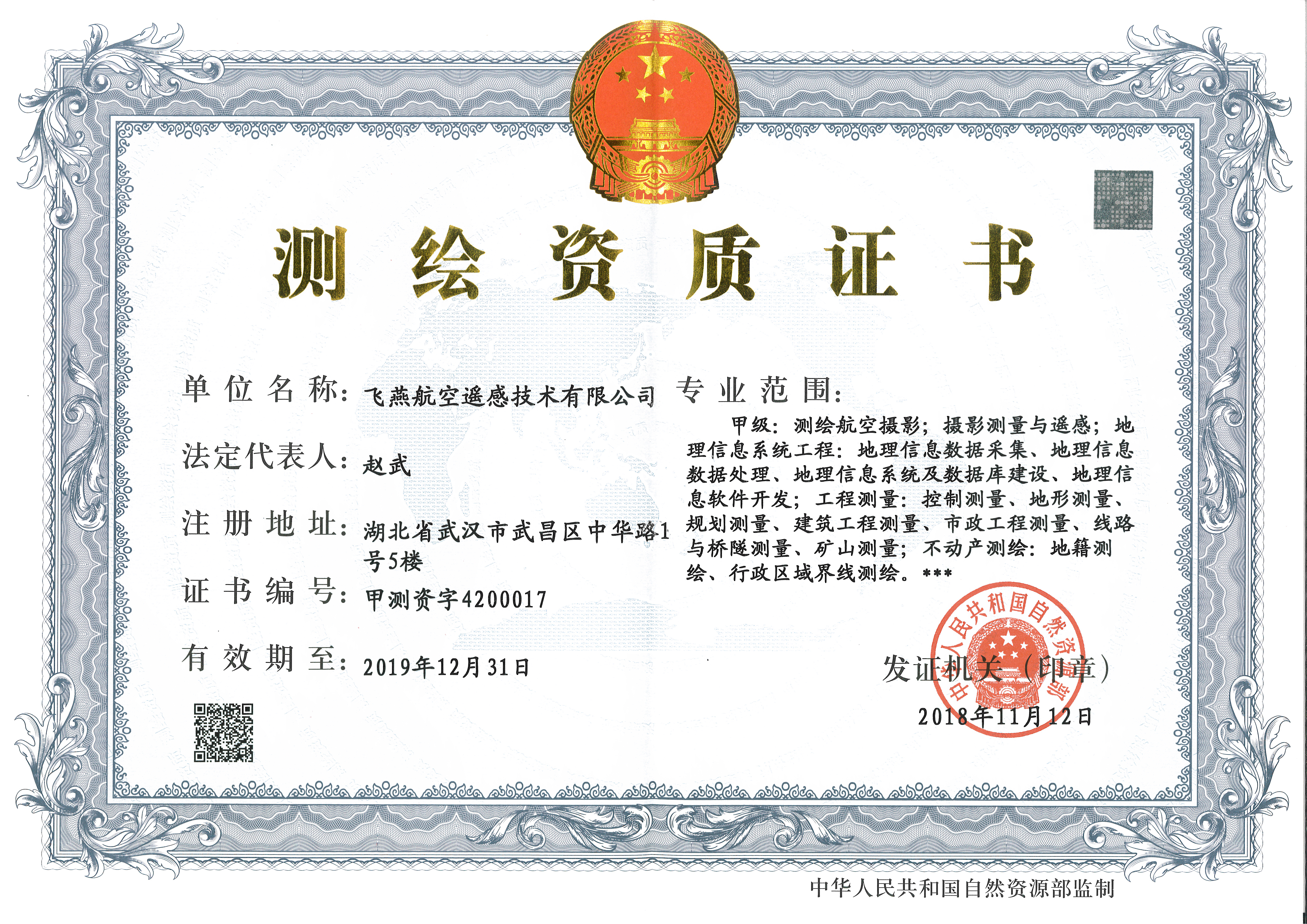
Industry recognition
Our team has obtained a number of industry-recognized certifications. These recognitions prove our commitment to continuous evaluation and improvement, and we are committed to becoming a one-stop solution leader of "data + application" for China's sky and ground remote sensing.


ISO 14001 Б─■ Environmental Management System
ISO 9001 Б─■ Quality Management System
ISO/IEC 27001 Б─■ Information Security Management System
ISO 45001 Б─■ Occupational Health and Safety Management System
ISO 20000 Б─■ Information Technology Service Management
CERTIFICATE OF REGISTRATION Б─■ Services within the scope of surveying and mapping qualifications and related technology development and occupational health and safety management activities involved in relevant places.
CMMI3 Б─■ Capability Maturily Model Integration(GMMk0) for Development(CMMI-DEV V1.3),Staged Representation, CM Institute, Carnegie Mellon University, USA.
MANAGEMENT SYSTEM CERTIFICATE Б─■ After evaluation and registration, it meets the requirements of GB/T220802016/ISO/IEC27001:2013 Accreditation scope surveying and mapping service related information and safety management activities.

