 AIMS
AIMS AIMS-H Long Focus
 Farsightā¢ System
 Riegl VQ-1560i
 Riegl VQ-780II
 UltraCam Eagle M3
 Y-1 VTOL UAV
 Aerial Acquisition
 UAV Acquisition
 Satellite Acquisition
 Field Acquisition
 Integrated
 LiDAR
LiDAR Orthophoto
 DEM
DEM DTM/DSM
 3D Mapping
 Topographic
 Infrared
 Feature Extraction
 BIM
BIM Transportation
 Water
Water power
power  Forestry
 Agriculture
 Mines & Quarries
 Heritage Buildings
 About feiyan
 Recognition
 Cases
Cases

search

Enter search content


-
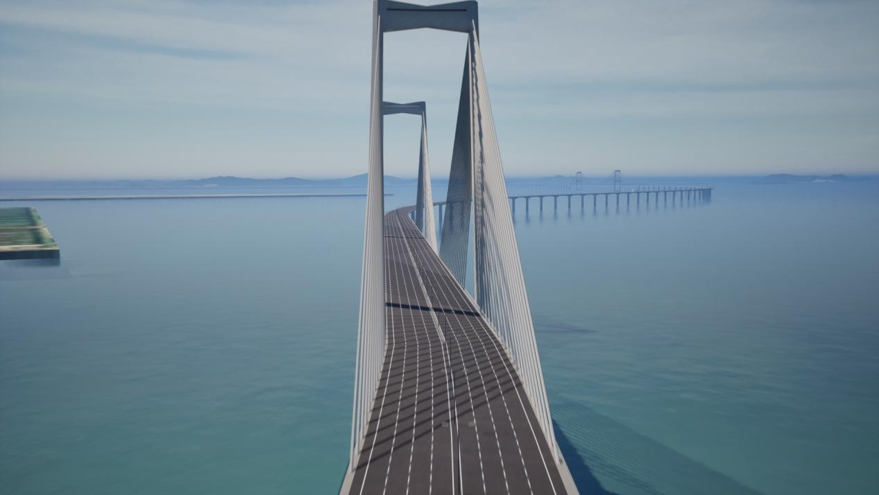
Digital Twin for Planning & Simulation
We construct high-precisionĀ 3D reality modelsĀ andĀ digital twinsĀ of transport corridors. These models serve as a virtual proving ground forĀ infrastructure planning,Ā impact simulation, andĀ public engagementĀ initiatives. This approach transforms the planning process from concept toĀ data-driven reality, supporting the development of intelligent transportation systems as outlined in relevant technical specification. MORE + -

Traffic Flow Analysis & Situational Awareness
OurĀ Swift4D platformĀ integrates multi-temporal satellite and aerial data to visualize and analyze dynamicĀ traffic patterns. This capability provides critical support for urbanĀ congestion management, long-term transportation planning, and delivers a vital operational overview forĀ emergency responseĀ coordination during major incidents, ensuring informed decision-making. MORE + -

High-Definition (HD) Map Production & Dynamic Updates
We provide HD mapping services that meet the stringent requirements for autonomous driving and smart navigation systems. By leveraging our proprietary AIMS Multi-sensor Aerial Survey System, Farsightā¢UAV systems, and satellite imagery, coupled with petabyte-scale data processing capabilities, we ensure efficient, large-scale data acquisition and production. Our process delivers a precise, up-to-date digital foundation for critical transportation applications, adhering to specifications for high-accuracy expression of electronic highway map elements. MORE + -

Transportation Asset Management & Resilience
We deliver a comprehensive Transportation Asset Management solution by providing up-to-date, high-resolution imagery and on-demand LiDAR data, efficiently captured by our Farsightā¢ UAV System. This precise geospatial foundation enables essential workflowsāfrom planning and design to the automated monitoring of risks like vegetation encroachment. To bolster infrastructure resilience, we support rapid emergency response with urgent data acquisition and analysis through our Swift4D platform, delivering actionable intelligence that helps clients mitigate risks, optimize long-term maintenance costs, and ensure the durability of critical assets. MORE +


