 AIMS
AIMS AIMS-H Long Focus
 Farsightā¢ System
 Riegl VQ-1560i
 Riegl VQ-780II
 UltraCam Eagle M3
 Y-1 VTOL UAV
 Aerial Acquisition
 UAV Acquisition
 Satellite Acquisition
 Field Acquisition
 Integrated
 LiDAR
LiDAR Orthophoto
 DEM
DEM DTM/DSM
 3D Mapping
 Topographic
 Infrared
 Feature Extraction
 BIM
BIM Transportation
 Water
Water power
power  Forestry
 Agriculture
 Mines & Quarries
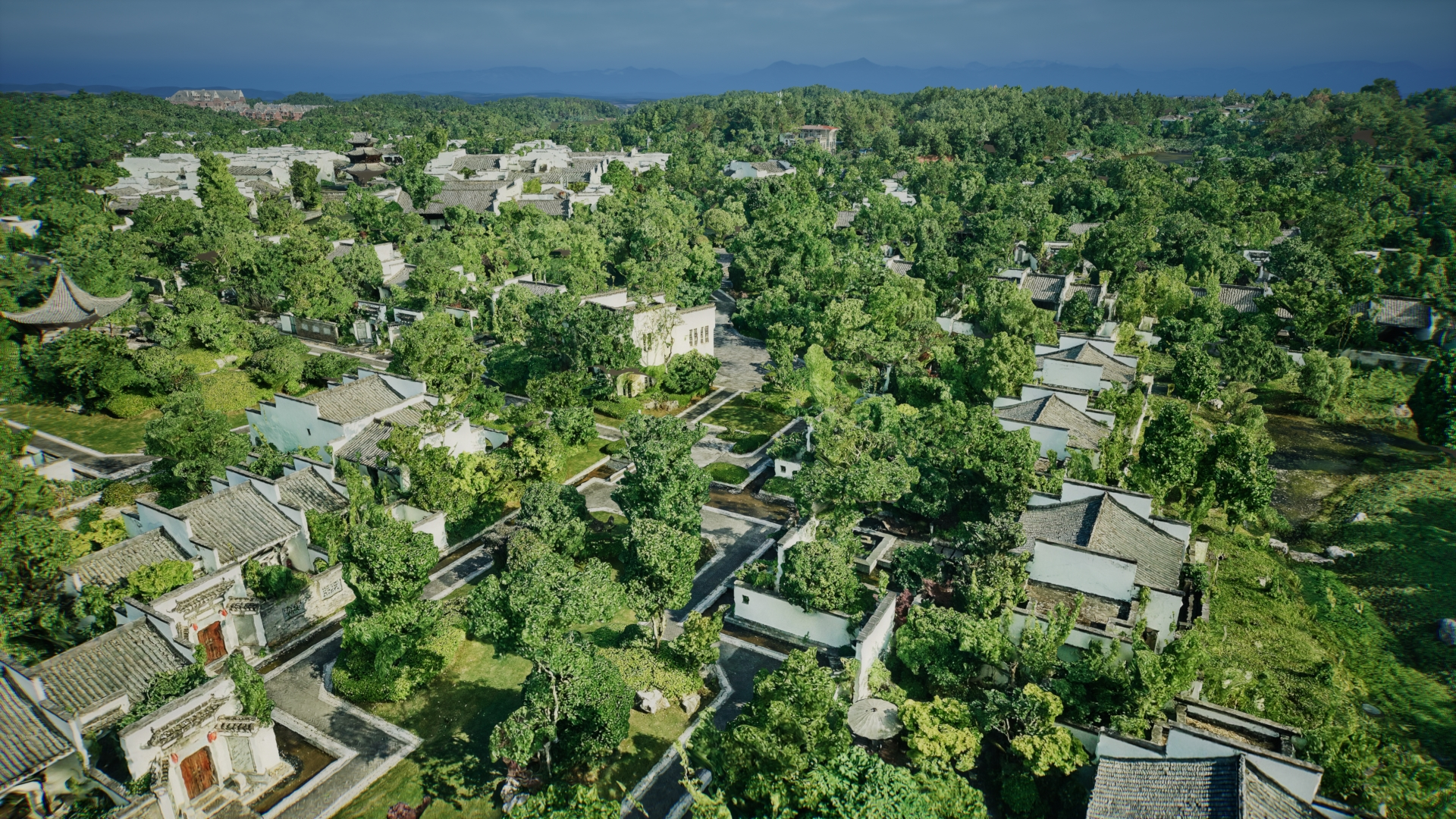
 Heritage Buildings
 About feiyan
 Recognition
 Cases
Cases

search

Enter search content


-
Archeological Prospection & Digital Documentation
We conduct non-invasive archeological prospection usingĀ airborne LiDARĀ and high-resolution imagery to detect and map subtle terrain features and buried landscapes. Our deliverables include preciseĀ digital terrain models (DTMs)Ā and orthomosaics, creating an accurate, permanent digital record essential for excavation planning, academic research, and long-term site monitoring. MORE + -
Heritage Planning & Conservation Policy Support
We deliver the critical geospatial intelligence for robust heritage planning and policy development. Our detailed mapping of heritage assets, their settings, and environmental pressures provides foundational data for Heritage Conservation District Studies, Heritage Impact Assessments (HIAs), and the formulation of Conservation Management Plans (CMPs). This empowers planners, consultants, and government bodies to make evidence-based decisions that balance preservation, public engagement, and sustainable development. MORE + -
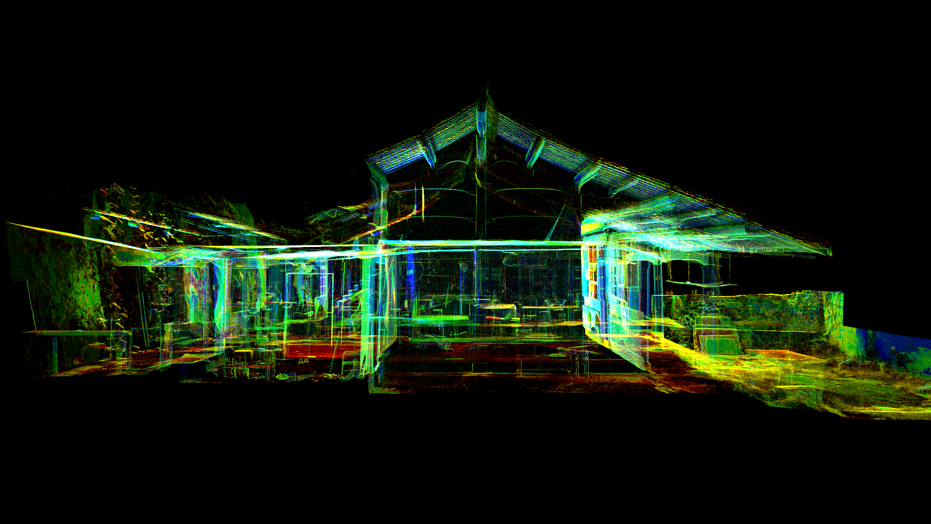
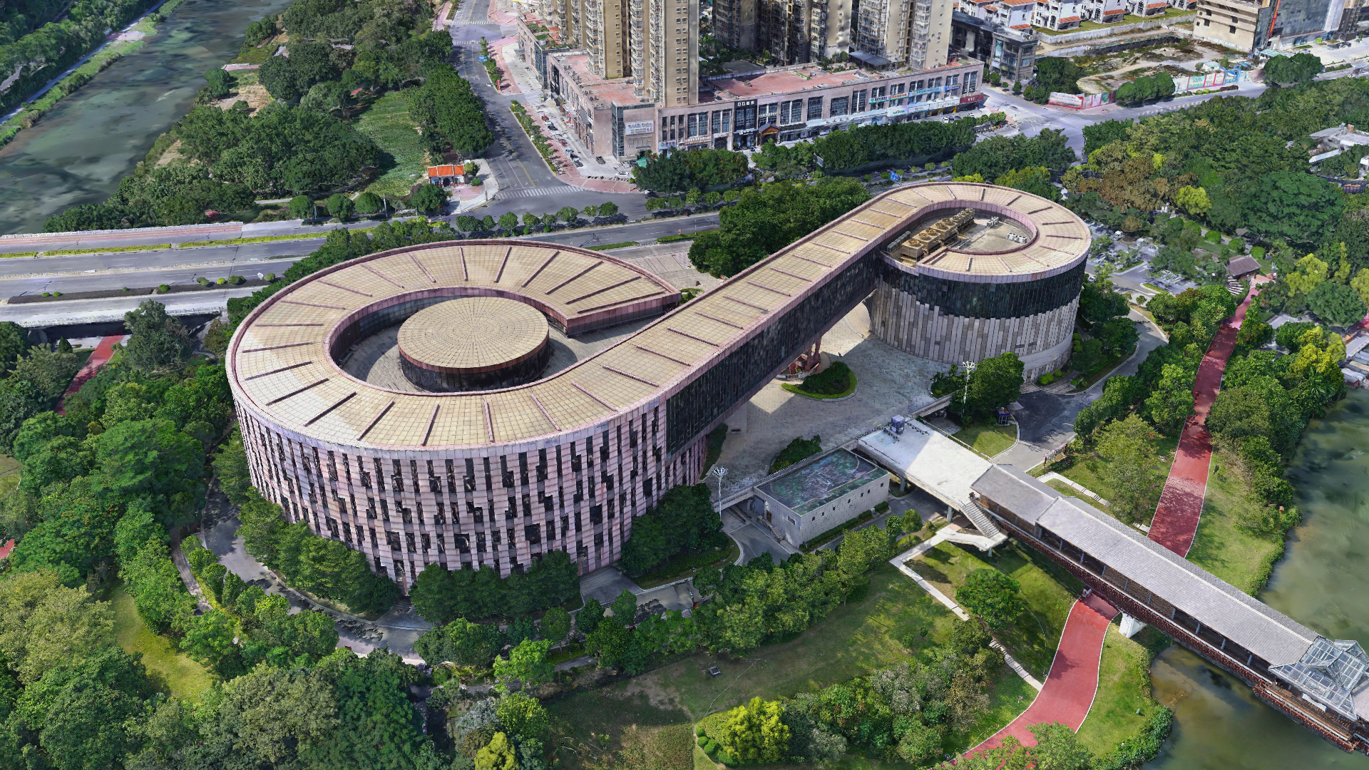
Built Heritage & Cultural Landscape 3D Recording
We capture built heritage structures and their surrounding cultural landscapes in millimeter-accurate detail. Through terrestrial laser scanning (TLS) and aerial photogrammetry, we generate high-fidelity 3D reality models, true orthophotos, and detailed elevation maps. This output is vital for historic building information modeling (HBIM), structural condition assessment, monitoring of decay or displacement, planning precise restoration, and creating immersive digital archives for education and virtual access. MORE + -

Geomatics & Heritage Information Management Systems
We integrate all spatial data into a cohesive Geographic Information System (GIS) framework. This geomatics approach consolidates historical maps, survey data, 3D models, and archival records into a unified digital heritage inventory. The system serves as a powerful tool for spatial analysis, predictive modeling, augmented reality (AR) visualization for public interpretation, and the creation of a sustainable, centralized information management system for long-term preservation and research access. MORE +


