 AIMS
AIMS AIMS-H Long Focus
 Farsightв„ў System
 Riegl VQ-1560i
 Riegl VQ-780II
 UltraCam Eagle M3
 Y-1 VTOL UAV
 Aerial Acquisition
 UAV Acquisition
 Satellite Acquisition
 Field Acquisition
 Integrated
 LiDAR
LiDAR Orthophoto
 DEM
DEM DTM/DSM
 3D Mapping
 Topographic
 Infrared
 Feature Extraction
 BIM
BIM Transportation
 Water
Water power
power  Forestry
 Agriculture
 Mines & Quarries
 Heritage Buildings
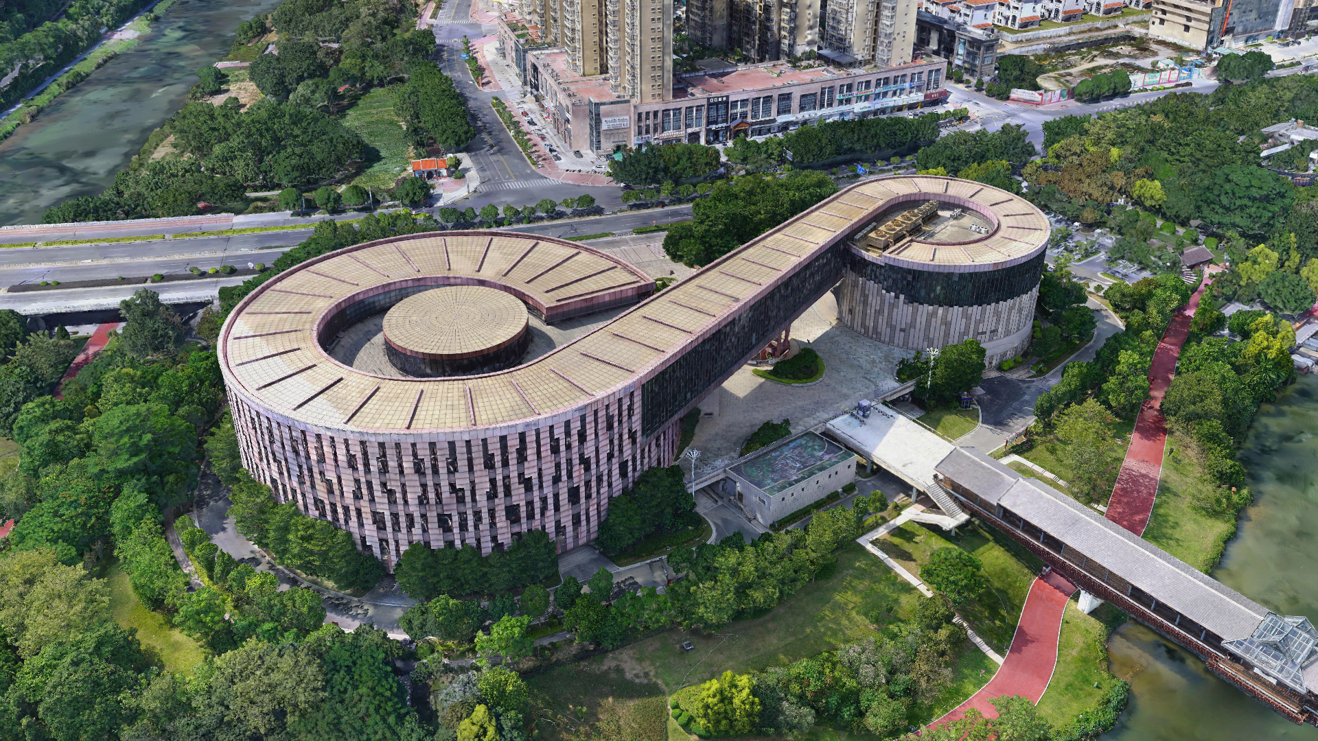
 About feiyan
 Recognition
 Cases
Cases

search


Solution

Heritage Planning & Conservation Policy Support
Feiyan Aerial Remote Sensing Technology Co., Ltd. delivers critical geospatial intelligence for heritage planning and policy development. Our detailed mapping of heritage assets, their settings, and environmental pressures provides foundational data for Heritage Conservation District Studies, Heritage Impact Assessments (HIAs), and Conservation Management Plans (CMPs). This empowers planners, consultants, and government bodies to make evidence-based decisions balancing preservation, public engagement, and sustainable development.

Our Differentiated Solution Framework
Built on the Swift4D Platform, our framework integrates detailed mapping, intelligent analytics, and policy support:
Y-1 High-Precision Heritage Data Acquisition: LiDAR and oblique cameras capture centimeter-level point clouds and high-resolution imagery, penetrating vegetation to reveal micro-topography and structural details.
Swift4D Reality Modeling: Automated generation of 3D reality models and digital terrain models accurately presenting heritage assets, surroundings, and pressure sources (e.g., development sites, infrastructure).
SwiftAI Feature Detection & Change Monitoring: Automatically identifies heritage boundaries, historic features, and environmental threats (erosion, vegetation encroachment, new construction) to support rapid assessment.
Multi-Source Data Fusion & Policy Documentation: Integrates historical maps, planning boundaries, and conservation zones to generate standardized maps and reports compliant with HIA and CMP requirements.

Application Scenarios & Client Value
Application Scenarios
Heritage Conservation District Studies: Systematically document heritage assets and their settings to support conservation zoning.

Heritage Impact Assessments: Simulate development impacts on heritage value and visual landscapes, quantifying buffer requirements.
Conservation Management Plans: Provide regular monitoring data to guide maintenance and risk prevention.
Public Engagement & Policy Disclosure: 3D visualization communicates heritage value and conservation boundaries, enhancing community awareness and support.
Client Value
Evidence-Based Decision-Making: High-precision spatial data replaces subjective judgment, improving policy credibility.

Efficiency Gains: Automated modeling and recognition reduce assessment cycles from months to weeks.
Risk Mitigation: Early identification of potential threats avoids legal and reputational losses from development-conservation conflicts.
Permanent Digital Archive: Preserves complete heritage records before irreversible damage, supporting long-term monitoring.


