
search
Enter search content
-

Wuhan basic surveying and mapping project and real scene 3D production
framework level real 3D model, digital elevation model (DEM) and digital surface model (DSM) have be… more > -

Digital watershed project's LiDAR
more > -

Guiyang project's DEM
more > -

Huai'an project's DOM
Under the same flight conditions, the coverage area is wider, effectively reducing the number of rou… more > -

Tengger Desert Project's 1:1000 scale DLG
Feiyan use DLG to process aerial remote sensing images, obtain the original position and attitude of… more >

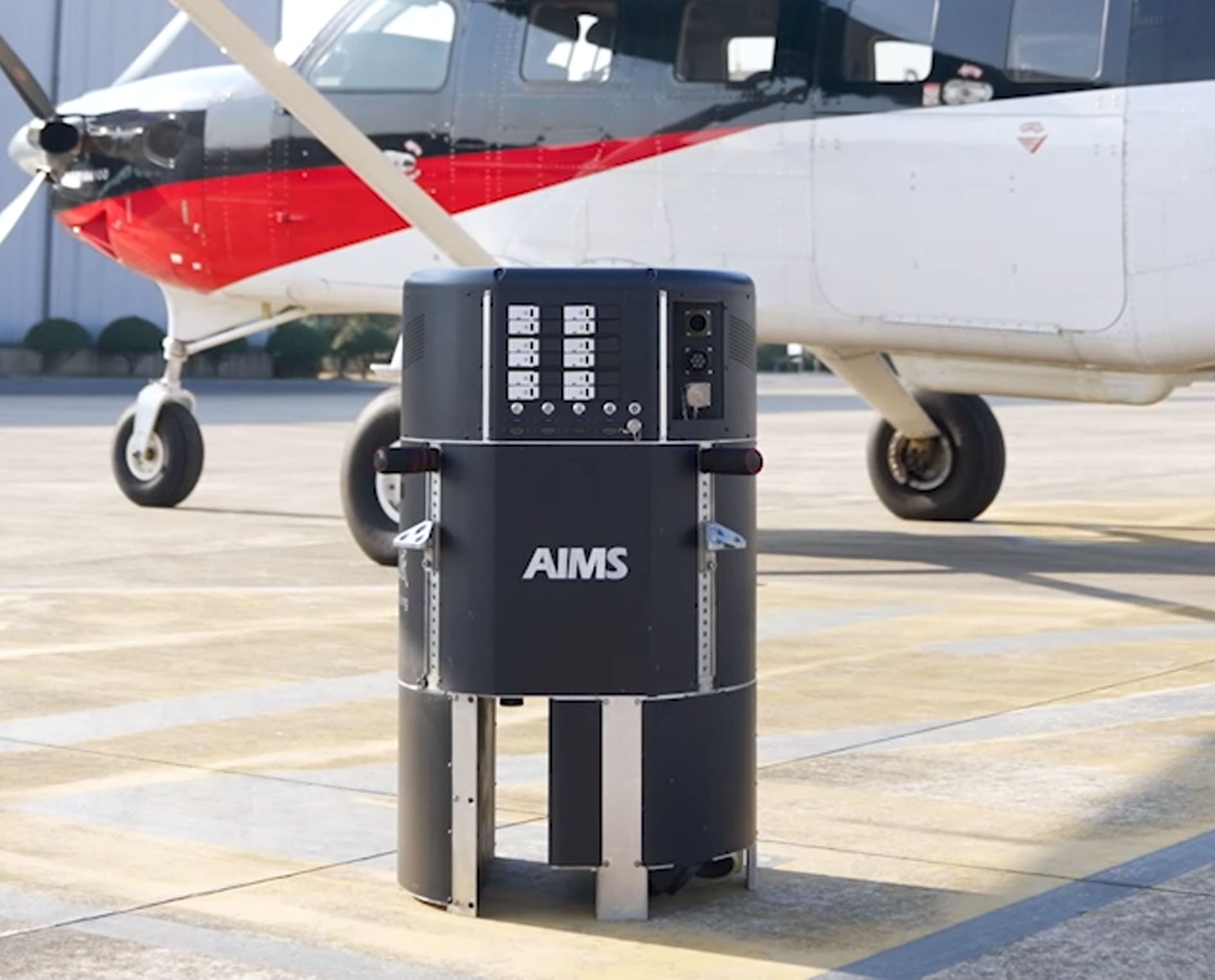 AIMS
AIMS AIMS-H Long Focus
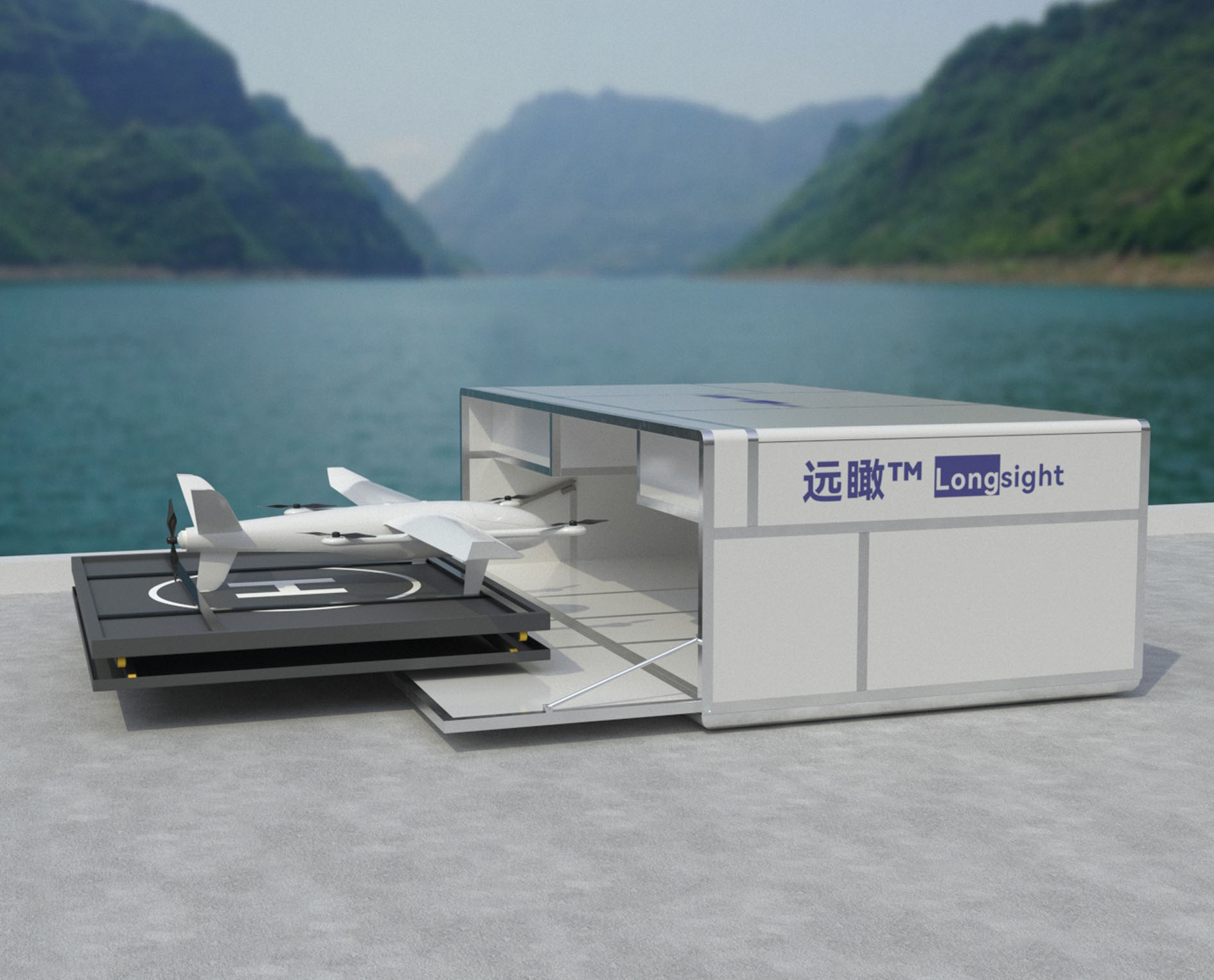 Farsight‚Ñ¢ System
 Riegl VQ-1560i
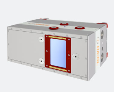 Riegl VQ-780II
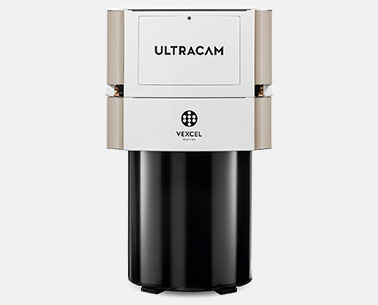 UltraCam Eagle M3
 Y-1 VTOL UAV
 Aerial Acquisition
 UAV Acquisition
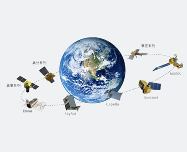 Satellite Acquisition
 Field Acquisition
 Integrated
 LiDAR
LiDAR Orthophoto
 DEM
DEM DTM/DSM
 3D Mapping
 Topographic
 Infrared
 Feature Extraction
 BIM
BIM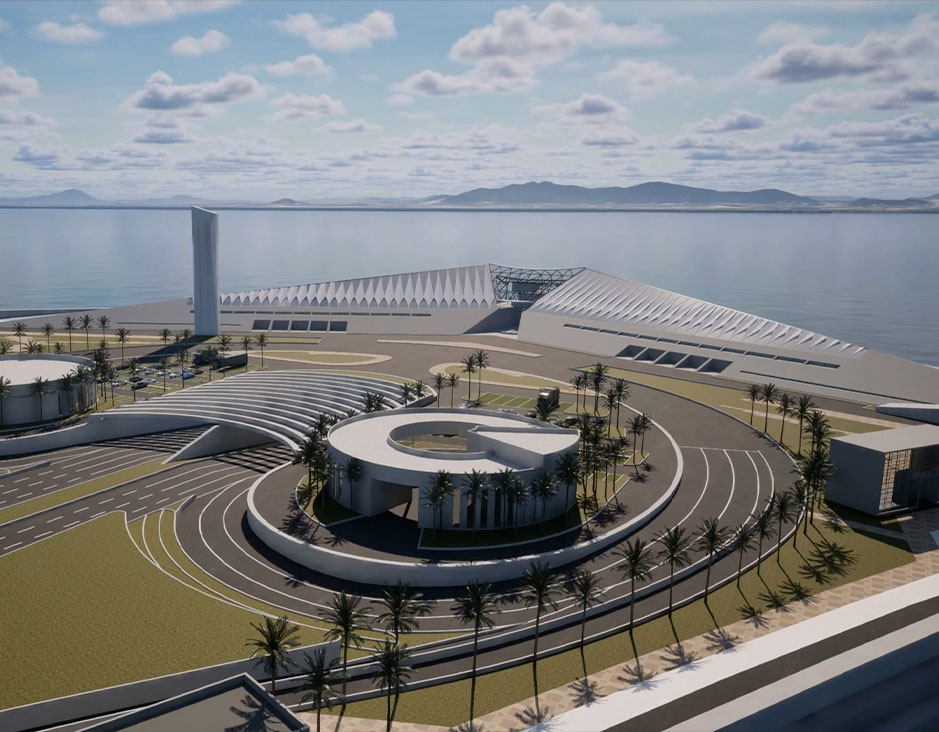 Transportation
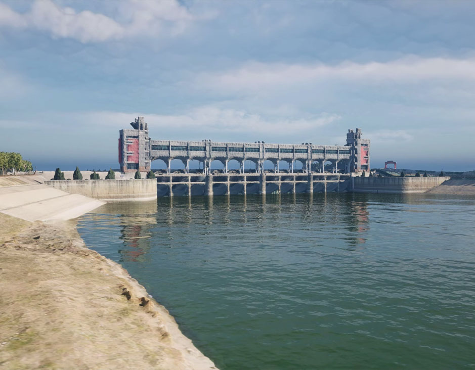 Water
Water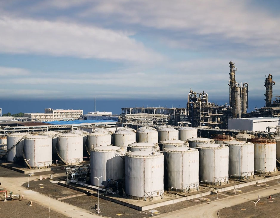 power
power 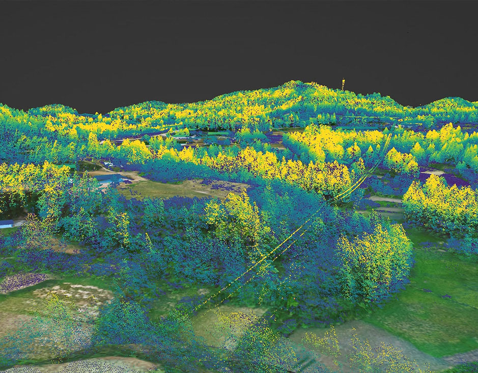 Forestry
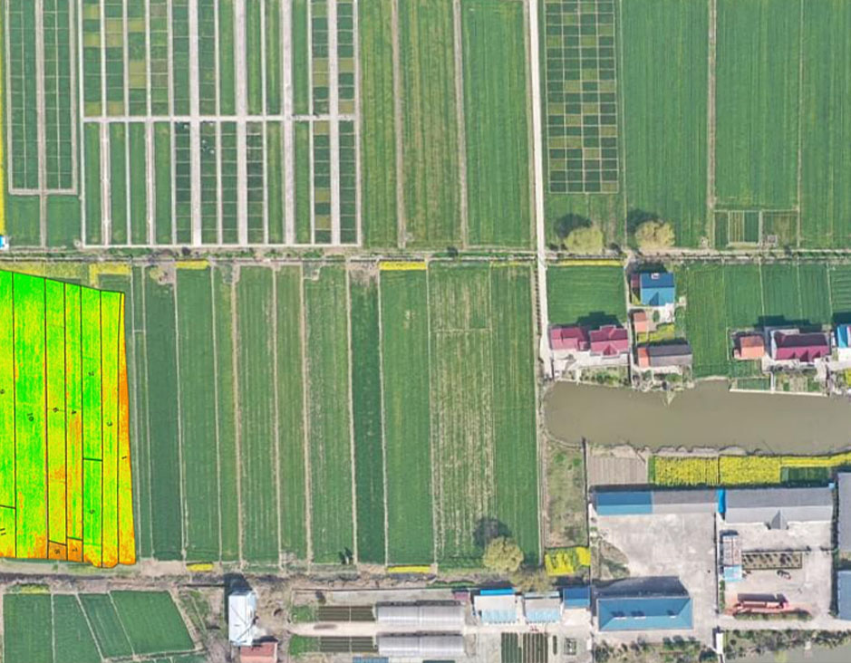 Agriculture
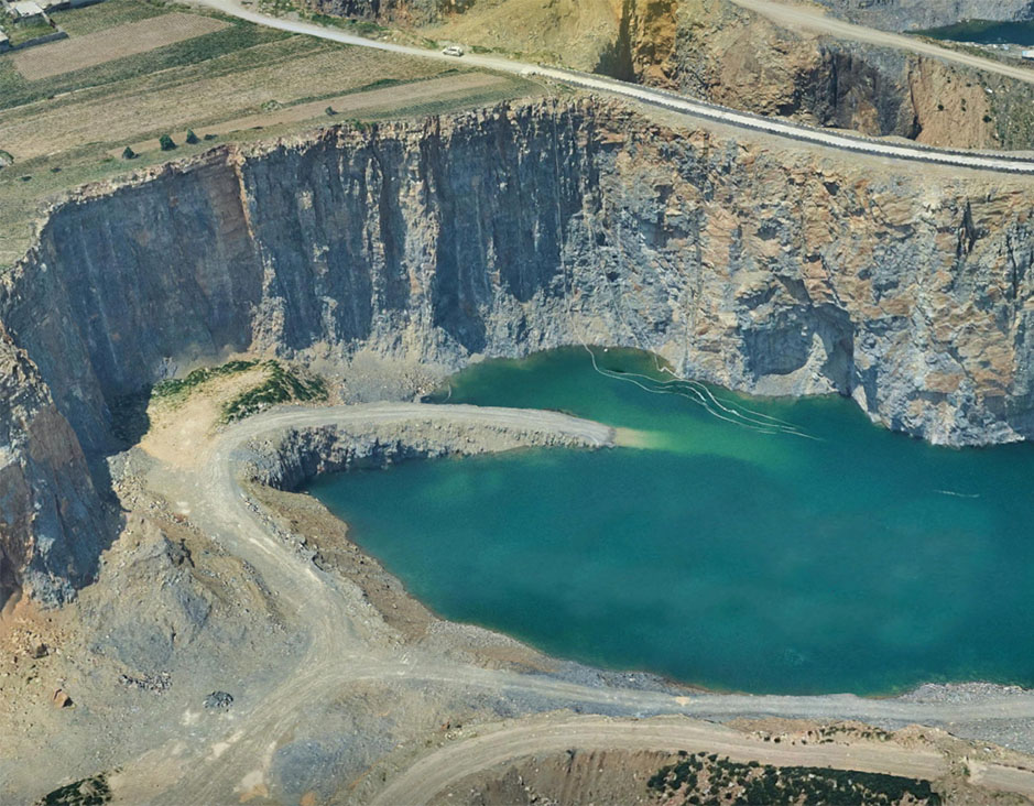 Mines & Quarries
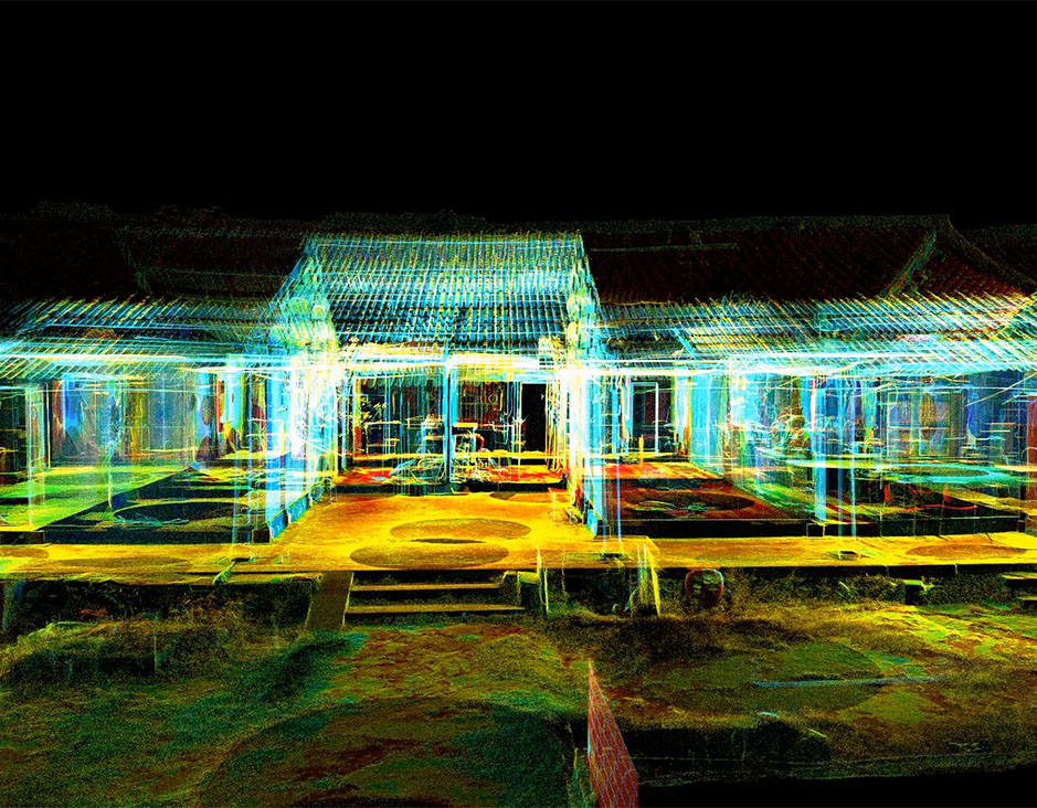 Heritage Buildings
 About feiyan
 Recognition
 Cases
Cases


