search
Enter search content
Tengger Desert Project's 1:1000 scale DLG
Feiyan use DLG to process aerial remote sensing images, obtain the original position and attitude of the images, and form a stereo image pair through the correlation of adjacent images. Then software and professional hardware equipment are used to track the 3D in the 3D visual formation, collect the 3D data, and then import the map editing system for editing, and finally obtain vector geographic information.
A professional digital photogrammetry system is used to process aerial remote sensing images, obtain the original position and attitude of the images, and form a stereo image pair through the correlation of adjacent images. Then software and professional hardware equipment are used to track the 3D in the 3D visual formation, collect the 3D data, and then import the map editing system for editing, and finally obtain vector geographic information, that is, digital line mapping (DLG).
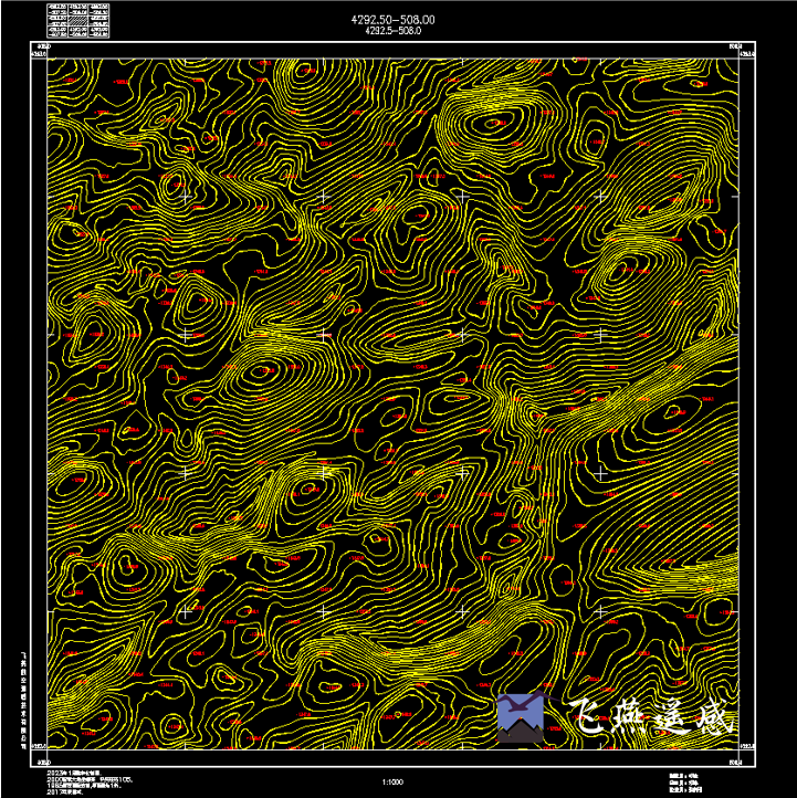
Tengger Desert Project 1:1000 scale DLG
RELATED DEVICE
relevant news

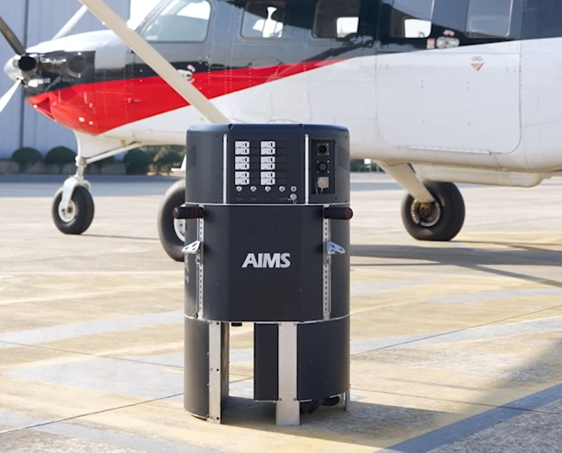 AIMS
AIMS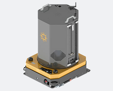 AIMS-H Long Focus
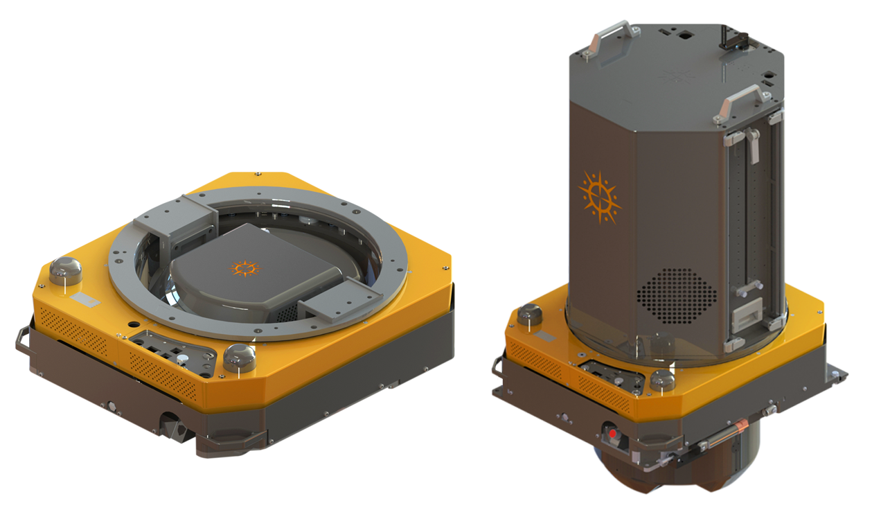
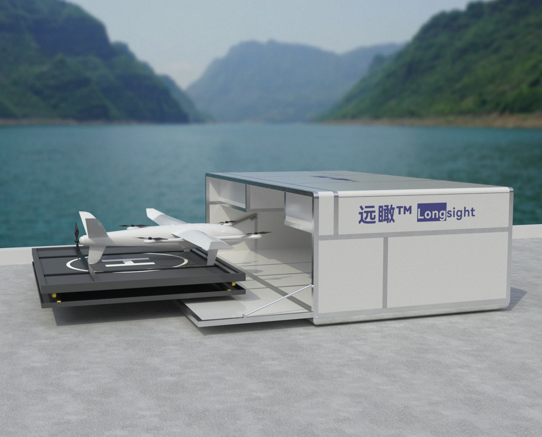 Farsightā¢ System
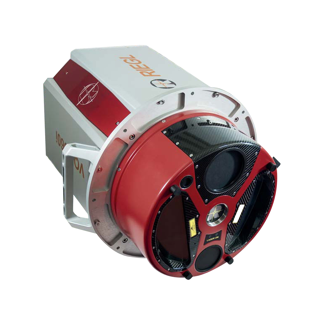
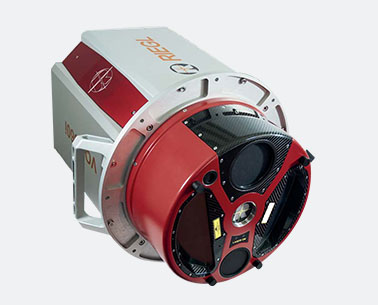 Riegl VQ-1560i
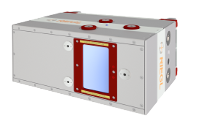
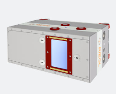 Riegl VQ-780II
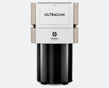 UltraCam Eagle M3
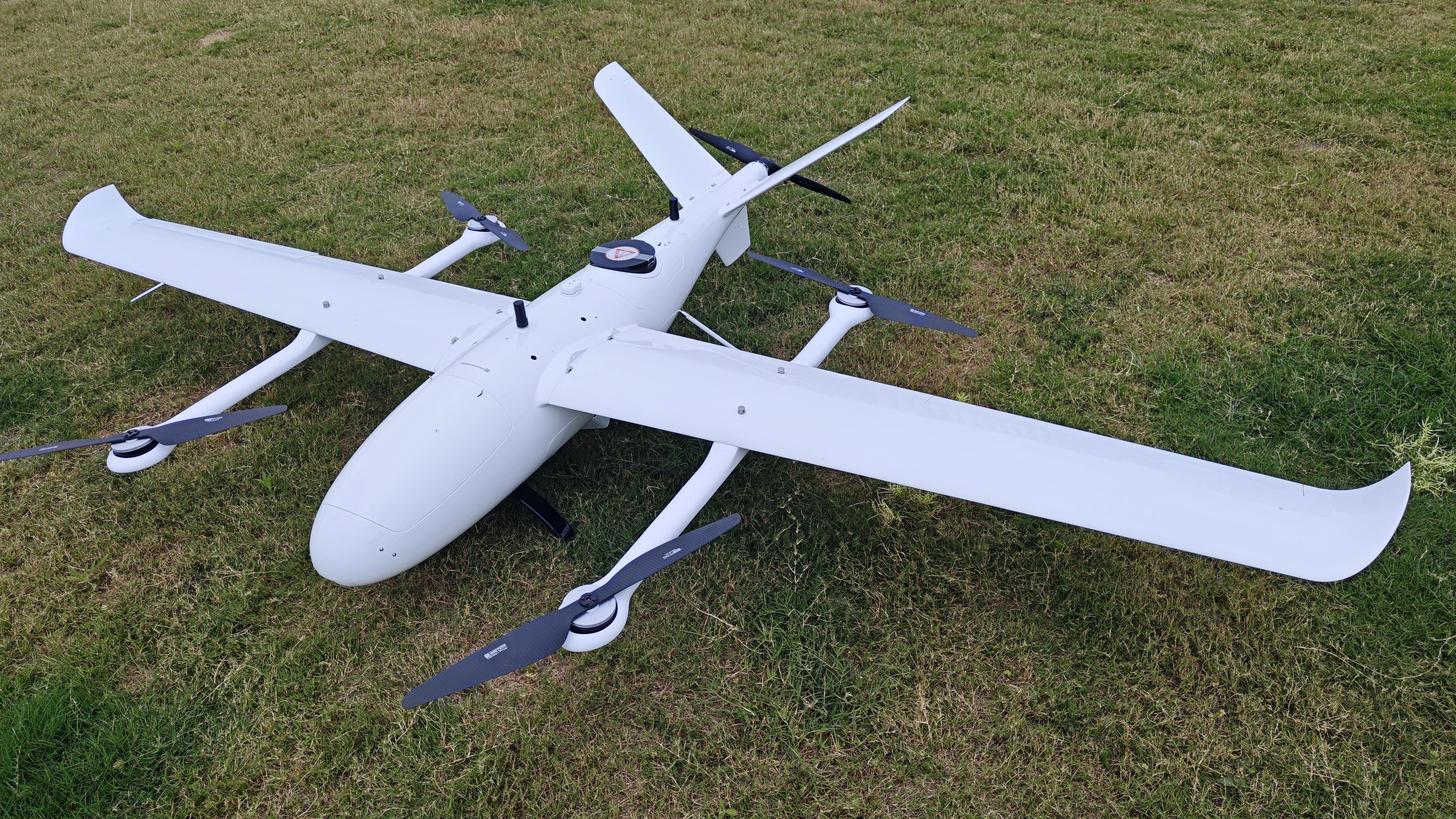
 Y-1 VTOL UAV
 Aerial Acquisition
 UAV Acquisition
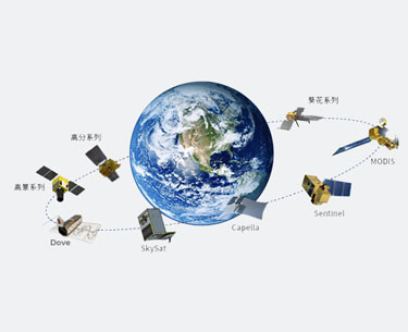 Satellite Acquisition
 Field Acquisition
 Integrated
 LiDAR
LiDAR Orthophoto
 DEM
DEM DTM/DSM
 3D Mapping
 Topographic
 Infrared
 Feature Extraction
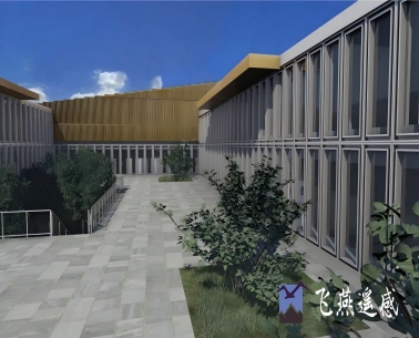 BIM
BIM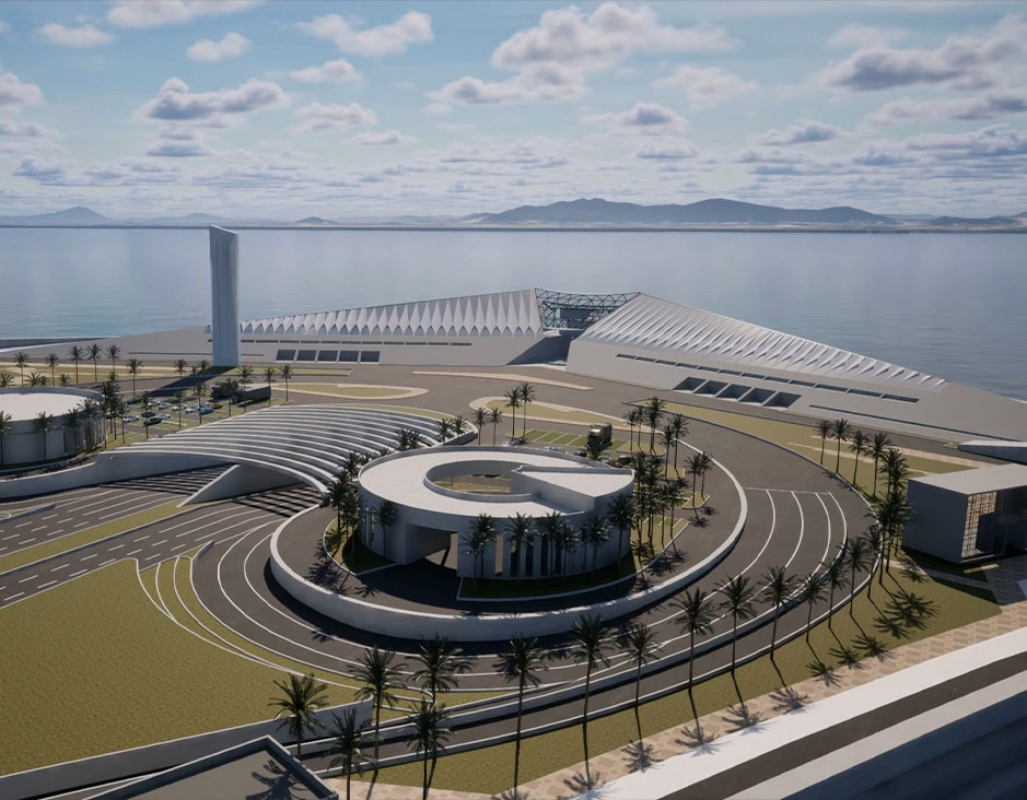 Transportation
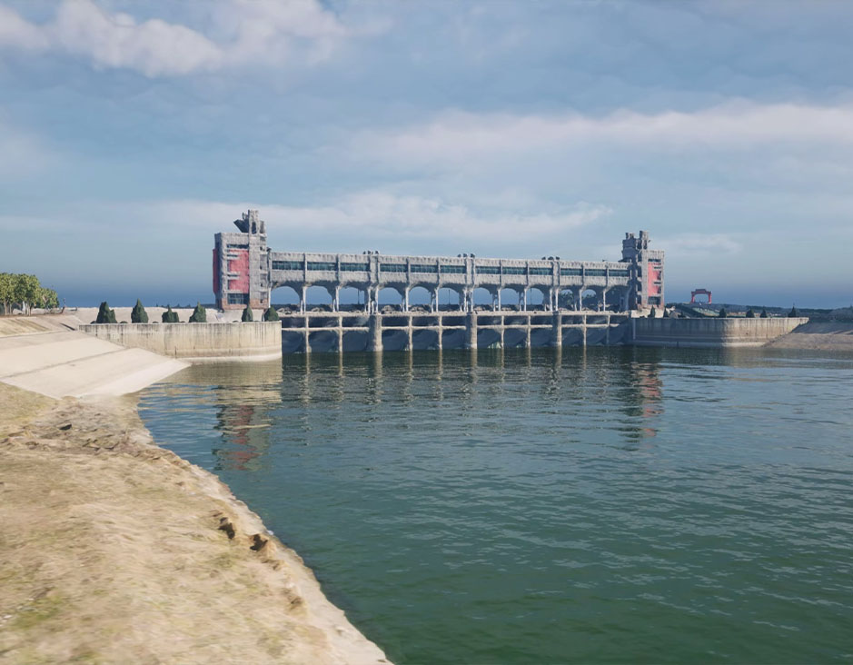 Water
Water power
power  Forestry
 Agriculture
 Mines & Quarries
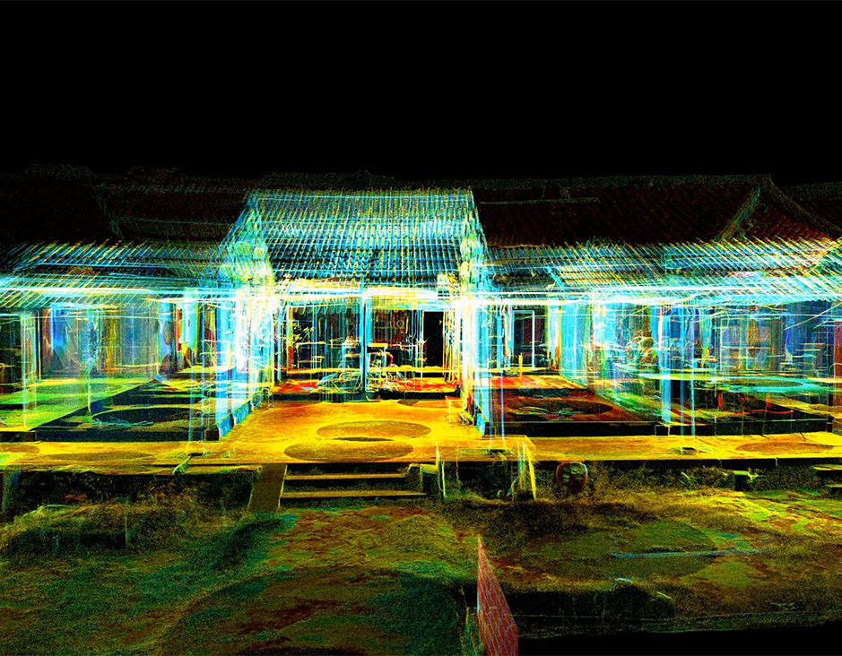 Heritage Buildings
 About feiyan
 Recognition
 Cases
Cases


