AIMS
AIMS AIMS-H Long Focus
 FarsightБ└╒ System
 Riegl VQ-1560i
 Riegl VQ-780II
 UltraCam Eagle M3
 Y-1 VTOL UAV
 Aerial Acquisition
 UAV Acquisition
 Satellite Acquisition
 Field Acquisition
 Integrated
 LiDAR
LiDAR Orthophoto
 DEM
DEM DTM/DSM
 3D Mapping
 Topographic
 Infrared
 Feature Extraction
 BIM
BIM Transportation
 Water
Water power
power  Forestry
 Agriculture
 Mines & Quarries
 Heritage Buildings
 About feiyan
 Recognition
 Cases
Cases

search


Who We Are
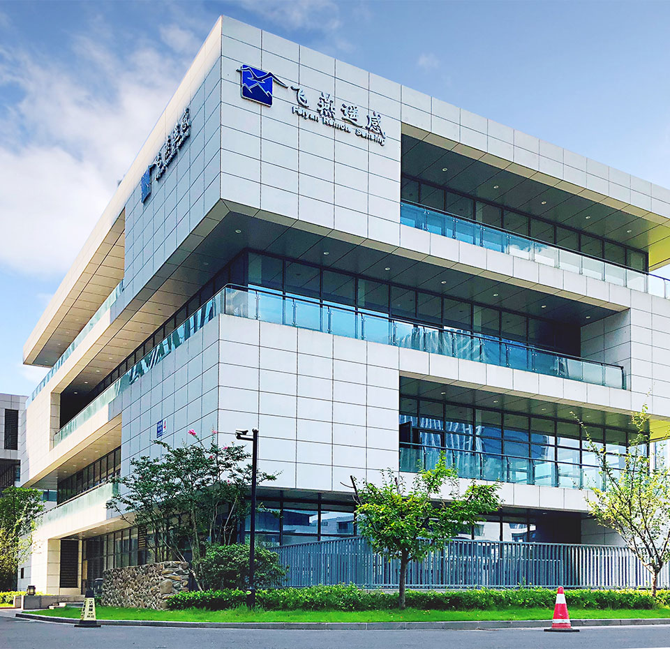
Founded in 2003, Feiyan Aerial Remote Sensing Tech Co., Ltd. has been the nation's largest independent geospatial data firm that provides geographic insights to many of the most influential projects in China. An industry leader in advanced mapping technology, Feiyan delivers the leading data quality with efficiency, while leveraging the most cutting-edge technologies for aerial data acquisitions, geospatial processing/analytics, and GIS visualization solutions.
Main business of Feiyan Technology
Aerial photogrammetry, LiDAR data acquisition, high-precision DEM, orthophoto, DSM production, remote sensing image analysis and interpretation, geographic information engineering, three-dimensional urban modeling, 3D GIS industrial solutions, etc. Customers use the company's solutions in a range of industrial disciplines - from urban planning and utilities to forestry, hydrology, agriculture, transportation, and natural resources.
High Tech
Feiyan has owned multiple most cutting-edge airborne sensors in the world. New RIEQL VQ-1560i provides a laser pulse repetition rate of up to 2 MHz. The LIDAR sensor, together with UltraCam Eagle, POS AV 610, Phase One PAN-U5 500 Mega Pixel camera and other leading systems, gives us unparalleled capabilities in the country to acquire the best remote sensing outcomes for mapping projects of different industries.
High Efficiency
From flight coordination to aerial photography implementation, data processing and application, the company has established solid aerial photography and GIS industrial service system, making us the well-known efficient remote sensing enterprise in China.
High Quality
Feiyan Earns multiple surveying and GIS quality awards every year. The achievements have won many national, provincial and ministerial awards for outstanding surveying and mapping projects, and have been awarded as provincial and municipal "Contract-abiding and Credit-worthy Enterprises" for many years.
We can provide services
-

Aerial Data Processing
Aerial data processing is the process of processing and interpreting data acquired by aerial imagery or remote sensing technology. This includes the use of specialized software and algorithms to convert raw aerial data into actionable insights and visualizations. Aerial data processing can be applied to a range of industries, such as agriculture, construction, environmental monitoring, and etc..
The projects of aerial photography processing Feiyan Remote Sensing has done serve various fields and industries, including agriculture, city planning, electric power, marine surveying, and resources with outputs include orthophoto, LiDAR point cloud classifications, 3D models, DTM, DSM, and multispectral results. Platforms include drones, airplanes, and satellites. Learn more
-
Equipment buying and selling (AIMS)
Highly integrated, the following content can be obtained simultaneously at one time.
A single 280 million pixel DOM.
A single 150 million pixel oblique aerial image.
Lidar point cloud with 2 million points per second.
Hyperspectral image with resolution better than 5nm.
The top AP60 POS system guarantees the accuracy.
-
Drone Photography Services
Get maps geo-referenced orthomosaics, and real-time project updates. Take measurements from aerial photographs and convert images of land masses into maps, 3D models, or drawings.
-
Satellite Remote Sensing Data Service Agent
We can provide users with sub-meter-level ordinary optical images, sub-meter-level luminous images, sub-meter-level video images, large wide-band multi-spectral multi-spectral images, Remote sensing data products such as stereo images. It can provide high-precision and wide-range space observation services for land resources, agriculture, water conservancy and forestry resource monitoring, environmental protection and other departments.