AIMS
AIMS AIMS-H Long Focus
 FarsightБ└╒ System
 Riegl VQ-1560i
 Riegl VQ-780II
 UltraCam Eagle M3
 Y-1 VTOL UAV
 Aerial Acquisition
 UAV Acquisition
 Satellite Acquisition
 Field Acquisition
 Integrated
 LiDAR
LiDAR Orthophoto
 DEM
DEM DTM/DSM
 3D Mapping
 Topographic
 Infrared
 Feature Extraction
 BIM
BIM Transportation
 Water
Water power
power  Forestry
 Agriculture
 Mines & Quarries
 Heritage Buildings
 About feiyan
 Recognition
 Cases
Cases

search

Enter search content


Product
 HomeЦ──>Ц──ProductЦ──
-

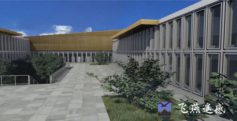
BIM
Building Information Modeling (BIM) is a digital process based on intelligent 3D models. It involvesБ─╕ more > -
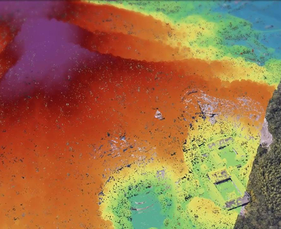
LiDAR
Laser scanning allows spatial measurements thanks to capturing of a laser beam reflection. This methБ─╕ more > -
Orthophoto
The orthophoto, also called an orthomosaic or aerial photo map, is an orthorectified mosaic of hundrБ─╕ more > -
DEM
DEM Digital Elevation Model is a three-dimensional representation of the earth's surface, representeБ─╕ more > -
DTM/DSM
Terrain models are based on point clouds obtained during airborne laser scanning. A Digital Terrain Б─╕ more > -
3D Mapping
Increased overlap parameters, both in the case of vertical and oblique imagery, make it possible to Б─╕ more > -
Topographic
A topographic map is a type of map with a detailed representation of surface. The topographic map deБ─╕ more > -
Aerial Integrated Multi Sensor
Aerial integrated multi sensor technology combines various sensors into a single system, providing cБ─╕ more > -
Infrared
Color Infrared (CIR) Imagery Aerial imagery, whether it is panchromatic (gray scale), color, or coloБ─╕ more > -
Feature Extraction
Feature Extraction uses an object-based approach to classify imagery, where an object (also called sБ─╕ more >