 Homeć>ćServiceć

search
Enter search content
- Aerial Acquisition
- UAV Acquisition
- Satellite Acquisition
- Field Acquisition
Aerial Acquisition
As an aerial remote sensing company, Feiyan has been delivering spatial data using our aircraft and advanced aerial sensors since 2003. We hope we can serve our clients with technology, profession and experience. For more information, please feel free to contact us.
Aerial Sensors


Manned Aerial Imagery
UAV Acquisition
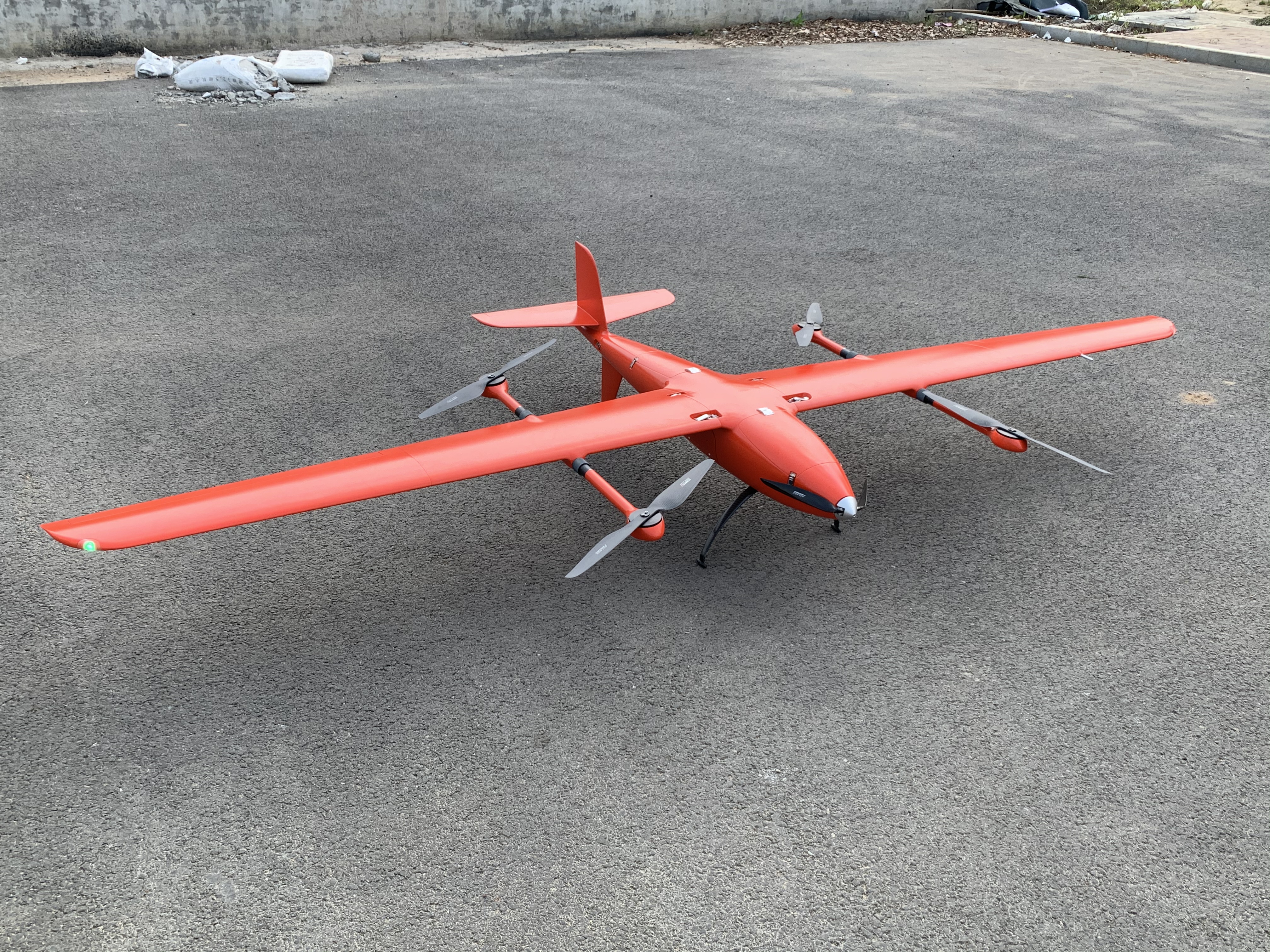
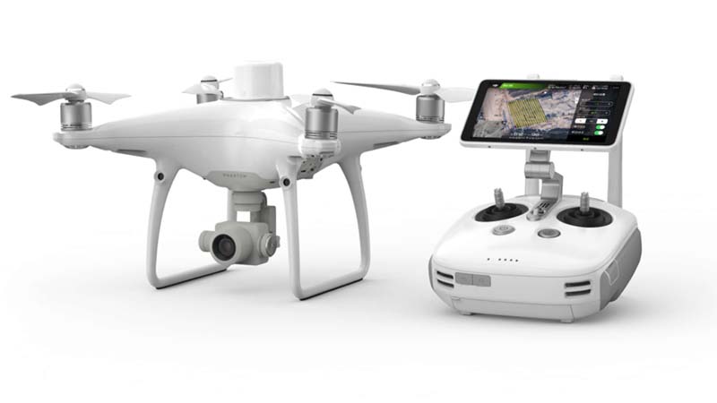
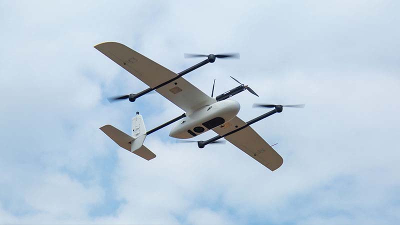
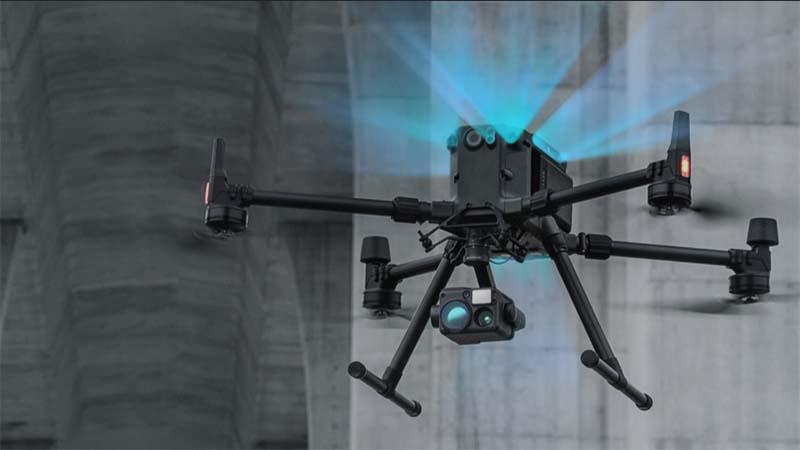
Feiyan Remote Sensing has multiple sets of UAV equipment, which can achieve multiple information acquisition and disaster emergency monitoring, and can flexibly provide customized solutions according to user needs. For more information, please feel free to contact us!
UAV Fleet


Aerial Processing Products
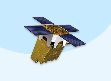
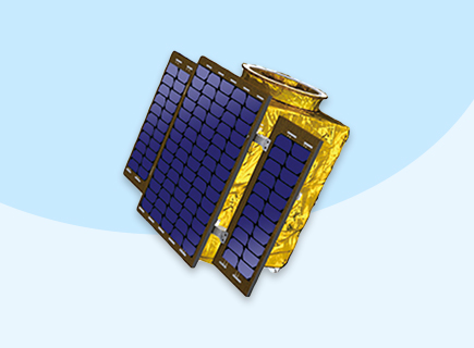
Satellite Acquisition
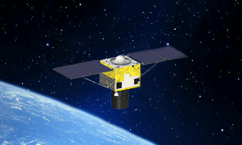
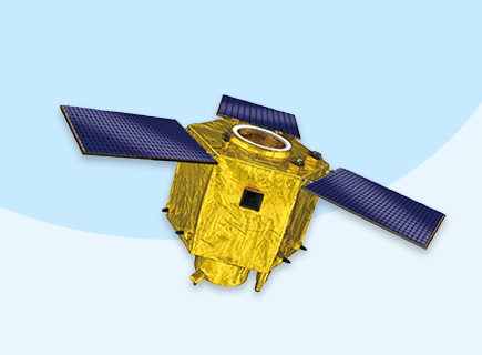
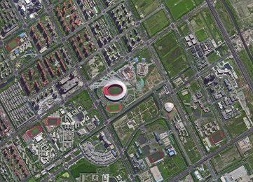
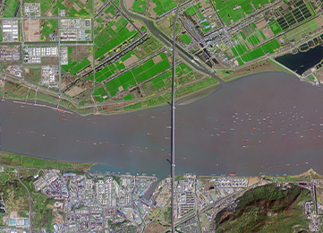
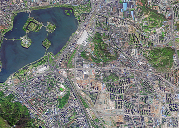
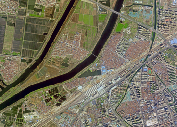
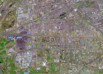
As a satellite imaging provider, Feiyan uses various but cost-efficient satellite constellations for faster and high-quality satellite imagery products. Contact us to get further information for inquiries and free samples.
Satellite Sensors


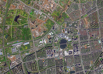
Satellite imagery
Field Acquisition
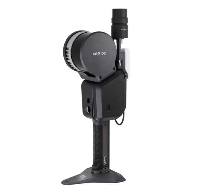
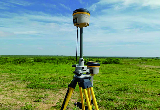
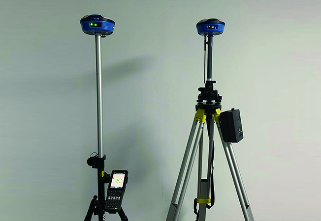
Feiyan Remote Sensing has rich experience in geodetic data acquisition. In geodetic measurements for environmental inventory and reference measurements for remote sensing analyses, we can provide support with our high-effective system. Contact us to get a best solution of geodetic data acquisition for your project.
Equipments


3D Reconstruction

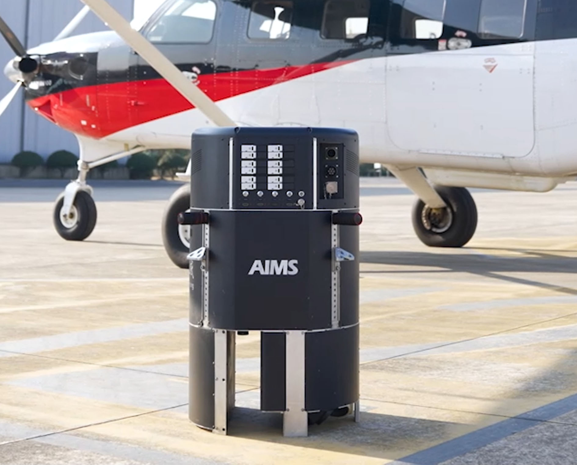
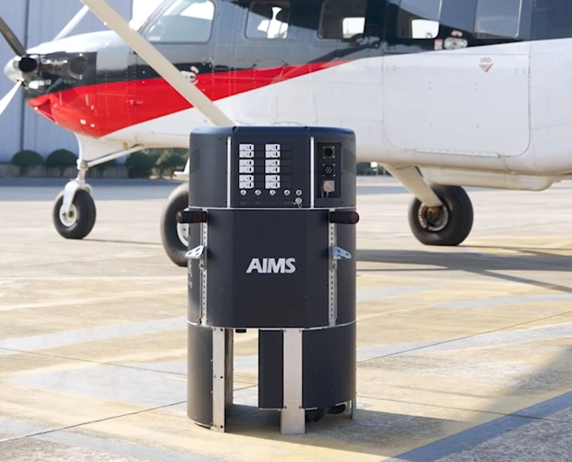 AIMS
AIMS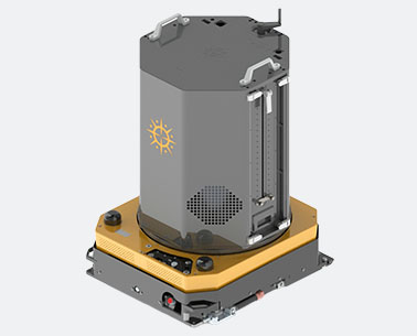 AIMS-H Long Focus
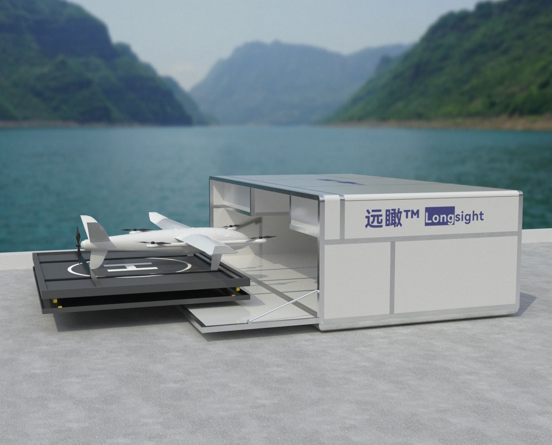 Farsightā¢ System
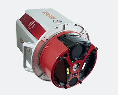
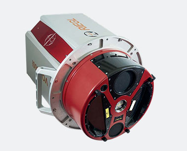 Riegl VQ-1560i
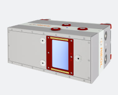
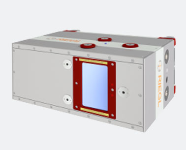 Riegl VQ-780II
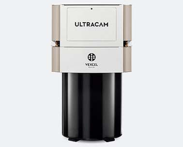
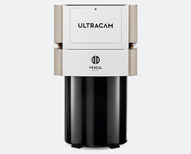 UltraCam Eagle M3
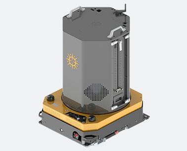
 Y-1 VTOL UAV
 Aerial Acquisition
 UAV Acquisition
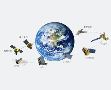 Satellite Acquisition
 Field Acquisition
 Integrated
 LiDAR
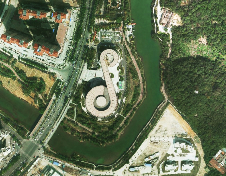
LiDAR Orthophoto
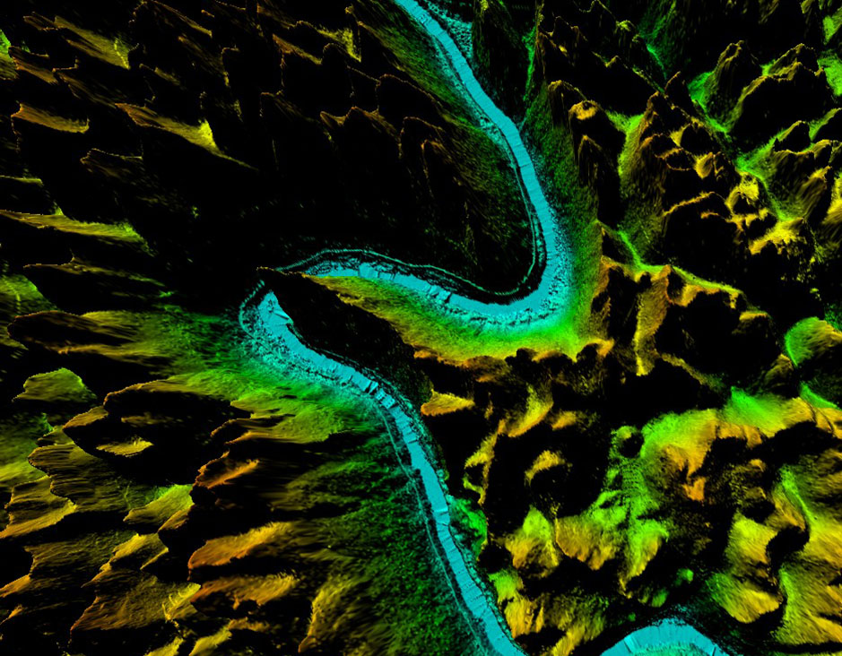
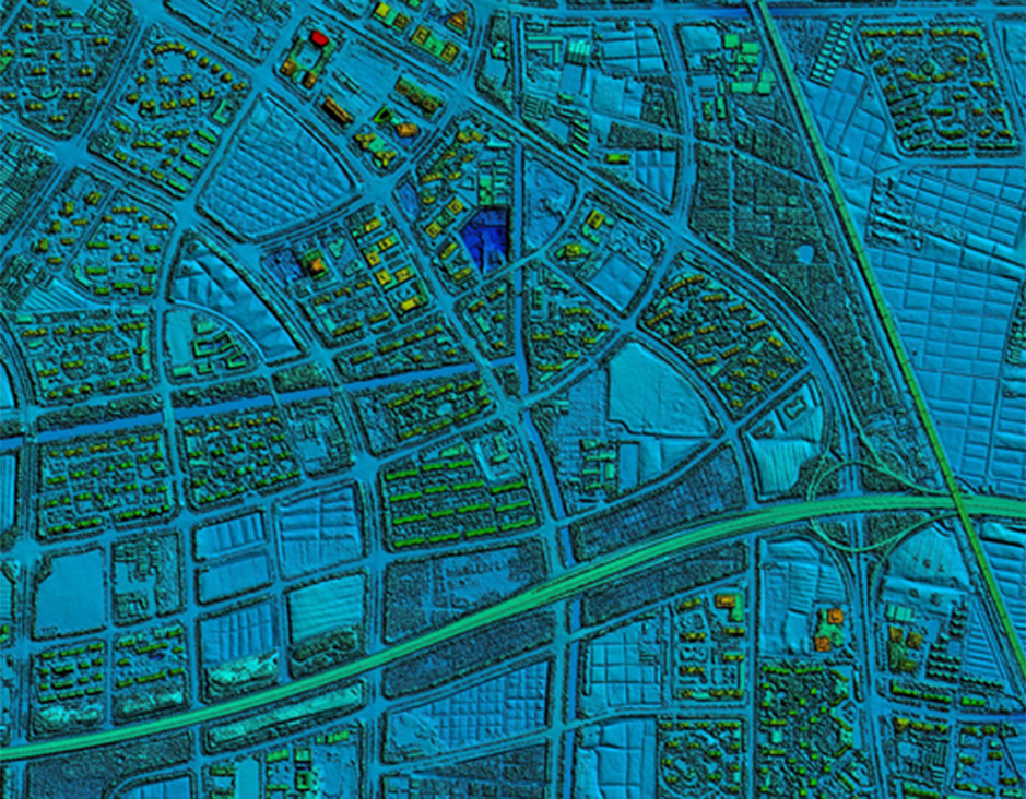
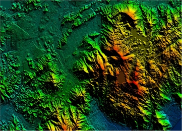
 DEM
DEM DTM/DSM
 3D Mapping
 Topographic
 Infrared
 Feature Extraction
 BIM
BIM Transportation
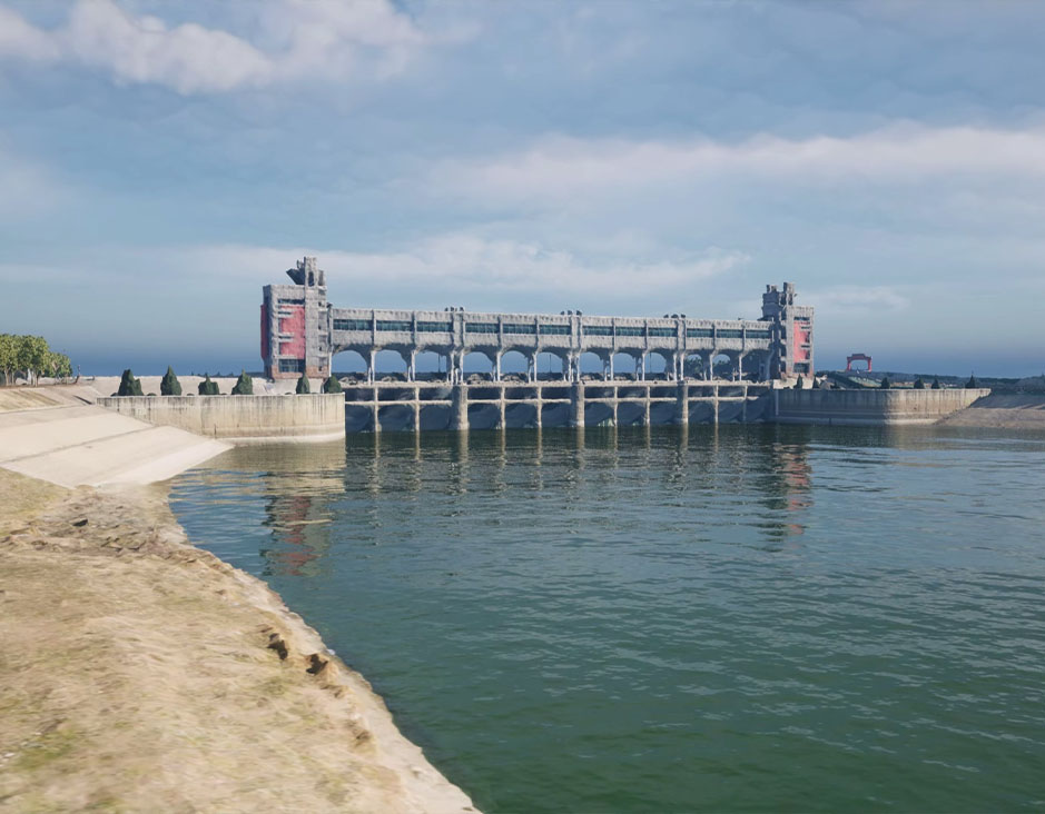 Water
Water power
power 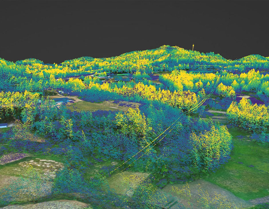 Forestry
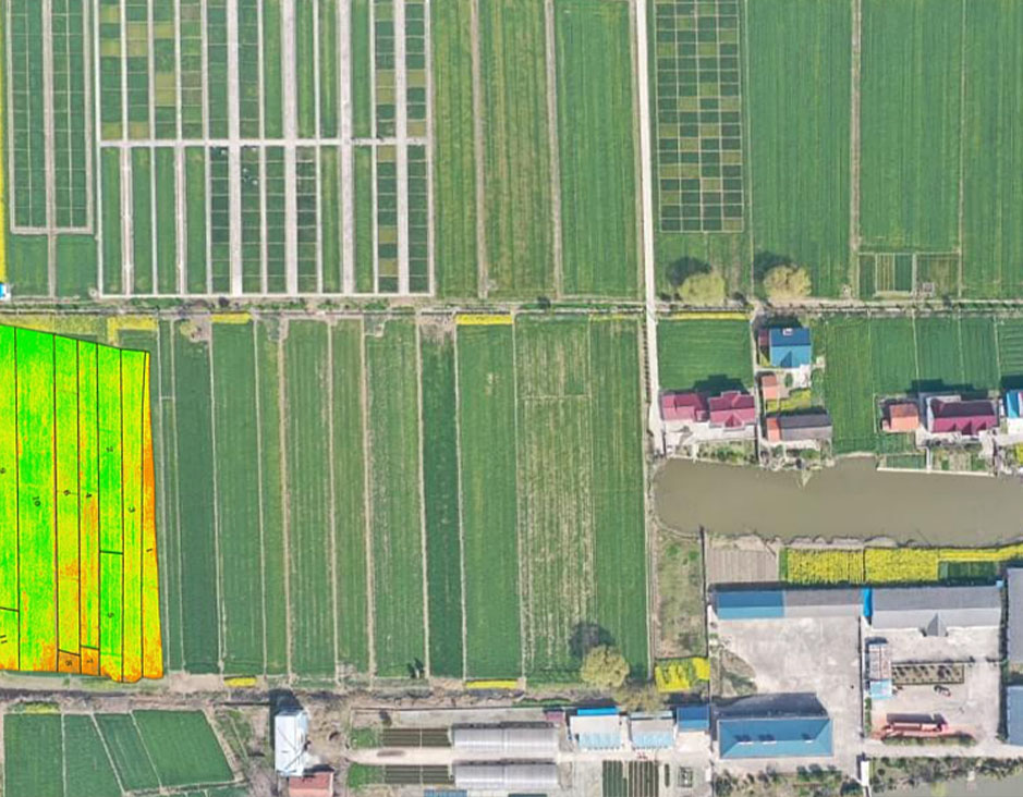 Agriculture
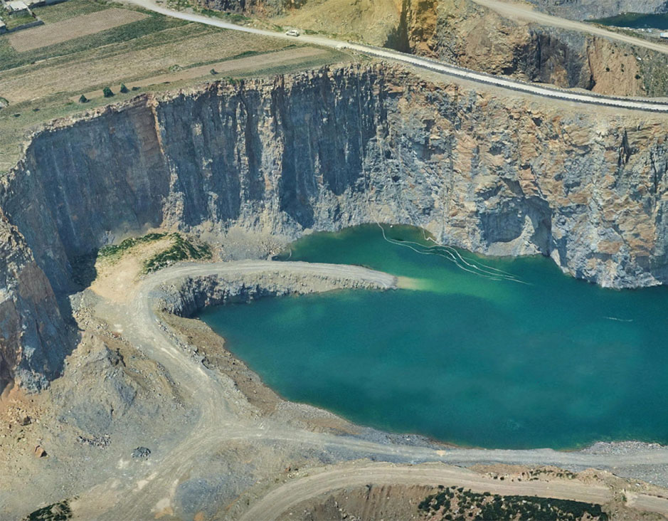 Mines & Quarries
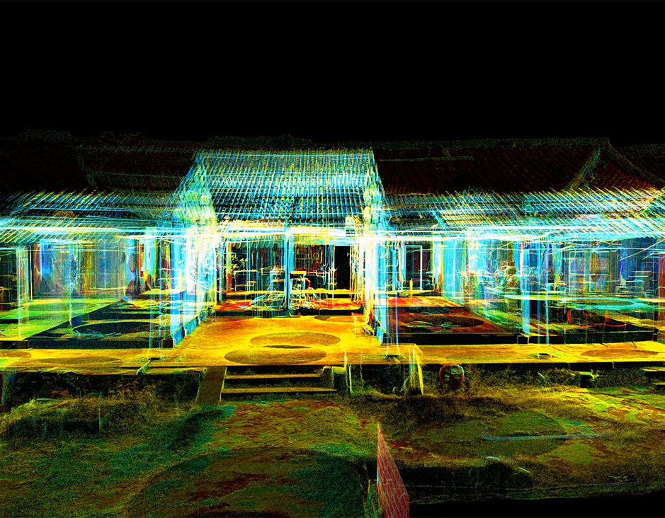 Heritage Buildings
 About feiyan
 Recognition
 Cases
Cases


