
search
Transportation Asset Management & Resilience

We deliver a comprehensive, data-driven foundation for modern Transportation Asset Management & Resilience. By integrating aerial photography services with AI analytics, we transform how agencies proactively maintain critical infrastructure and rapidly respond to disruptionsвҖ”ensuring safety, optimizing lifecycle costs, and enhancing network durability. Our core proposition lies in bridging the gap between infrastructure management needs and actionable insight: our Farsightв„ў Aerial Photography Services and Swift4D Analytics Platform enable a paradigm shift from reactive, manual inspections to a predictive and precision-based management model, which is central to building a resilient transportation network capable of withstanding chronic stresses and acute shocks.
Our Differentiated Solution Framework
1. Automated, High-Fidelity Data Acquisition
The foundation of sound asset management is accurate, timely, and comprehensive data. Traditional methods often fall short in efficiency, coverage, and safety.
lThe Farsightв„ў Autonomous UAS Network: We deploy a network of unmanned, weather-resistant Farsight Hangers along corridors, creating a persistent "Low-Altitude Satellite Chain" for 24/7 operational readiness.
lMulti-Sensor, On-Demand Data Capture: Each system deploys UAVs equipped with our AIMS mini payload, capturing high-resolution imagery, LiDAR point clouds, and 4K video in a single flight. This supports the creation of an "Air-Space-Ground" integrated perception system.
lOperational Excellence: With a 50 km operational radius per hanger, we achieve extensive coverage efficiently, enabling rapid, large-scale surveys that are safer and more cost-effective than ground crews.
2. AI-Powered Analytics & Digital Twin Integration
Raw data is transformed into actionable intelligence through our proprietary analytics engine.
SwiftAI for Automated Asset Inspection: Our Swift AI algorithm warehouse automatically detects and classifies road defects (cracks, potholes), asset conditions, and risks like vegetation encroachment, moving maintenance from "passive emergency response" to "active prevention".
Digital Twin for Lifecycle Management: We integrate multi-temporal data to build and update high-fidelity 3D Reality Models of your infrastructure. This Digital Twin acts as a single source of truth for planning, simulation, and health monitoring, forming a "Digital Neural System" for the road network.
Predictive Maintenance Insights: By analyzing sequential data, our platform models deterioration trends, enabling predictive maintenance and optimized long-term budget planning, a core goal of modern Pavement Management Systems (PMS).
3. Building Systemic Resilience & Enabling Rapid Response
True resilience requires both daily risk mitigation and extraordinary event response capabilities.
Proactive Risk Monitoring: We provide continuous monitoring for slope stability, pavement health, and drainage conditions, especially in high-risk areas like mountainous sections or before/after extreme weather events.
Accelerated Emergency Response: In the event of a landslide, flood, or major accident, the nearest Farsight hanger can deploy a UAV within minutes. We deliver urgent data acquisition, rapid damage assessment, and 10-minute 3D scene modeling to support scientific rescue and resource allocation decisions.
Decision Support for Recovery: Our tools help quantify damage, plan optimal repair sequences, and track restoration progress against plans, compressing recovery timelines and supporting "Emergency Mission" objectives.
Application Scenarios & Client Value


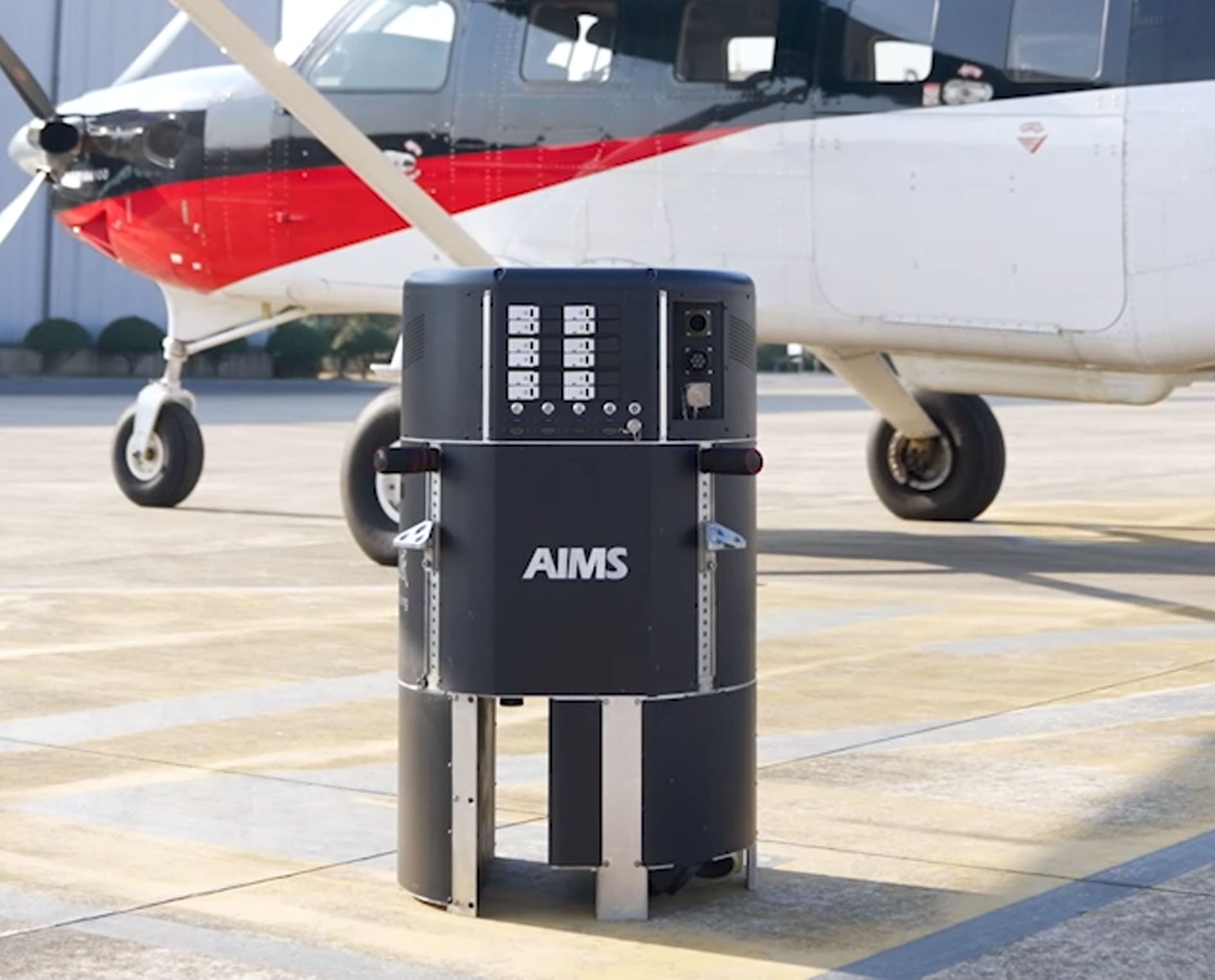 AIMS
AIMS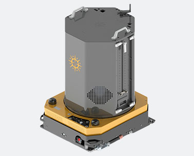 AIMS-H Long Focus
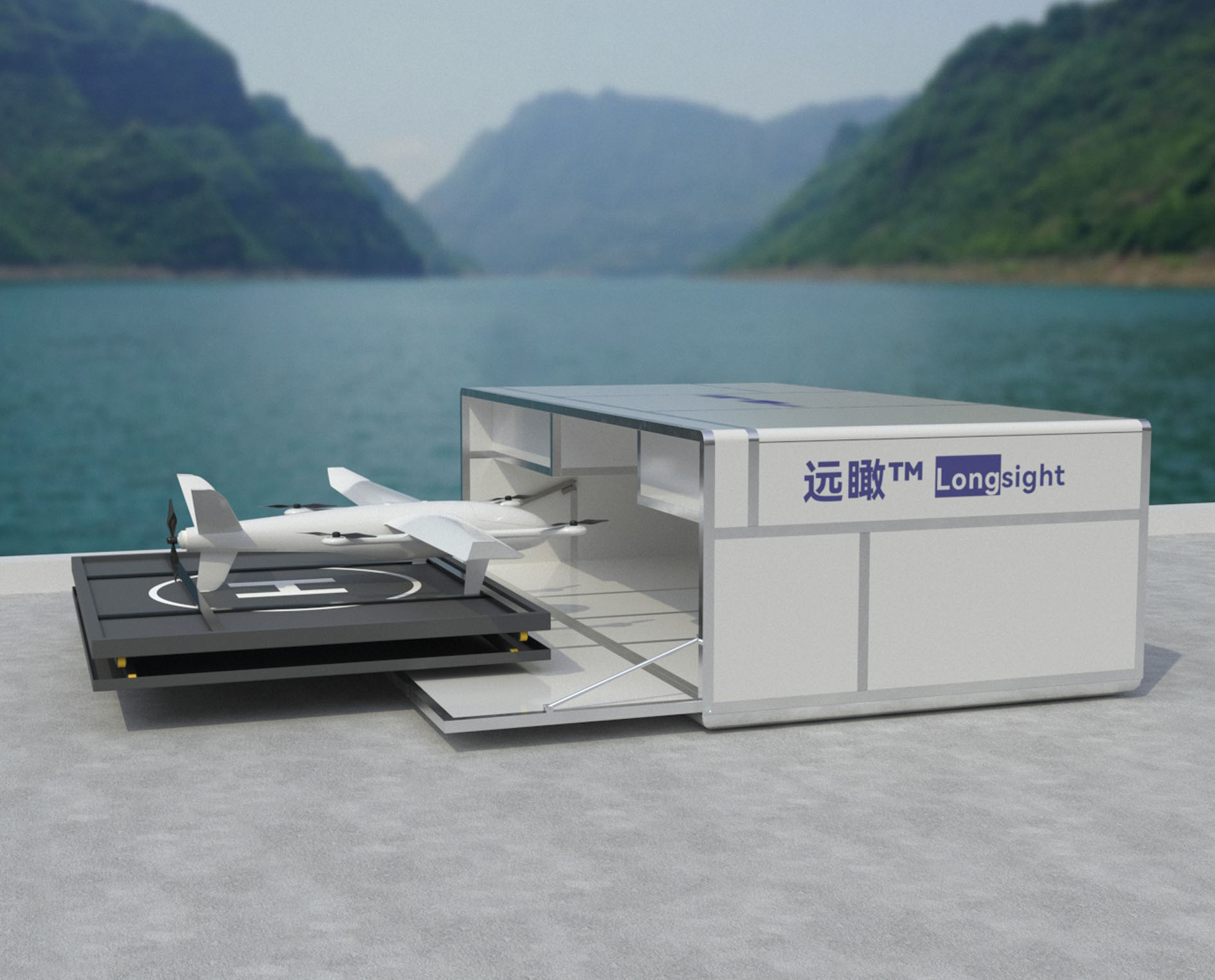 Farsightв„ў System
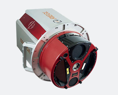 Riegl VQ-1560i
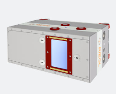 Riegl VQ-780II
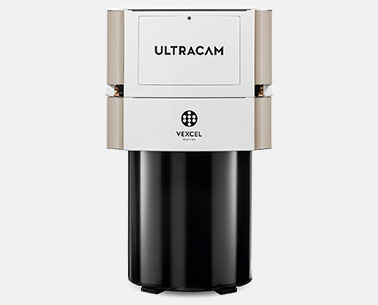 UltraCam Eagle M3
 Y-1 VTOL UAV
 Aerial Acquisition
 UAV Acquisition
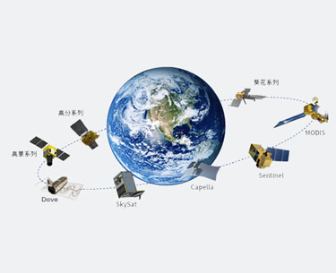 Satellite Acquisition
 Field Acquisition
 Integrated!
 LiDAR
LiDAR Orthophoto
 DEM
DEM DTM/DSM
 3D Mapping
 Topographic
 Infrared
 Feature Extraction
 BIM
BIM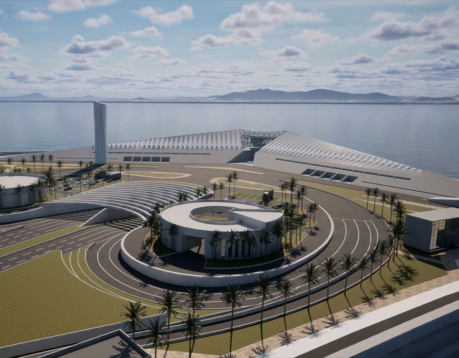 Transportation
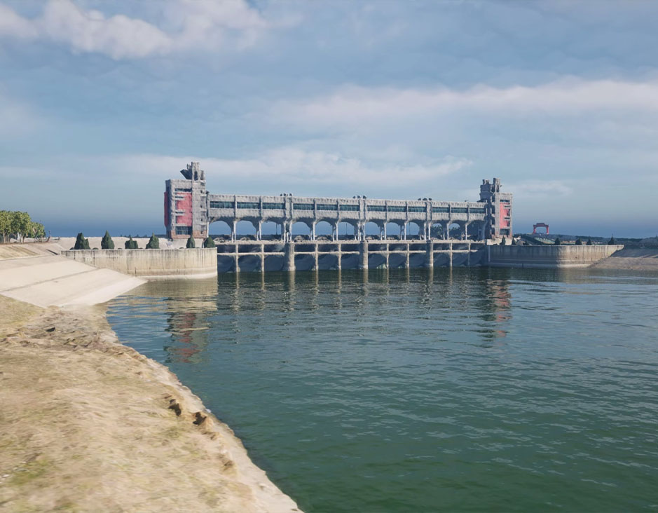 Water
Water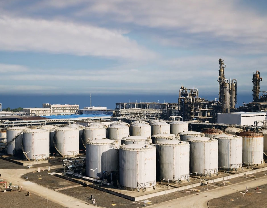 power
power 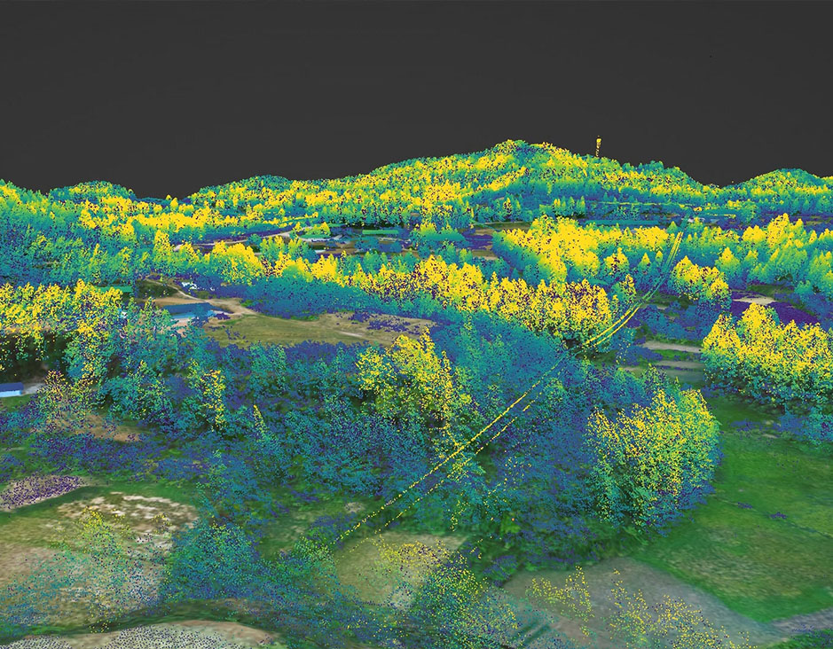 Forestry
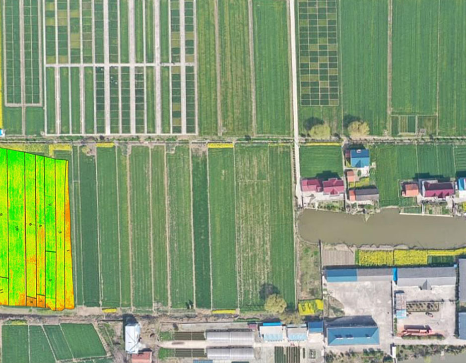 Agriculture
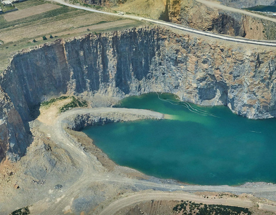 Mines & Quarries
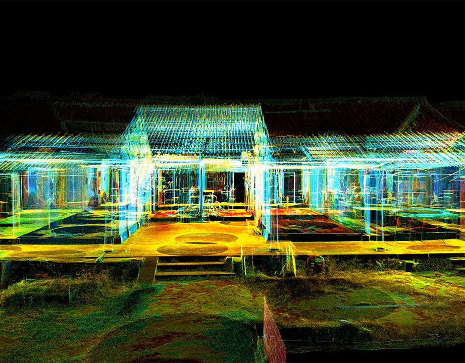 Heritage Buildings
 About feiyan
 Recognition
 Cases
Cases


