 AIMS
AIMS AIMS-H Long Focus
 Farsightâą System
 Riegl VQ-1560i
 Riegl VQ-780II
 UltraCam Eagle M3
 Y-1 VTOL UAV
 Aerial Acquisition
 UAV Acquisition
 Satellite Acquisition
 Field Acquisition
 Integrated
 LiDAR
LiDAR Orthophoto
 DEM
DEM DTM/DSM
 3D Mapping
 Topographic
 Infrared
 Feature Extraction
 BIM
BIM Transportation
 Water
Water power
power  Forestry
 Agriculture
 Mines & Quarries
 Heritage Buildings
 About feiyan
 Recognition
 Cases
Cases

search


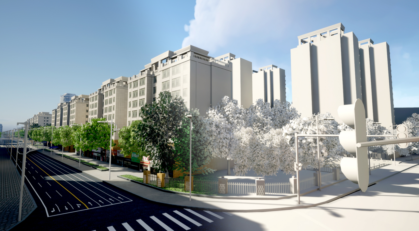
Urban full space full elements geographical entity
Aug 25, 2023
For the automatic batch construction of level 1 and 2 monomer models of urban buildings, the combined processing technology of "airborne laser + oblique photography +DLG" can be adopted to extract the building point cloud data after the obtained airborne laser point cloud data is preprocessed and classified. Building vertex clustering, roof plane fitting, roof boundary and topological relationship analysis are used to obtain the roof structural plane. Based on the building vector data extracted from the existing DLG, the point cloud data is combined to stretch the building height, obtain the roof structural plane, and automatically build the building white model in batches. Through the automatic matching of oblique image and 3D model, the texture of building model is automatically generated by oblique image.


