
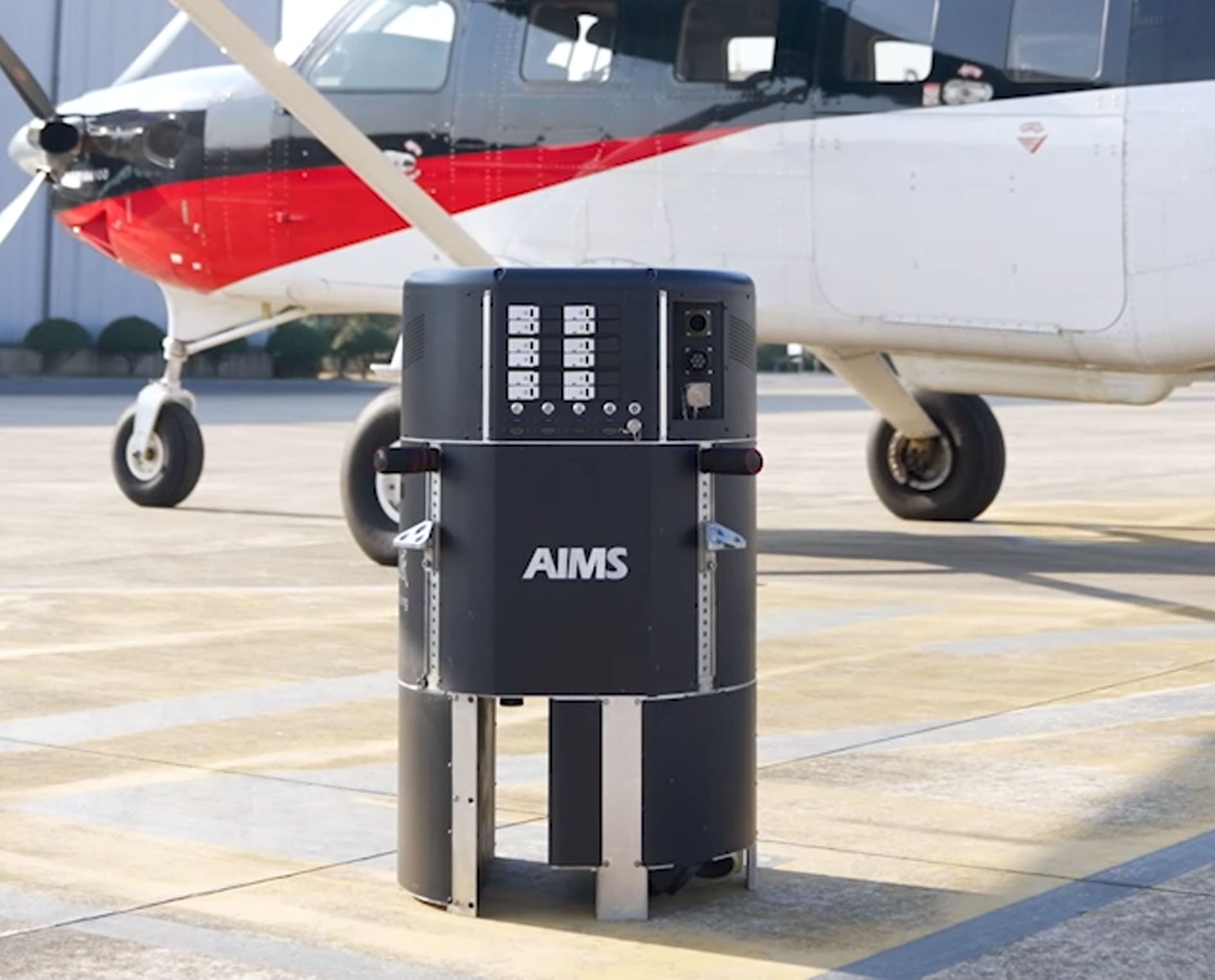
 AIMS
AIMS AIMS-H Long Focus
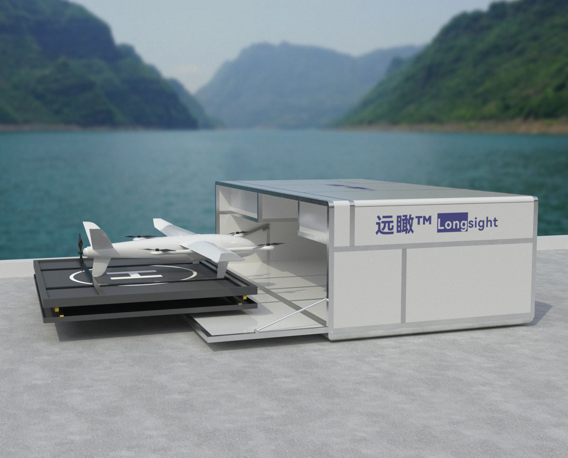 Farsightâ„¢ System
 Riegl VQ-1560i
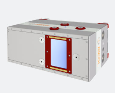 Riegl VQ-780II
 UltraCam Eagle M3
 Y-1 VTOL UAV
 Aerial Acquisition
 UAV Acquisition
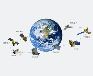 Satellite Acquisition
 Field Acquisition
 Integrated
 LiDAR
LiDAR Orthophoto
 DEM
DEM DTM/DSM
 3D Mapping
 Topographic
 Infrared
 Feature Extraction
 BIM
BIM Transportation
 Water
Water power
power 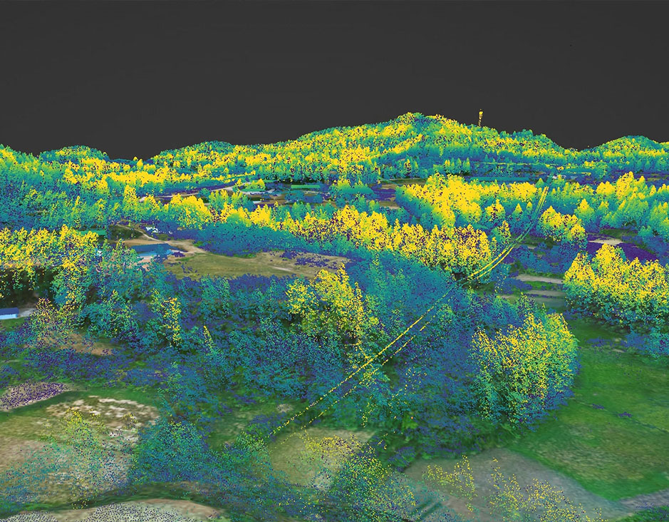 Forestry
 Agriculture
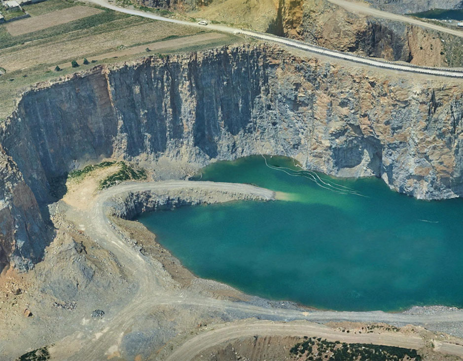 Mines & Quarries
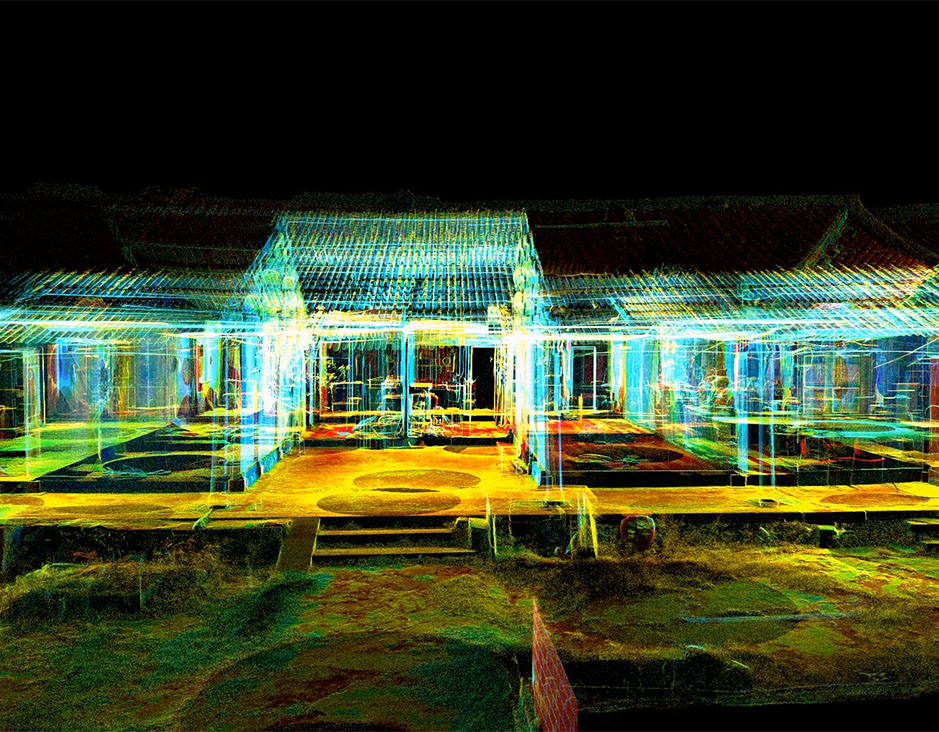 Heritage Buildings
 About feiyan
 Recognition
 Cases
Cases

search


Solution

Power Line Route Planning
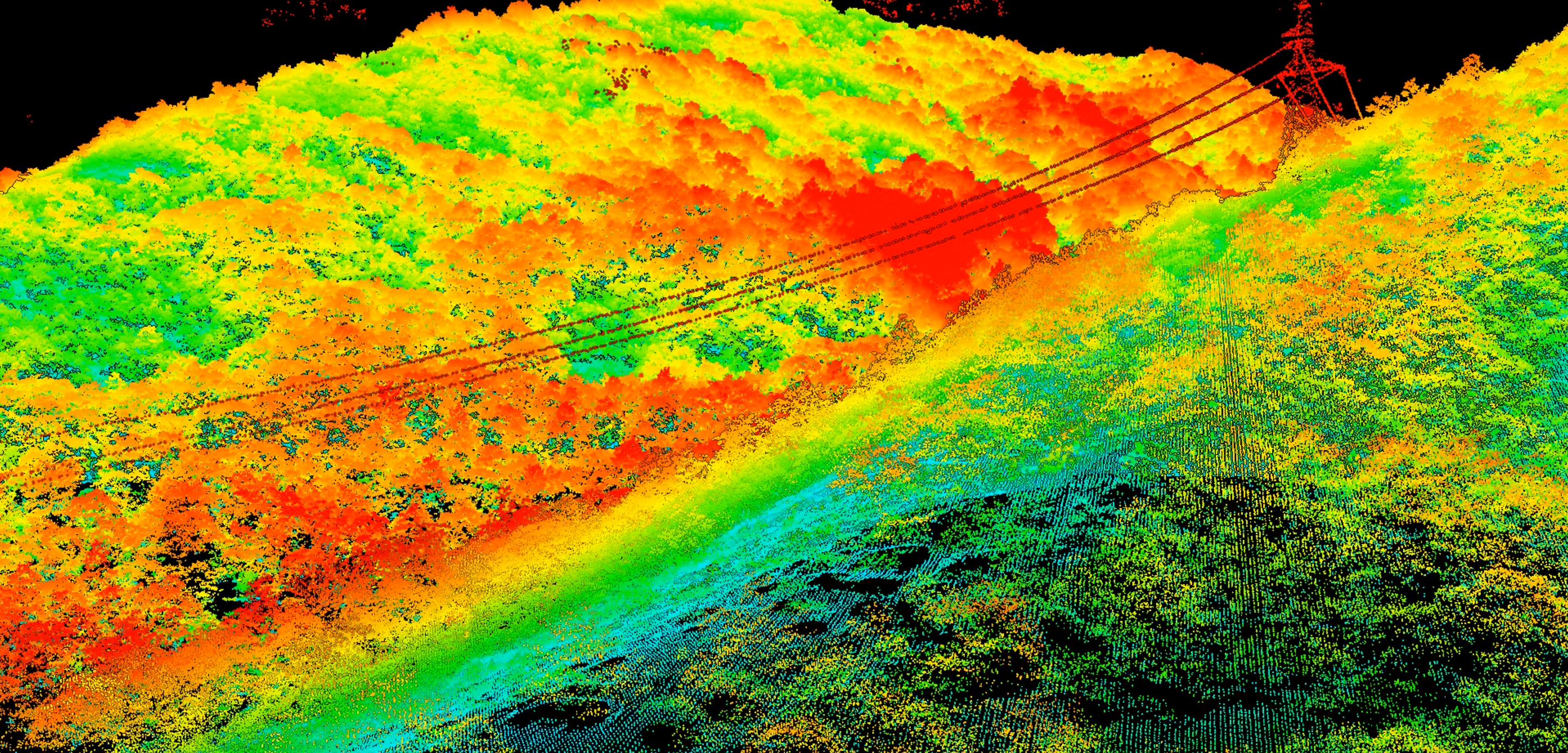
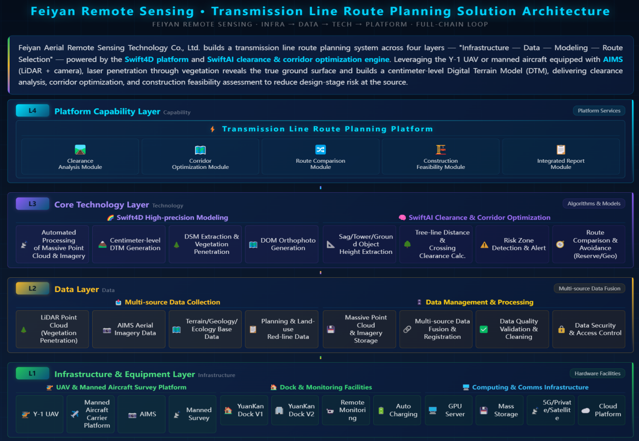
Feiyan offers LiDAR-based power line route planning via the Swift4D Platform. Using Y-1 UAVs or manned aircraft with LiDAR and AIMS, we penetrate vegetation to capture high-precision ground data and cm-level DTMs, enabling clearance analysis, corridor optimization, and feasibility studies to de-risk early design.
Our Differentiated Solution Framework
Built on Swift4D:
Multi-Platform LiDAR Survey: Y-1 (150-min endurance) or manned aircraft with AIMS (LiDAR+camera) cover 50-100 km per sortie. LiDAR penetrates canopy to acquire true ground, overcoming forest blind spots.
Swift4D High-Precision Modeling: Automated processing of point clouds and imagery generates cm-level DTMs, DSMs, and DOMs.
SwiftAI Clearance & Corridor Optimization: Extracts sag, tower locations, vegetation, and building heights in 3D; calculates clearances and identifies risks. Integrates terrain, geology, ecology, and planning data to optimize routes, avoiding reserves and poor geology.
Construction Feasibility: Assesses foundation difficulty and access; delivers reports with recommended routes, tower coordinates, earthwork estimates, and environmental impact.
Application Scenarios & Client Value
Application Scenarios
Route comparison and optimization for new lines
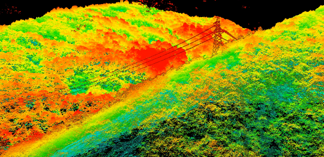
Rapid corridor resource investigation
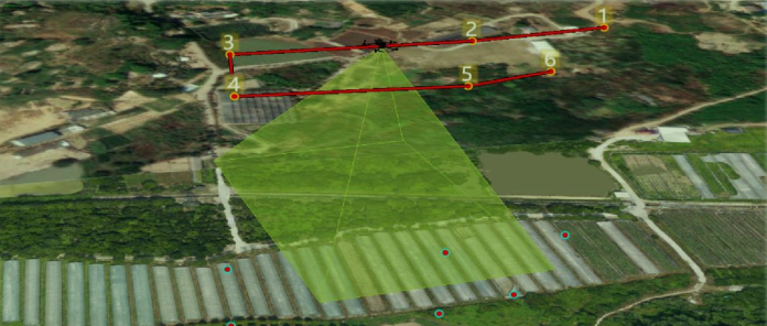
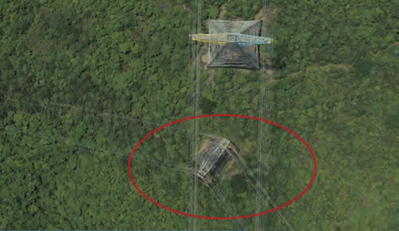
Clearance and cross-span safety checks

Tower siting and geological assessment
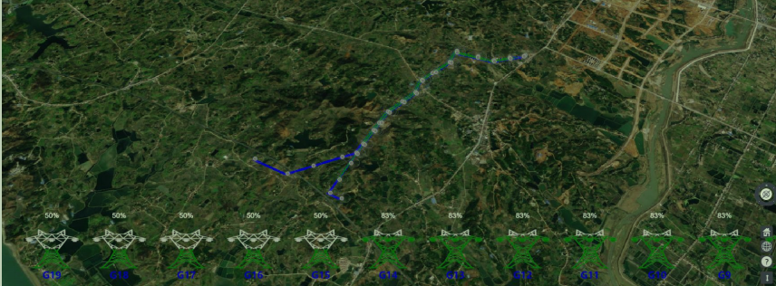
Line relocation and capacity expansion
Client Value
Informed Decisions: cm-level DTMs eliminate blind spots for scientific comparison.
Cost-Time Efficiency: Survey cycles reduced from months to weeks, minimizing field work.
Upfront Risk Mitigation: Early identification of clearance, geological, and ecological conflicts.
Green & Sustainable: Avoids sensitive areas and high-value forests.


