search
Feature Extraction
Feature Extraction uses an object-based approach to classify imagery, where an object (also called segment) is a group of pixels with similar spectral, spatial, and/or texture attributes. Traditional classification methods are pixel-based, meaning that spectral information in each pixel is used to classify imagery. With high-resolution panchromatic or multispectral imagery, an object-based method offers more flexibility in the types of features to extract.
Feature Extraction
In GIS (Geographic Information System) processing, feature extraction is the process of identifying and extracting specific geographic features or attributes from a dataset, such as buildings, roads, rivers, or land use types.
Feature extraction involves analyzing and processing spatial data to identify and isolate specific features of interest. This can be done through a variety of techniques, such as image analysis, object-based image analysis, or manual digitizing.
Once features are extracted, they can be further analyzed and used for a variety of applications, such as mapping, modeling, or spatial analysis. Feature extraction is an important step in GIS processing, as it enables users to effectively analyze and visualize spatial data in a meaningful way.
Workflow of Feature Extraction
The workflow of feature extraction involves the following steps:
ā Dividing an image into segments.
ā Computing various attributes for the segments.
ā Creating several new classes.
ā Interactively assigning segments (called training samples) to each class.
āClassifying the entire image with a K Nearest Neighbor (KNN), Support Vector Machine (SVM), or Principal Components Analysis (PCA) supervised classification method, based on your training samples.
ā Exporting the classes to a shapefile or classification image.
Feiyan Remote Sensing is a professional provider of feature extraction service. If you need help on extracting specific geographic features or attributes from a certain dataset, please contact us for further information of feature extraction.

 AIMS
AIMS AIMS-H Long Focus
 Farsightā¢ System
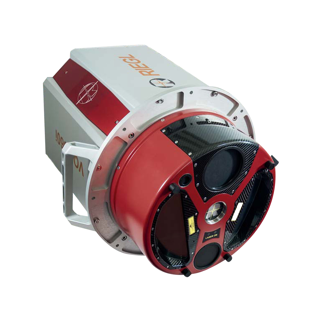
 Riegl VQ-1560i
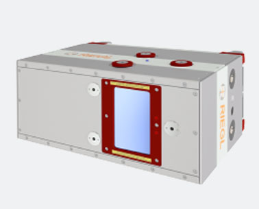 Riegl VQ-780II
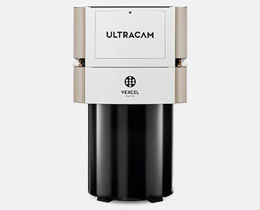 UltraCam Eagle M3
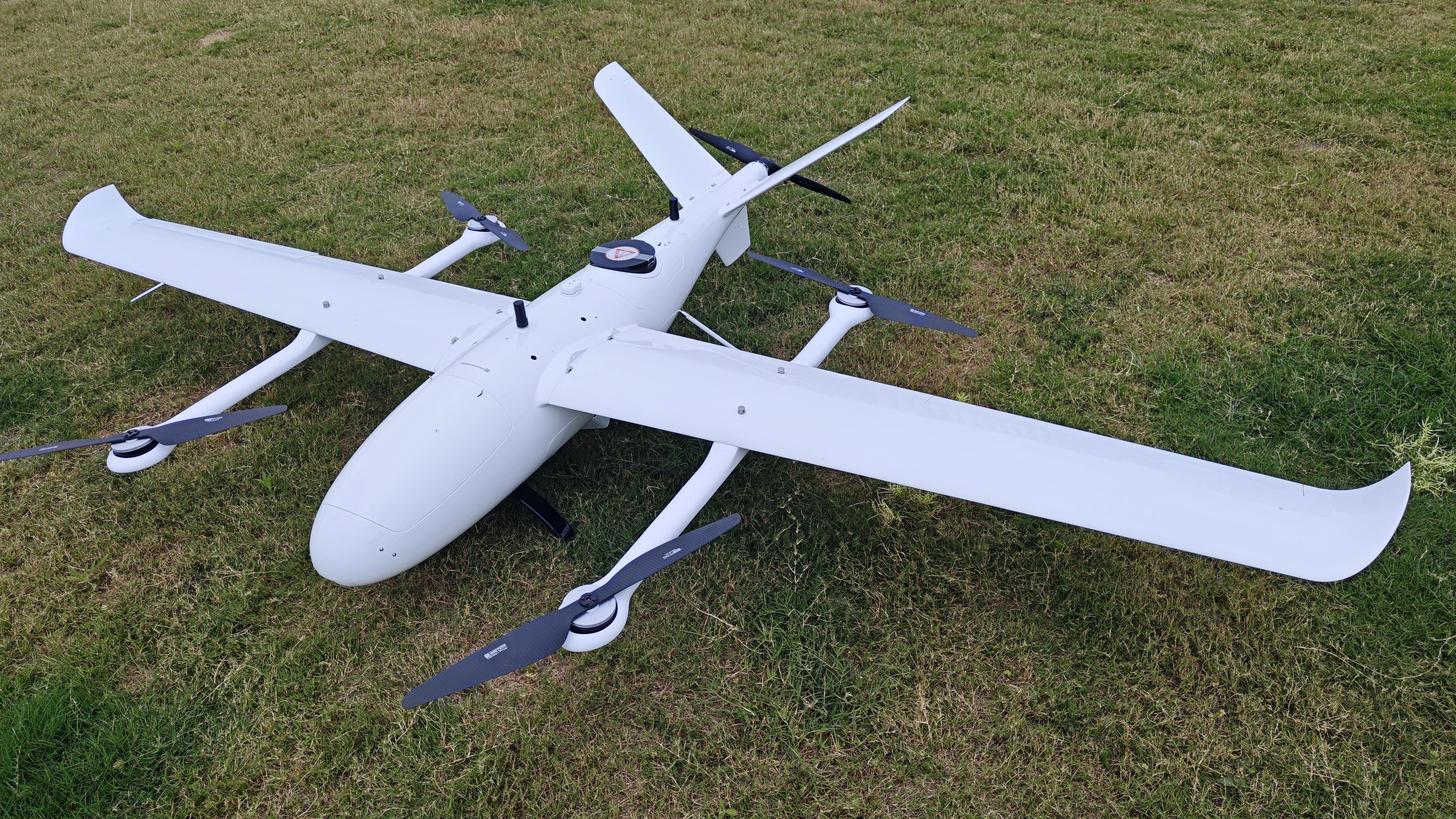
 Y-1 VTOL UAV
 Aerial Acquisition
 UAV Acquisition
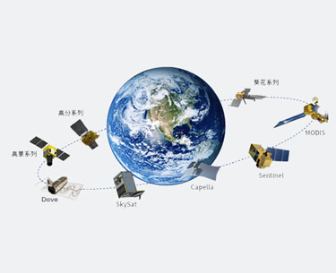 Satellite Acquisition
 Field Acquisition
 Integrated!
 LiDAR
LiDAR Orthophoto
 DEM
DEM DTM/DSM
 3D Mapping
 Topographic
 Infrared
 Feature Extraction
 BIM
BIM Transportation
 Water
Water power
power  Forestry
 Agriculture
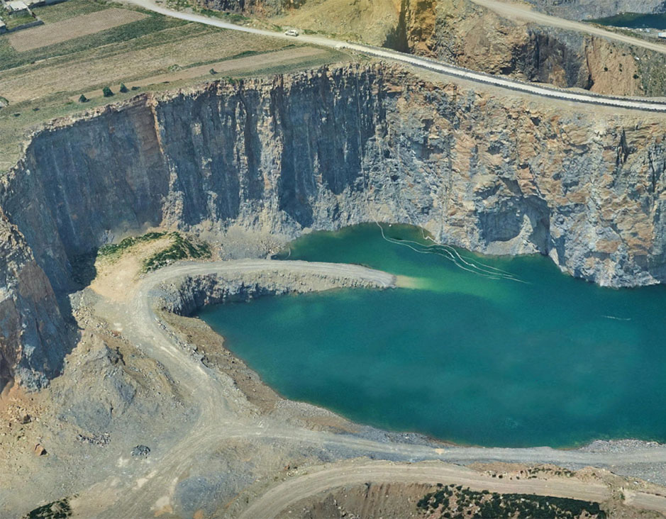 Mines & Quarries
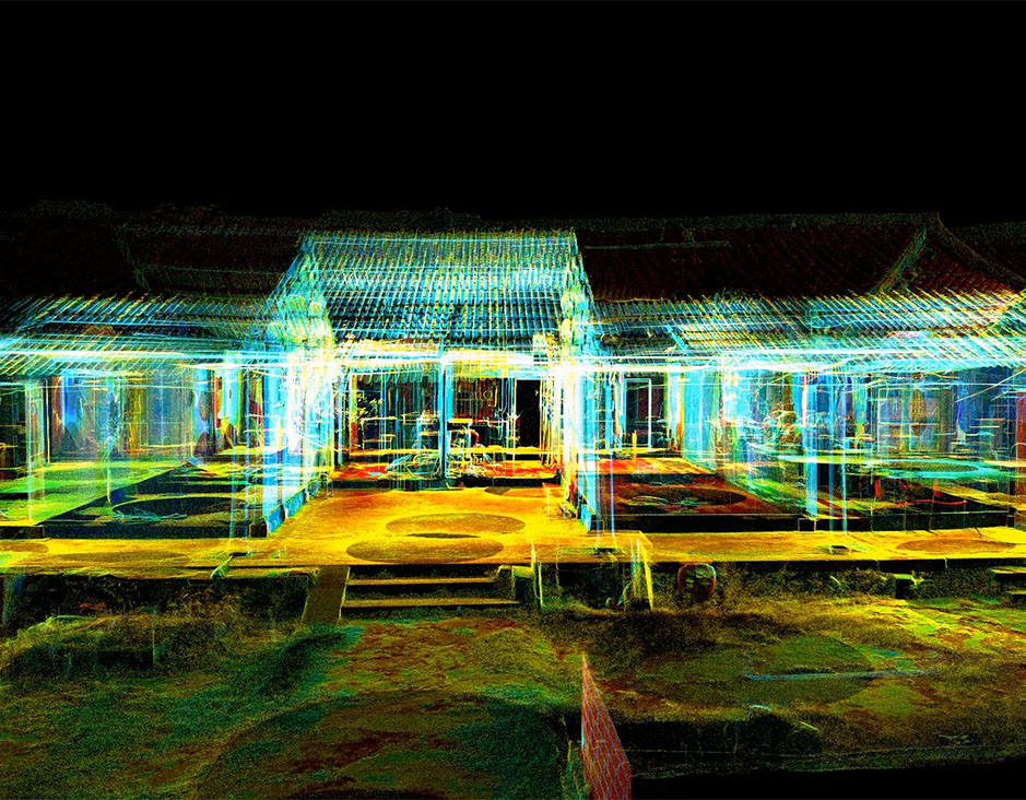 Heritage Buildings
 About feiyan
 Recognition
 Cases
Cases


