AIMS
AIMS AIMS-H Long Focus
 Farsightâą System
 Riegl VQ-1560i
 Riegl VQ-780II
 UltraCam Eagle M3
 Y-1 VTOL UAV
 Aerial Acquisition
 UAV Acquisition
 Satellite Acquisition
 Field Acquisition
 Integrated
 LiDAR
LiDAR Orthophoto
 DEM
DEM DTM/DSM
 3D Mapping
 Topographic
 Infrared
 Feature Extraction
 BIM
BIM Transportation
 Water
Water power
power  Forestry
 Agriculture
 Mines & Quarries
 Heritage Buildings
 About feiyan
 Recognition
 Cases
Cases

search


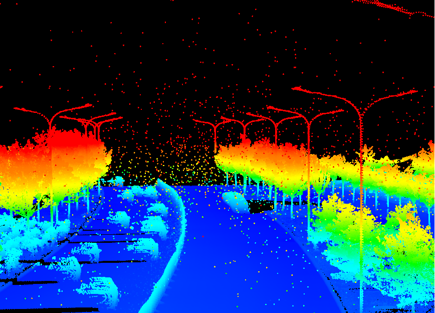
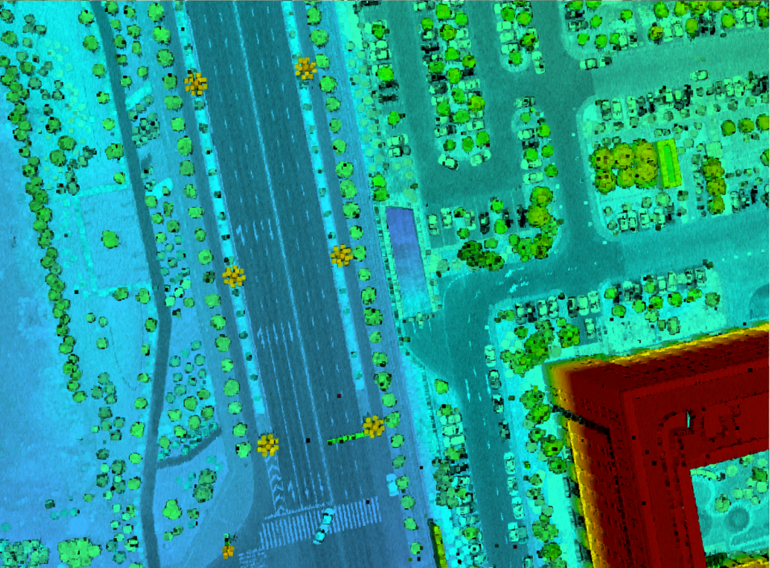
P3C (Point Cloud Cluster) & Classification
Mar 23, 2022
With further increases market demand by surveying and mapping industry, Feiyan Remote sensing's aerial equipment and technology are also continuously growing and upgrading.

We play our own advantages to create a "one-stop GIS application solution" for customers from data acquisition and processing to customized applications. We have strong technical strength and R&D team composed of many researchers with doctor's degree and master's degree. Through our efforts, we obtained the "High-tech Enterprise" certificate, more than 20 invention patents and 100 software copyrights. We also build a positive learning platform for the realization of the depth of high school cooperation.
Aiming at the problems of low classification accuracy (about 70%) of laser point cloud data processing software on the market, low post-processing improvement rate (about 10%) and high cost, we independently developed the point cloud processing software-P3C (Point Cloud Cluster) & Classification), which improves the accuracy of automatic point cloud classification by 17%. It not only enhances the quality of classification processing, but also greatly improves the efficiency of point cloud data processing, to successfully complete a large number of projects with tight schedules and heavy tasks.