AIMS
AIMS AIMS-H Long Focus
 Farsightâą System
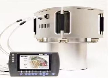
 Riegl VQ-1560i
 Riegl VQ-780II
 UltraCam Eagle M3
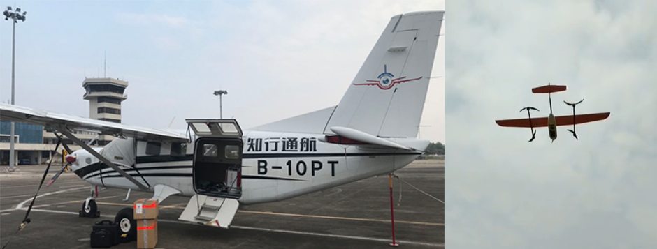
 Y-1 VTOL UAV
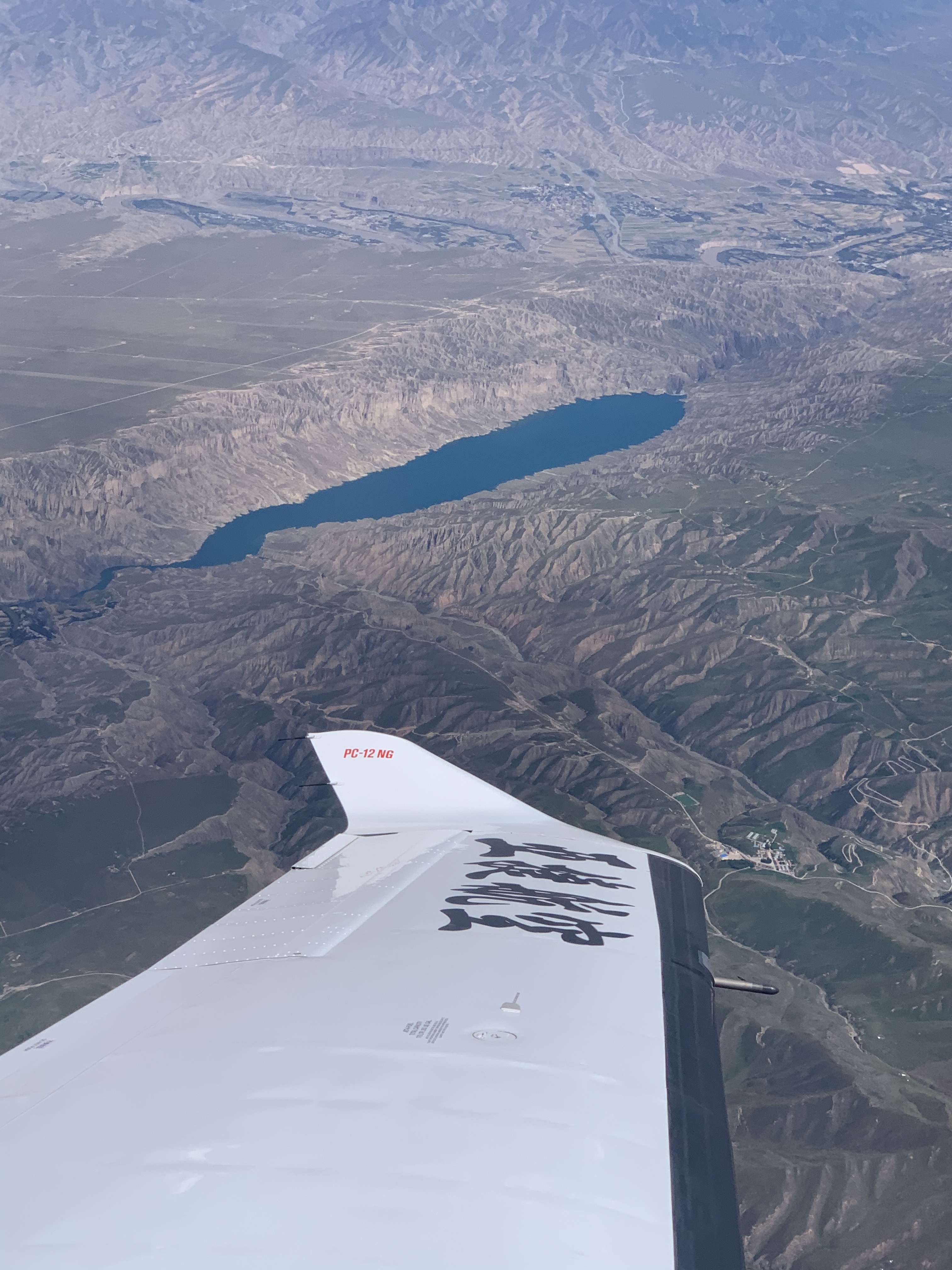
 Aerial Acquisition
 UAV Acquisition
 Satellite Acquisition
 Field Acquisition
 Integrated
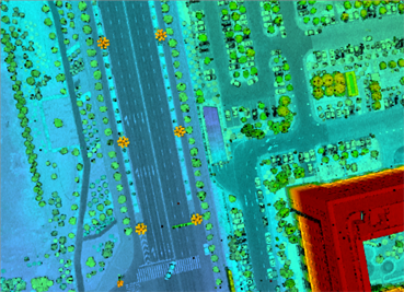
 LiDAR
LiDAR Orthophoto
 DEM
DEM DTM/DSM
 3D Mapping
 Topographic
 Infrared
 Feature Extraction
 BIM
BIM Transportation
 Water
Water power
power  Forestry
 Agriculture
 Mines & Quarries
 Heritage Buildings
 About feiyan
 Recognition
 Cases
Cases

search


Sources and Solutions of Errors in UAV Aerial Photography Technology
Jun 13, 2023
UAV aerial photography and surveying have advantages that other surveying technologies cannot replace in surveying and mapping large-scale topographic maps, and the image of high efficiency and convenience has been deeply rooted in the hearts of the people. However, errors will also occur in the process of aerial photography and measurement. After research and summary, the specific errors and solutions are analyzed as follows:
1. Instrument error
Due to the limited size and weight of the drone itself, it can only be equipped with ordinary CCD cameras. However, the azimuth element in the ordinary CCD camera is unstable, which has a great influence on the accuracy of the measurement results. Therefore, when the UAV performs large-scale aerial photography and measurement, it is necessary to calibrate the camera, that is, to determine the internal orientation elements of the camera, so as to reduce the error caused by the instrument.
2. Human error
Human error refers to the error caused by the limitation of human sensory identification ability, technical level and seriousness of work attitude, mainly including the error caused by the recognition of image control points or the human error caused by aeronautical triangulation and office data processing. Such human errors can be alleviated by improving the technical level of surveyors and taking reward and punishment incentives.


-
 Mar 22, 2022
Why Can't Aerial Photography Be Taken on Many Sunny Days?
This question cannot be asked like that. Aerial photography must be sunny, but the altitude angle of the sun must be considered. More > -
Mar 22, 2022
Advantages and Disadvantages of Large Aircraft Aerial Photography and Drone Aerial Photography
Large aircraft Aerial photography has a large area, high Aerial photography efficiency and good image quality. Aerial photography is usually used for Aerial photography. More > -
May 11, 2023
UAV Tilt Aerial Photography
âAerial photography is to take aerial photography of the target by manned or unmanned aerial vehicles, and convert these aerial images into data. More > -
Jun 08, 2023
In What Fields Can the Aims Multi-modal Aerial Camera Be Applied?
Based on the Aviation Integrated Multi-Sensor (AIMS) independently developed by Feiyan Aviation Remote Sensing Technology Co., Ltd., it can produce conventional 4D products and real-world 3D models. More > -
Jun 12, 2023
What Are the Advantages of Digital Aerial Photogrammetry System?
âWith the continuous development of digital technology, aerial remote sensing data acquisition has entered the all-digital era. More >