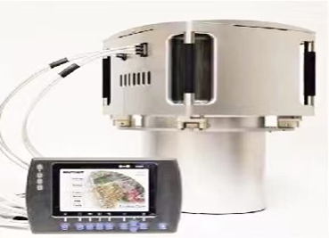
AIMS
AIMS AIMS-H Long Focus
 Farsightâą System
 Riegl VQ-1560i
 Riegl VQ-780II
 UltraCam Eagle M3
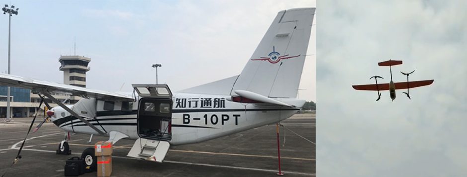
 Y-1 VTOL UAV
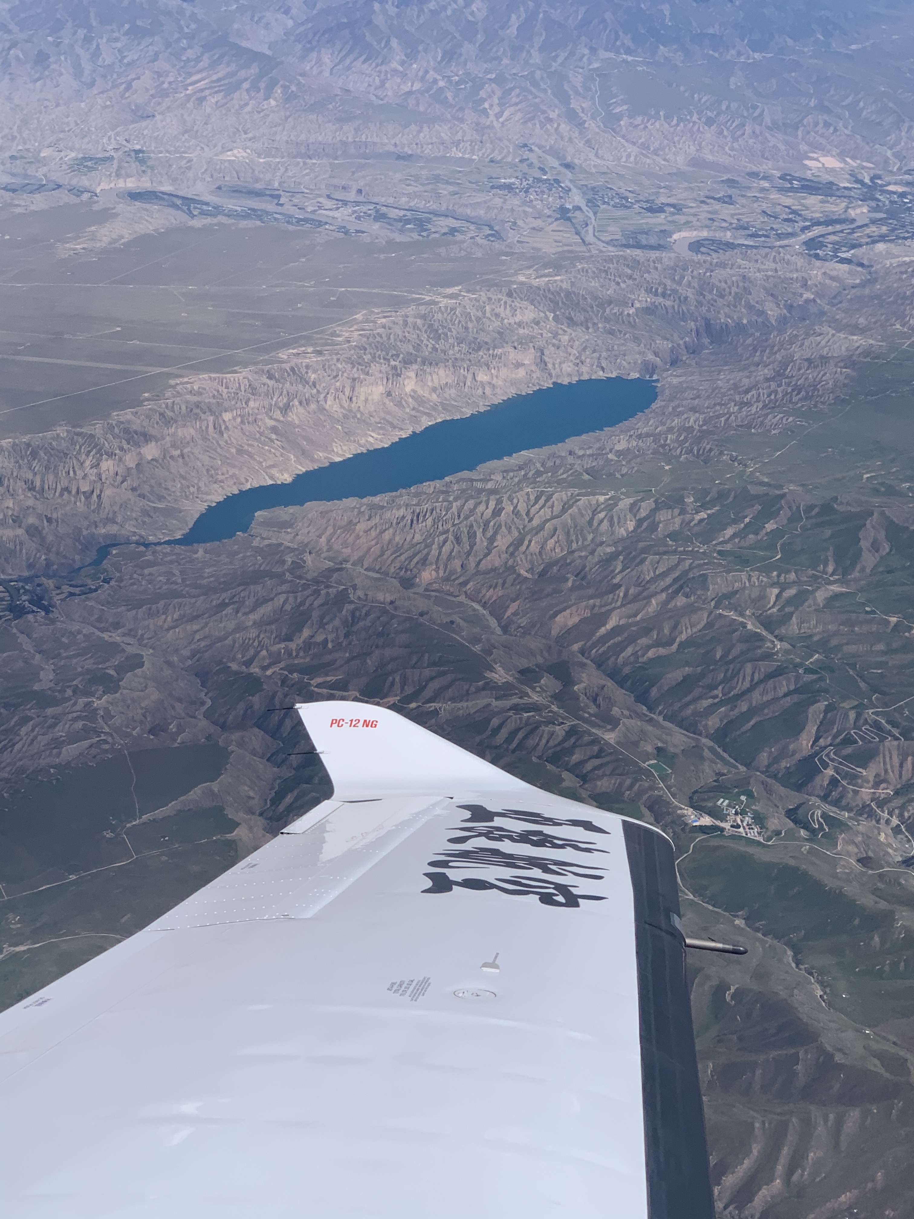
 Aerial Acquisition
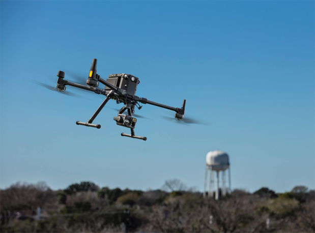
 UAV Acquisition
 Satellite Acquisition
 Field Acquisition
 Integrated
 LiDAR
LiDAR Orthophoto
 DEM
DEM DTM/DSM
 3D Mapping
 Topographic
 Infrared
 Feature Extraction
 BIM
BIM Transportation
 Water
Water power
power  Forestry
 Agriculture
 Mines & Quarries
 Heritage Buildings
 About feiyan
 Recognition
 Cases
Cases

search


In What Fields Can the Aims Multi-modal Aerial Camera Be Applied?
Jun 08, 2023
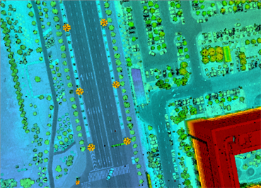
Based on the Aviation Integrated Multi-Sensor (AIMS) independently developed by Feiyan Aviation Remote Sensing Technology Co., Ltd., it can produce conventional 4D products and real-world 3D models. Combined with the penetration of active detection of lidar, the three-dimensional geographic coordinates and the cube characteristics of hyperspectral images can be obtained directly, and the data can be finely classified. It can automatically distinguish the real surface, water system, forest, building, road and other information, so as to express and analyze the 3D reality scene more finely.
3D terrain mapping
After the vegetation is removed, the real surface conditions that cannot be accurately detected by conventional means can be seen to form a digital elevation model (DEM). Through the algorithm, the terrain can be expressed in vector form, the vector data can be seamlessly combined with the 3D terrain, and the building can also realize automatic model building. These products are all based on the same data source, so there will be no conflict in the relationship between different types of data. This is also the biggest advantage that the AIMS aerial camera, as an integrated device, can obtain synchronously.
Urban Unit Modeling
The data obtained from the point cloud in the lidar aerial photography can be used to automatically classify the point cloud of the information on buildings, vegetation, ground surfaces and roads, and the classification results can form a three-dimensional building single white model. After pasting the surface color and texture, the final three-dimensional single building product is formed, which is used as a base map in smart cities, smart parks and other fields.

Forestry census
Hyperspectral aerial photography can be used to assist forest resource management. The height and crown width of trees are calculated by laser point cloud, and the growth of trees is monitored and widely used in forest resource surveys; by filtering out the influence of terrain, it is possible to judge artificial forests, economic forests, and natural forests based on the height and distribution of vegetation The difference between forests, so as to count the conventional two-dimensional greening rate, and even count the three-dimensional three-dimensional green quantity.
Geological disasters
Based on the real surface and real 3D results, it can be effectively used for disaster prevention and mitigation, especially for detecting road slopes, monitoring slope changes, etc., and ultimately preventing natural disasters.
precision agriculture
Hyperspectral aerial photography data can be used to detect soil fertility, diseases and insect pests, etc.; combined with lidar data, crop height and density can be extracted for further analysis and judgment.
Hyperspectral aerial photography data has an efficient application value for the monitoring of algal blooms, black and odorous water bodies, sewage outlets, and traceability of pollutants.


-
 Mar 22, 2022
Why Can't Aerial Photography Be Taken on Many Sunny Days?
This question cannot be asked like that. Aerial photography must be sunny, but the altitude angle of the sun must be considered. More > -
Mar 22, 2022
Advantages and Disadvantages of Large Aircraft Aerial Photography and Drone Aerial Photography
Large aircraft Aerial photography has a large area, high Aerial photography efficiency and good image quality. Aerial photography is usually used for Aerial photography. More > -
May 11, 2023
UAV Tilt Aerial Photography
âAerial photography is to take aerial photography of the target by manned or unmanned aerial vehicles, and convert these aerial images into data. More > -
Jun 12, 2023
What Are the Advantages of Digital Aerial Photogrammetry System?
âWith the continuous development of digital technology, aerial remote sensing data acquisition has entered the all-digital era. More > -
Jun 13, 2023
Sources and Solutions of Errors in UAV Aerial Photography Technology
UAV aerial photography and surveying have advantages that other surveying technologies cannot replace in surveying and mapping large-scale topographic maps More >