 AIMS
AIMS AIMS-H Long Focus
 Farsightв„ў System
 Riegl VQ-1560i
 Riegl VQ-780II
 UltraCam Eagle M3
 Y-1 VTOL UAV
 Aerial Acquisition
 UAV Acquisition
 Satellite Acquisition
 Field Acquisition
 Integrated
 LiDAR
LiDAR Orthophoto
 DEM
DEM DTM/DSM
 3D Mapping
 Topographic
 Infrared
 Feature Extraction
 BIM
BIM Transportation
 Water
Water power
power  Forestry
 Agriculture
 Mines & Quarries
 Heritage Buildings
 About feiyan
 Recognition
 Cases
Cases

search


Solution

Precision Soil & Field Analysis
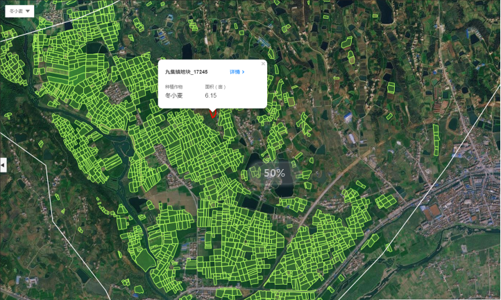
Feiyan delivers high-resolution precision soil mapping and micro-terrain analysis using our Y-1 UAV System and AIMS Multi-Modal Aerial Survey System. This capability supports soil property analysis, drainage design, and rapid post-disaster assessment, providing field-level insights to maximize productivity and sustainability.
Our Differentiated Solution Framework
Built on the Swift4D Platform, our framework integrates high-precision acquisition, intelligent interpretation, and field-level decision-making:
Multi-Modal Acquisition: Y-1 UAVs with hyperspectral and thermal sensors capture soil spectral signatures; AIMS integrates LiDAR and oblique cameras to generate high-resolution digital terrain models capturing micro-topography.
Swift4D Soil Property Inversion: Fusing multi-spectral, hyperspectral, and radar data to model key soil indicatorsвҖ”organic matter, moisture, pH, salinityвҖ”generating cm-scale field prescription maps.
SwiftAI Micro-Terrain & Drainage Analysis: Automatically extracts slope, catchment zones, and ditch networks, identifying waterlogging risk areas to optimize drainage and tillage direction.
Rapid Post-Disaster Assessment: Rapidly generates inundation extent, soil moisture change, and erosion severity maps for flood/drought events, supporting insurance claims and recovery planning.

Application Scenarios & Client Value
Application Scenarios
Precision Agriculture & Variable Rate Application: Optimize fertilizer and irrigation based on soil nutrient distribution maps.


Field Drainage System Design: Identify waterlogged zones and flow paths to guide subsurface tile placement.

Soil Degradation Monitoring: Track trends in salinization, compaction, and organic matter loss.
Post-Disaster Crop Loss Assessment: Rapidly estimate affected areas and soil damage severity.

Client Value
Yield Increase & Cost Reduction: Precision inputs minimize waste, boosting crop yield and resource efficiency.

Scientific Drainage: Optimizes field hydrology, reducing waterlogging risks.
Rapid Disaster Response: Hour-level assessment accelerates insurance claims and recovery decisions.
Sustainable Management: Long-term monitoring supports soil health conservation and carbon accounting.


