AIMS
AIMS AIMS-H Long Focus
 Farsightâą System
 Riegl VQ-1560i
 Riegl VQ-780II
 UltraCam Eagle M3
 Y-1 VTOL UAV
 Aerial Acquisition
 UAV Acquisition
 Satellite Acquisition
 Field Acquisition
 Integrated
 LiDAR
LiDAR Orthophoto
 DEM
DEM DTM/DSM
 3D Mapping
 Topographic
 Infrared
 Feature Extraction
 BIM
BIM Transportation
 Water
Water power
power  Forestry
 Agriculture
 Mines & Quarries
 Heritage Buildings
 About feiyan
 Recognition
 Cases
Cases

search


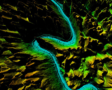
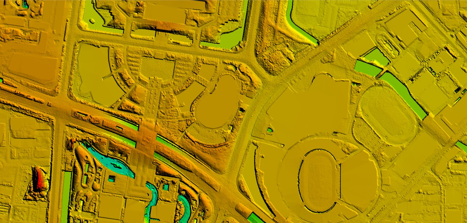
Application of Digital Elevation Model (DEM) in Natural Resources Field
Apr 10, 2023
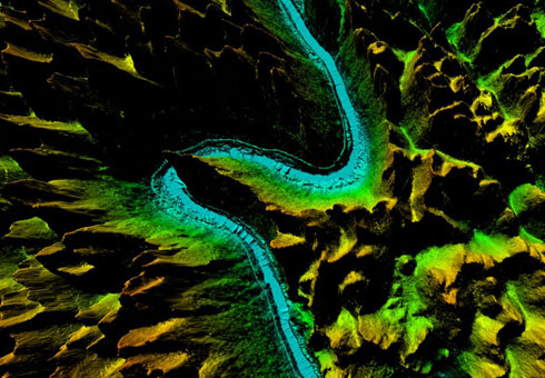
1. Flood and erosion modeling: DEM can be used to model and predict the potential impact of flooding or erosion on geographic areas.
2. Environmental analysis: DEM can be used to study the impact of environmental factors such as temperature and precipitation on regional topography.
3. Forest management: DEM can be used to aid in forest management, such as identifying tree planting areas or monitoring forest health.
4. Farming and agriculture: DEM can be used to assist in farming and agricultural activities such as identifying suitable locations for growing crops or monitoring the health of crops.
5. Disaster Response: DEM can be used to plan and coordinate disaster response efforts, such as determining evacuation routes or providing responders with information about terrain.
6. Land management: DEM can be used to aid in land management, such as identifying protected areas or monitoring the health of natural habitats.
7. Wildlife management: DEM can be used to assist in wildlife management, such as identifying suitable habitat for a particular species or monitoring the movement of wild animals.


-
 Jul 30, 2021
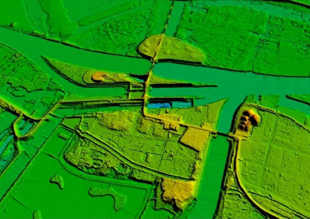
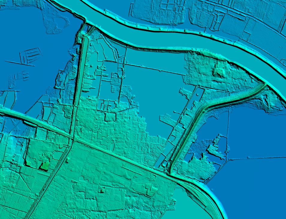
The DEM (1:1000) 12000kmÂČ of the entire watershed area was obtained and processed within 40 days.
Torrential rains have battered Zhengzhou and its surrounding area during the last ten days, displacing hundreds of thousands of people and causing 1.22 billion yuan of economic damage, Henan authorities said Thursday. More > -
Mar 22, 2022
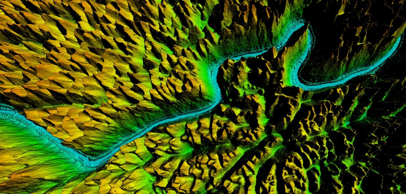
Guangxi Forestry Bureau's DEM
After collecting the data, the processing of the point cloud data will be done to obtain the desired outputs. In this process, filtering and classification algorithms will be used to remove noise from the data to obtain a clean point cloud. More > -
Sep 26, 2022
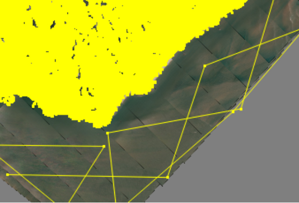
DEM Editing In DOM Aerial Triangulation
DEM editing is an indispensable part of producing orthophotos(DOM). More > -
Apr 07, 2023
What is Digital Elevation ModelïŒDEMïŒïŒ
A digital elevation model (DEM) is a digital representation of the topography of a geographic area. More > -
Apr 11, 2023
Application of Digital Elevation Model (DEM) in Multiple Fields
âDigital elevation model is an important type of geographic data used to represent the topography of a geographic area in a numerical format. More > -
Apr 20, 2023
What is Digital Elevation Model(DEM)
The Digital Elevation Model is a bare earth raster grid referenced to a vertical datum, and when non-ground points such as bridges and roads are filtered out, a smooth digital elevation model is obtained. More > -
Apr 26, 2023
What is 4D?
4D technology: Digital Elevation Model (DEM), Digital Orthophoto (DOM), Digital Line Drawing (DLG) and Digital Raster Map (DRG). More > -
Jul 04, 2023
What are the uses of Digital Elevation Model
Digital Elevation Model is a data set of plane coordinates (X, Y) and elevation (Z) of regular grid points within a certain range. It mainly describes the spatial distribution of regional geomorphology, and uses contour lines or similar three-dimensional models for data collection. Acquisition (including sampling and measurement), followed by data interpolation. More > -
Jun 30, 2023
How to build DEM
There are many DEM interpolation methods, mainly including overall interpolation, block interpolation and point-by-point interpolation: More >