AIMS
AIMS AIMS-H Long Focus
 Farsightâą System
 Riegl VQ-1560i
 Riegl VQ-780II
 UltraCam Eagle M3
 Y-1 VTOL UAV
 Aerial Acquisition
 UAV Acquisition
 Satellite Acquisition
 Field Acquisition
 Integrated
 LiDAR
LiDAR Orthophoto
 DEM
DEM DTM/DSM
 3D Mapping
 Topographic
 Infrared
 Feature Extraction
 BIM
BIM Transportation
 Water
Water power
power  Forestry
 Agriculture
 Mines & Quarries
 Heritage Buildings
 About feiyan
 Recognition
 Cases
Cases

search


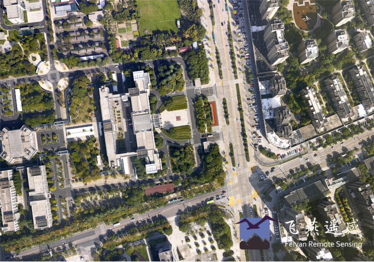
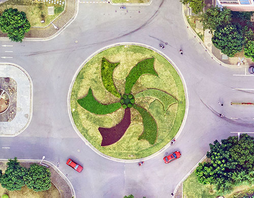
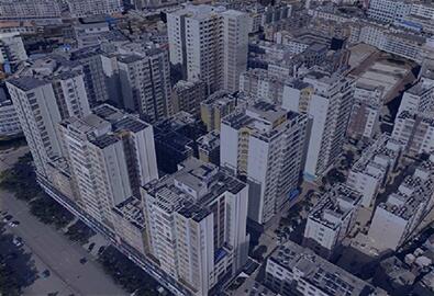
How to build a 3D model through post-processing measurement
Aug 16, 2023
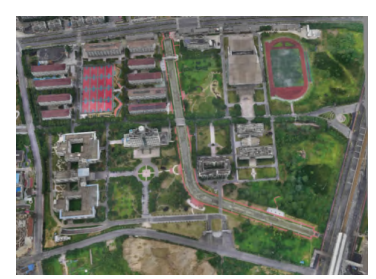
Image control post-processing to build a high-precision 3D reality model is an image control post-processing mode that collects the coordinates of image control points through the existing high-precision 3D reality model, referred to as post-processing modeling mode, that is, if all or part of the high-precision 3D reality model has been built, At this time, points with significant marks, easy recognition in existing 3D reality models, and scientific and reasonable positions can be selected as image control points on the non-image control model, and the coordinate information of these points can be collected from the existing high-precision 3D reality model.
In the conventional layout method, the geographical position of the point is determined by laying a marking square or drawing a point mark, and then using a high-precision measuring instrument to collect the coordinate information of the image control point.
The post-processing measurement method combined with the actual geographical location of the distribution of the features, such as the center line of the road, the dividing line of the tile style and the ground indication mark, and other features with obvious geometric characteristics, were selected from the image-free model. Based on the image-free control model, the position and geometric information of pre-selected feature points can be clearly seen, without the need to carry out field point reconnaissance work. On the one hand, image control points can be scientifically laid and accurately determined; on the other hand, image control point marks do not need to be made and buried, which can effectively save costs and improve efficiency. After the control point is selected, the point coordinates of the feature points are collected by the high-precision measuring instrument.

The post-processing model measurement method selects the same position and number of ground object feature points as the image control points as the post-processing measurement method. The difference is that this method collects the coordinate information of image control points from the existing high-precision 3D reality model, without field measurement, and reduces the workload and cost in updating the local change area of the 3D reality model such as cities and towns. The efficiency of aerial survey modeling is improved.
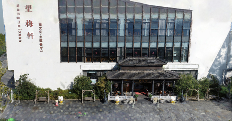
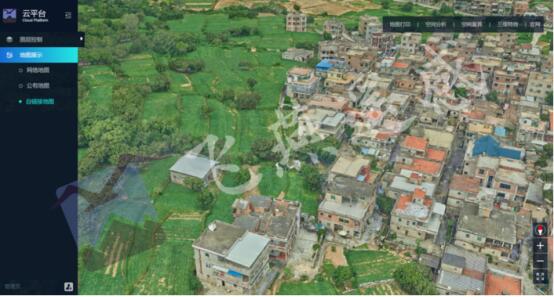
The texture of the 3D real scene model after image control is realistic and clear, and the appearance is consistent with that of the conventional tape control model.


-
 Sep 08, 2022
China construction of 3D real scene will amount to something in the future
In February 2022, the Ministry of natural resources issued the notice on comprehensively promoting China construction of 3D real scene, requiring that by 2025, more than 50% of government decisions, production scheduling and life planning can be completed through online 3D real scene space, and by 2035, this goal will be increased to 80%. More > -
Oct 26, 2022
How to build 3D Models for The Oblique Photography with Ground Reshot
Due to the limitations of flight height and angle of oblique photography, problems such as voids, adhesions, deformations and texture blurring will occur at specific angles of buildings when modeling 3D real scene. More > -
Apr 03, 2023
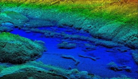
Application of Airborne LiDAR in Mapping
LiDAR has lower requirements for computer performance. With the same survey area, the total amount of data acquired by LiDAR is smaller and the data processing speed is faster. More > -
Apr 06, 2023
City-level Real Scene 3D Monolithic Model
In recent years, due to the maturity of surveying and mapping technology and the government's emphasis on 3D, oblique photography has become an important technology in the rapid growth of geographic information industry. More > -
Apr 27, 2023
What Is Real Scene 3D?
Real-world 3Dâ is a 3D model that objectively and truly reflects the real world. It has the characteristics of individualization, materialization, structure, and semantics. More > -
May 16, 2023
Application of Oblique Photogrammetry in Traditional Cadastral Survey
The main application of oblique photogrammetry in traditional cadastral surveying is data acquisition and data processing of cadastral surveying data information. More > -
May 18, 2023
Steps for making real-world 3D models
The real scene 3D constructs the real scene 3D model through oblique photography, and puts the real scene 3D model into the GIS platform for application. More > -
May 20, 2023
What Can Point Cloud Data Be Used For?
This article summarizes the five application directions of point cloud data, hope it can bring you help. More > -
May 23, 2023
Connotation of Real Scene 3D Data
The three-dimensional world is different from the two-dimensional world: the two-dimensional world is a flat world with only length and width, while the three-dimensional world is a three-dimensional world with length, width and height, which is also the space in which we humans live. More >