AIMS
AIMS AIMS-H Long Focus
 Farsightâą System
 Riegl VQ-1560i
 Riegl VQ-780II
 UltraCam Eagle M3
 Y-1 VTOL UAV
 Aerial Acquisition
 UAV Acquisition
 Satellite Acquisition
 Field Acquisition
 Integrated
 LiDAR
LiDAR Orthophoto
 DEM
DEM DTM/DSM
 3D Mapping
 Topographic
 Infrared
 Feature Extraction
 BIM
BIM Transportation
 Water
Water power
power  Forestry
 Agriculture
 Mines & Quarries
 Heritage Buildings
 About feiyan
 Recognition
 Cases
Cases

search


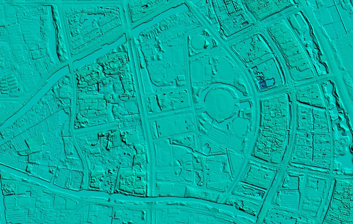
The process of satellite image data processing
Aug 21, 2023
Data acquisition and preprocessing: Raw data acquired from satellites may require preprocessing, including radiometric calibration, geometric correction, etc., to ensure the quality and accuracy of the data.
Image stitching and fusion: The image of different satellites or different points in time is spliced and fused to obtain a larger range or higher resolution data.

Feature extraction and classification: Remote sensing image processing software is used to extract and classify images to identify different features and objects on the surface, such as buildings, water bodies, vegetation, etc.
Terrain modeling and elevation extraction: from stereo, optical or SAR data, terrain modeling and elevation extraction are performed to generate a digital elevation model (DEM) or digital surface model (DSM).
Data fusion and analysis: multi-source data will be fused, combined with GIS technology, surface analysis, change detection, environmental monitoring and other applications.


-
 Jun 20, 2023
Analysis of the Advantages of UAV Aerial Photogrammetry
In recent years, the use of UAVs for aerial photography has gradually increased. UAVs play an irreplaceable role in aerial photography due to their convenience and flexibility. There are four main advantages: More > -
Jun 25, 2023
What are the characteristics of aerial photogrammetry technology?
Aerial photogrammetry technology includes a variety of leading science and technology, and has shown many advantages in practice, focusing on small size, rapid response, good accuracy, and low flight conditions. Compared with the traditional topographic surveying technology, the application of aerial photogrammetry technology to achieve topographic surveying and mapping accurately, effectively and quickly is also an important technical method for the design of topographic surveying and mapping technology for water conservancy projects. More > -
Jun 27, 2023
What are the applications of UAV aerial photogrammetry in terrain mapping?
In order to adapt to the current form of national basic surveying and mapping work, UAV aerial photogrammetry technology has been widely valued by people. UAV aerial photogrammetry makes up for the shortcomings of traditional surveying and mapping technology, and plays a huge role in the current stage of topographic mapping. More > -
Jul 07, 2023
The difference between DEM(Digital Elevation Model), DSM(Digital Surface Model) and DTM(Digital Terrain Modelâ)
DEM DEM, Digital Elevation Model, is a 3D computer graphic representation of elevation data. DSM DSM, Digital Surface Model, represents the earth's surface and includes all objects on it, generally used in landscape modeling, urban modeling and visualization applications. DTM DTM, Digital Terrain Modelâ, represents bare ground without any objects such as plants and buildings, and is often used for flood or drainage modeling, land use studies, geological applications, and other applications. More > -
Jul 10, 2023
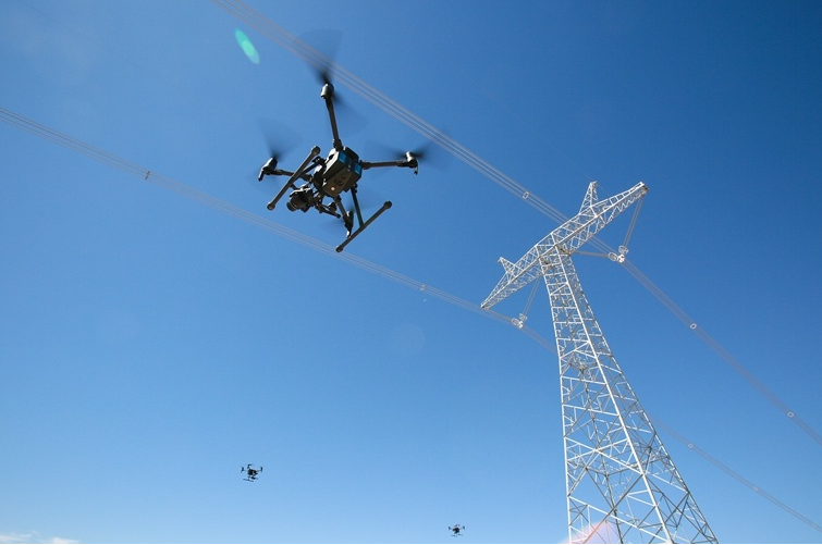
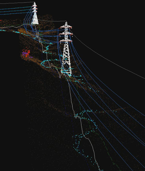
Application of Airborne LiDAR Technology in Power Optimal Line Selection
First of all, it is necessary to analyze the map and image data, and select the appropriate transmission line path according to the actual situation to facilitate the subsequent construction of overhead transmission lines. Secondly, after the initial path selection is completed, it is necessary to use airborne lidar technology for measurement according to the selection results. The measurement process must ensure comprehensiveness, scientific processing through advanced technology, and field research using technical functions. Finally, the laser radar is used to integrate the data, and the results are fused with each other. The staff optimizes the circuit through the circuit design software and outputs the final result. More > -
Aug 04, 2023
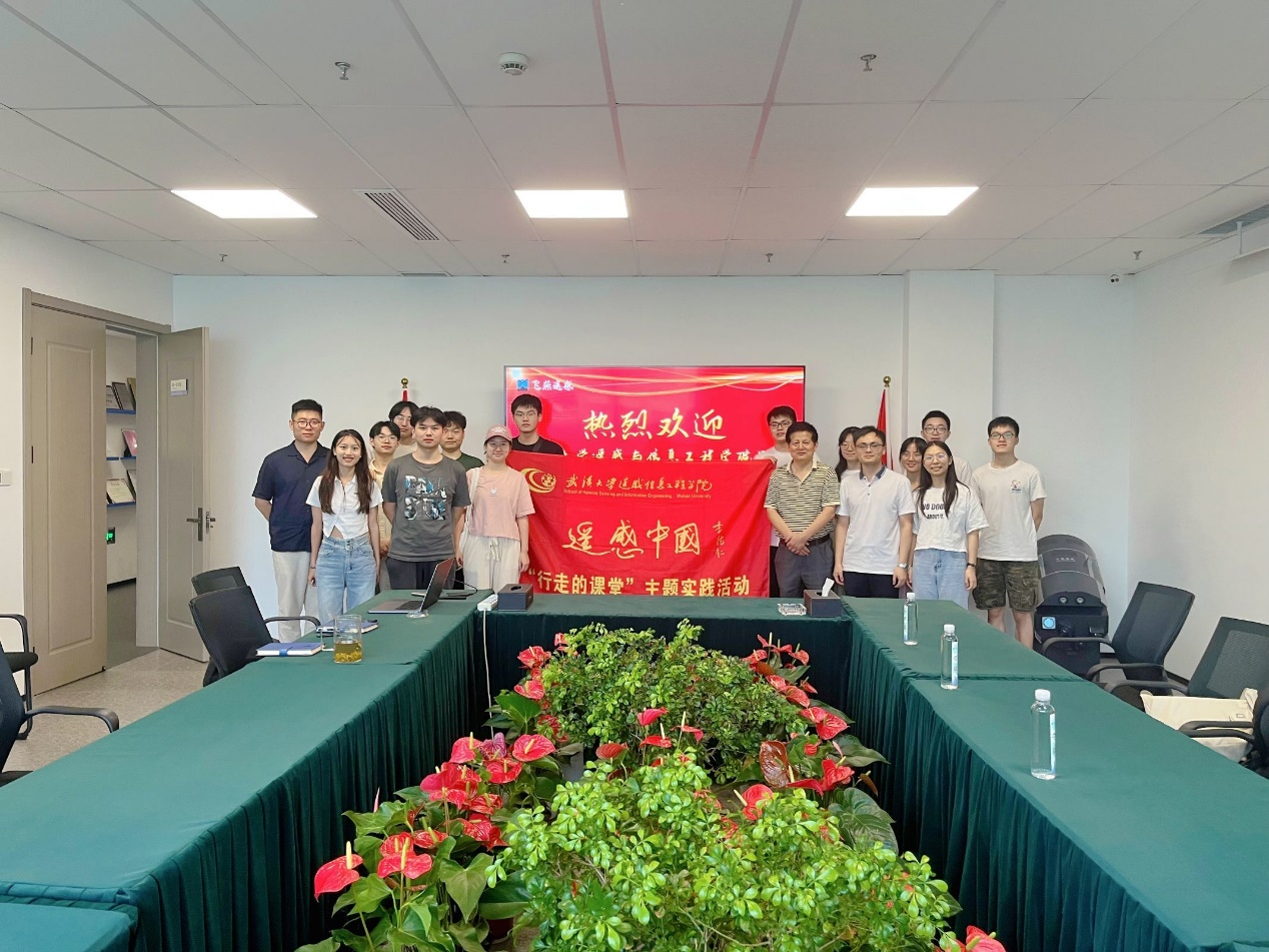
The practice team of the School of Remote Sensing Information Engineering of Wuhan University visited our company
More > -
Aug 18, 2023
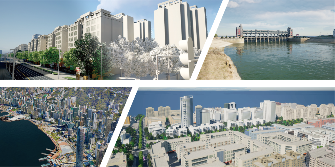
Advantages of Feiyan remote sensing data processing
More > -
Aug 22, 2023
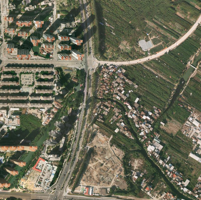
Edge data processing of orthophoto
More > -
Aug 29, 2023
DEM data processing
More >