AIMS
AIMS AIMS-H Long Focus
 FarsightБ└╒ System
 Riegl VQ-1560i
 Riegl VQ-780II
 UltraCam Eagle M3
 Y-1 VTOL UAV
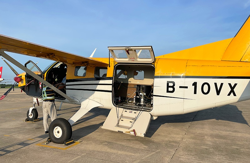
 Aerial Acquisition
 UAV Acquisition
 Satellite Acquisition
 Field Acquisition
 Integrated
 LiDAR
LiDAR Orthophoto
 DEM
DEM DTM/DSM
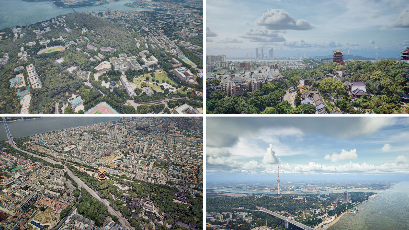
 3D Mapping
 Topographic
 Infrared
 Feature Extraction
 BIM
BIM Transportation
 Water
Water power
power  Forestry
 Agriculture
 Mines & Quarries
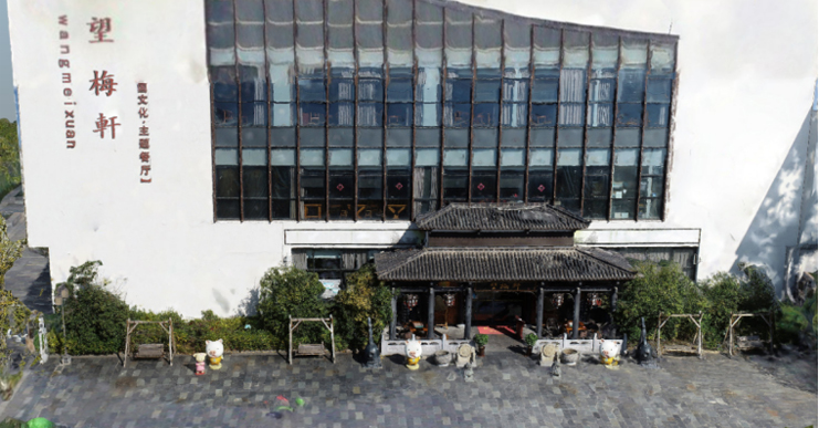
 Heritage Buildings
 About feiyan
 Recognition
 Cases
Cases

search

Enter search content


News
 HomeЦ──>Ц──NewsЦ──


all news
-
 Jan 10, 2023
What is Satellite Acquisition?
Satellite acquisition refers to the process of finding and locking onto a satellite signal for the purpose of receiving and transmitting data. More > -
Dec 06, 2022
The Flow of Data Processing
In the process of 3D model data processing and production, it is mainly divided into two parts: point cloud data processing and oblique image data processing. More > -
Dec 01, 2022
How to Perform Spatial Analysis
Spatial analysis, which solves complex location-oriented problems, allows you to explore and understand your data from a geographic perspective, identify relationships, detect and quantify patterns, evaluate trends, and make predictions and decisions. More > -
Nov 24, 2022
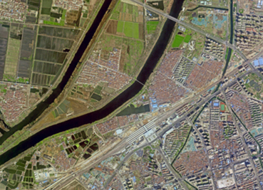
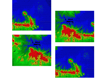
We are Geospatial Data Processing Service Providers
As a GIS data analysis service provider, Feiyan Remote Sensing has carried out aerial photography tasks in Quanjiao and Langxi counties of Anhui Province, and formed DEM and DSM through data processing. More > -
Nov 11, 2022
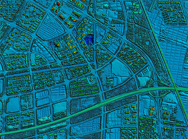
Do you know about LIDAR?
LIDAR is a radar system that detects the position, velocity and other characteristic quantities of a target by emitting a laser beam. More > -
Oct 26, 2022
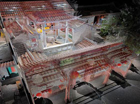
How to build 3D Models for The Oblique Photography with Ground Reshot
Due to the limitations of flight height and angle of oblique photography, problems such as voids, adhesions, deformations and texture blurring will occur at specific angles of buildings when modeling 3D real scene. More >