AIMS
AIMS AIMS-H Long Focus
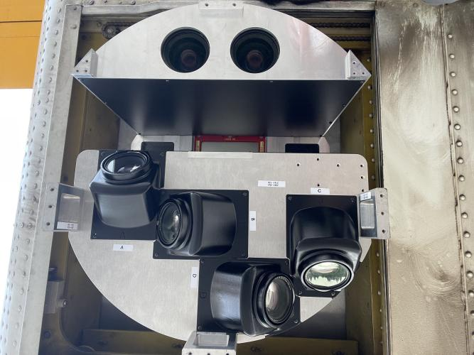
 FarsightБ└╒ System
 Riegl VQ-1560i
 Riegl VQ-780II
 UltraCam Eagle M3
 Y-1 VTOL UAV
 Aerial Acquisition
 UAV Acquisition
 Satellite Acquisition
 Field Acquisition
 Integrated
 LiDAR
LiDAR Orthophoto
 DEM
DEM DTM/DSM
 3D Mapping
 Topographic
 Infrared
 Feature Extraction
 BIM
BIM Transportation
 Water
Water power
power  Forestry
 Agriculture
 Mines & Quarries
 Heritage Buildings
 About feiyan
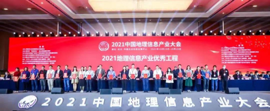
 Recognition
 Cases
Cases

search

Enter search content


News
 HomeЦ──>Ц──NewsЦ──


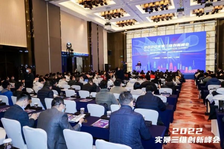


all news
-
 Jul 14, 2023
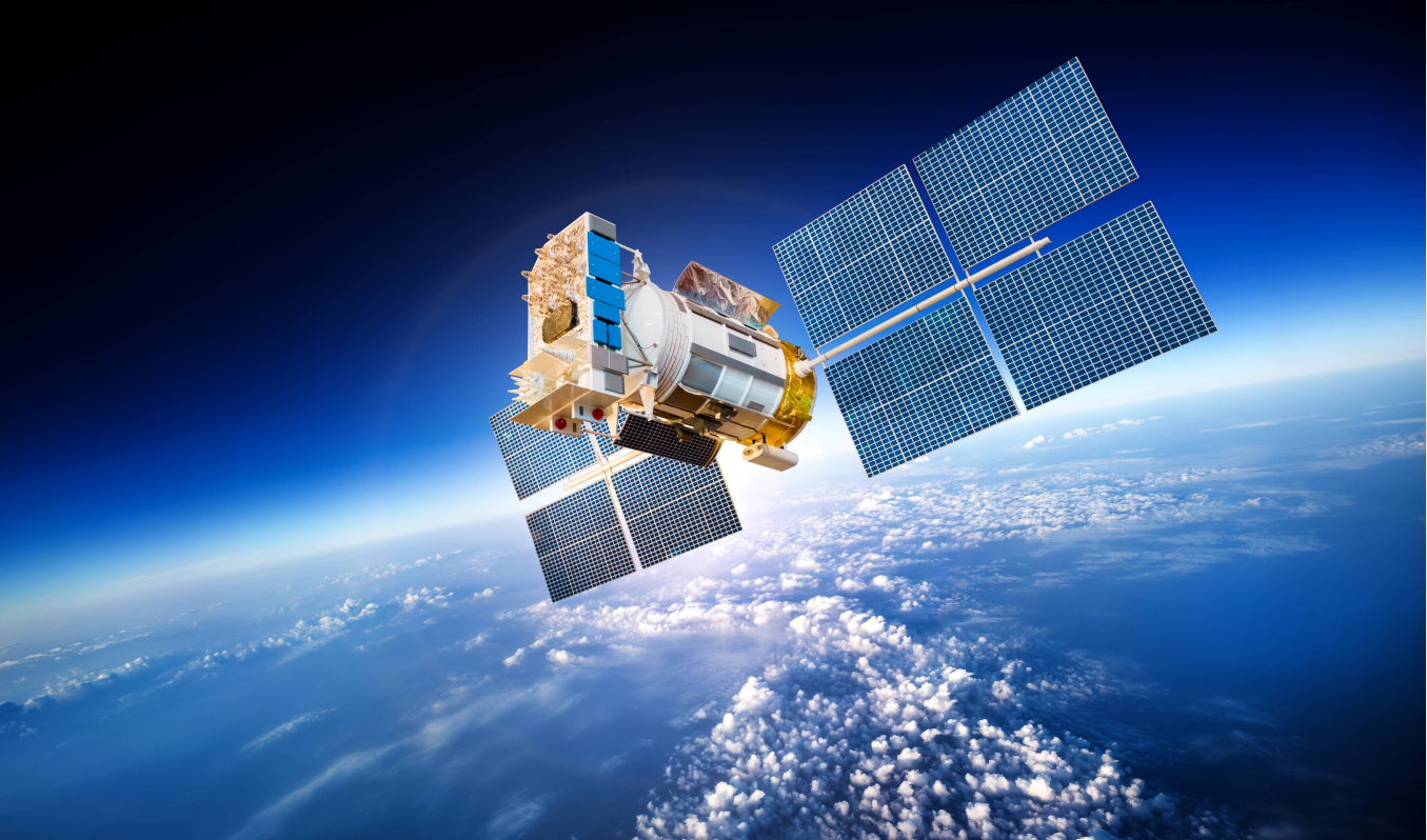
Radar satellite image surface deformation monitoring has the following advantages
More > -
Jul 13, 2023
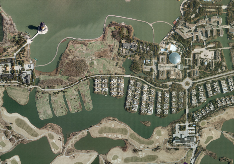
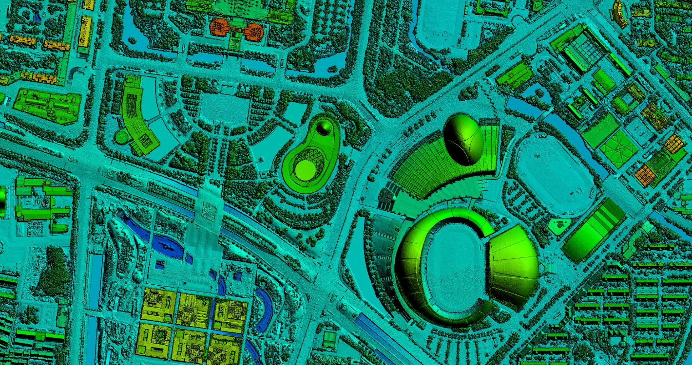
How to produce DOM image automatically or semi-automatically from satellite image
More > -
Jul 12, 2023
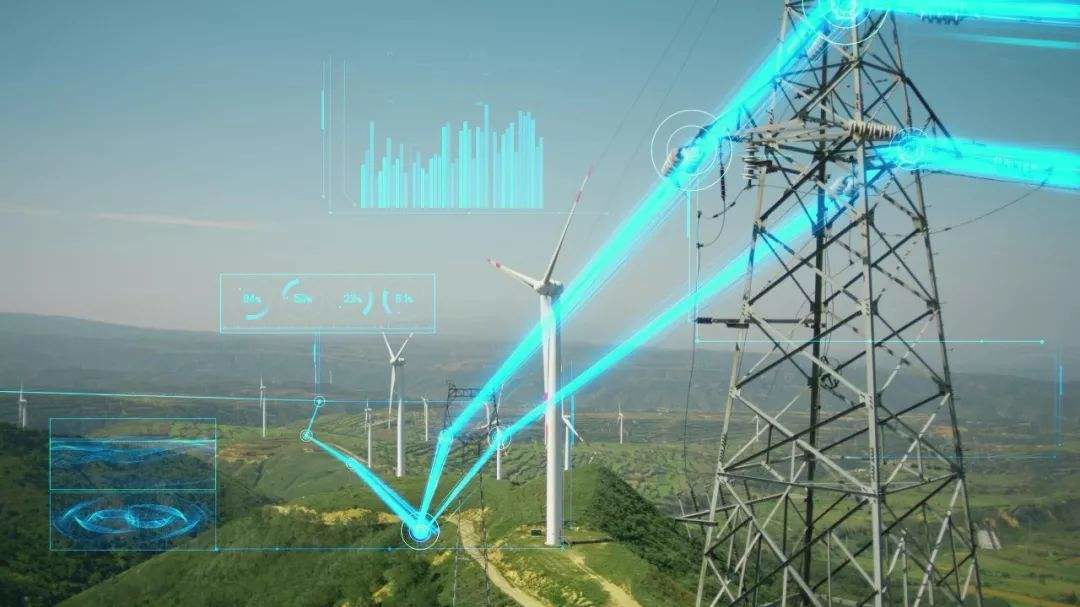
Application of Airborne LiDAR Technology in Digital Grid Construction
More > -
Jul 11, 2023
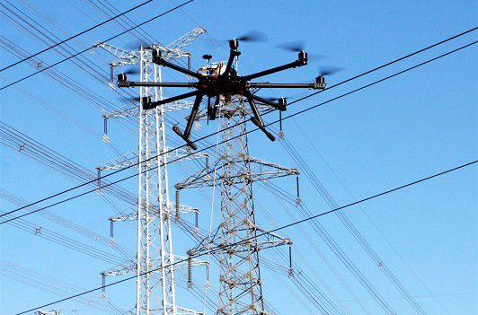
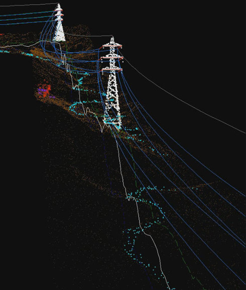
Application of airborne laser radar technology in power line inspection
More > -
Jul 10, 2023
Application of Airborne LiDAR Technology in Power Optimal Line Selection
First of all, it is necessary to analyze the map and image data, and select the appropriate transmission line path according to the actual situation to facilitate the subsequent construction of overhead transmission lines. Secondly, after the initial path selection is completed, it is necessary to use airborne lidar technology for measurement according to the selection results. The measurement process must ensure comprehensiveness, scientific processing through advanced technology, and field research using technical functions. Finally, the laser radar is used to integrate the data, and the results are fused with each other. The staff optimizes the circuit through the circuit design software and outputs the final result. More > -
Jul 07, 2023
The difference between DEM(Digital Elevation Model), DSM(Digital Surface Model) and DTM(Digital Terrain ModelБ─▀)
DEM DEM, Digital Elevation Model, is a 3D computer graphic representation of elevation data. DSM DSM, Digital Surface Model, represents the earth's surface and includes all objects on it, generally used in landscape modeling, urban modeling and visualization applications. DTM DTM, Digital Terrain ModelБ─▀, represents bare ground without any objects such as plants and buildings, and is often used for flood or drainage modeling, land use studies, geological applications, and other applications. More >