AIMS
AIMS AIMS-H Long Focus
 Farsightâą System
 Riegl VQ-1560i
 Riegl VQ-780II
 UltraCam Eagle M3
 Y-1 VTOL UAV
 Aerial Acquisition
 UAV Acquisition
 Satellite Acquisition
 Field Acquisition
 Integrated
 LiDAR
LiDAR Orthophoto
 DEM
DEM DTM/DSM
 3D Mapping
 Topographic
 Infrared
 Feature Extraction
 BIM
BIM Transportation
 Water
Water power
power  Forestry
 Agriculture
 Mines & Quarries
 Heritage Buildings
 About feiyan
 Recognition
 Cases
Cases

search


Chinese Society of Surveying and Mapping and Jiangsu Society of Surveying, Mapping and Geographic Information Came to Investigate and Guide
May 06, 2023

Recently, Song Chaozhi, chairman of the Chinese Society of Surveying and Mapping, and his party visited Feiyan Aviation Remote Sensing Technology Co., Ltd. for investigation.
Song Chaozhi visited the various departments of Feiyan Remote Sensing Nanjing Scientific Research Technology Marketing Center, watched the AIMS multi-modal aerial camera independently developed by Feiyan Remote Sensing, and listened to the independent innovation of our technical experts in aerial remote sensing technology. In recent years, Remote Sensing has conducted detailed inquiries and understandings in terms of production and operation, technological innovation, and transformation ideas, and fully affirmed the achievements of Feiyan Remote Sensing in the past few years since its establishment. He pointed out that the key to the growth and development of Feiyan Remote Sensing lies in the fact that it has been concentrating, single-minded, and focused on strengthening surveying and mapping aerial photography for 20 years. , digestion, absorption, to the development path of integrated innovation. This kind of independent innovation driven by the market has more practical guiding significance.

Song Chaozhi analyzed the development trend of surveying and mapping aerial photography. He pointed out that for the sustainable development of aerial survey enterprises, both persistence and transformation should be emphasized. The reason why we must stick to it is because our country has a vast territory, complex and diverse topography, and basic surveying and mapping still needs to be covered and updated as necessary. Existing satellite remote sensing resources are not enough to support the needs of basic surveying and mapping coverage and updating, and there will still be a certain demand for aerial photography for a period of time. At the same time, it has come to the era when equipment determines capability and technology determines level. At the small-scale level, aerial photography will face the competition of satellite remote sensing; at the large-scale level, aerial photography will encounter the impact of drones; real-scene 3D construction, and the development of artificial intelligence technology will bring impact and influence to traditional surveying and mapping aerial photography . Over the past 20 years, Feiyan Remote Sensing has not only maintained the good performance and integrity ranking of the national private enterprises for many years, but also expanded the multi-source satellite data fusion processing and interpretation services, enriching the UAV aerial photography team and data The processing team has independently developed the Swift4D digital twin space-time intelligence platform to better provide users with multi-source "data + application" services.
In the future, Feiyan Remote Sensing will also combine the opinions of this survey to further transform from the original project-oriented and service-oriented enterprises to product-oriented and platform-oriented enterprises, focus on strengthening marketing capabilities, improve understanding of the Internet, and learn from the integration of world-class Internet companies. success experience.


-
 Oct 31, 2021
We participated in the infrastructure construction of the national parks
In order to protect biodiversity and promote the sustainable development of mankind, China formally established the first batch of national parks on October 12, 2021. More > -
Mar 22, 2022
Aviation Remote Sensing Surveying and Mapping
Is obtained by the industry news: the Chinese national geographic information bureau of surveying and mapping said 2018 will accelerate the construction of aerospace Remote sensing mapping, through high score 7 satellite launch preparation, promote resource 03 star project no. 3, 4 star, the construction of domestic satellite receiving station and overseas processing system, promote new platforms such as drones, and airborne laser radar is a new application of sensor, gradually formed multi-resolution, multi-type, multi-sensor, all-weather comprehensive efficient aerospace Remote sensing mapping ability. This marks the arrival of the era of aviation Remote sensing surveying and mapping, and China will accelerate the construction of aviation Remote sensing surveying and mapping. More > -
Mar 22, 2022
3S Technology Application Status
RS, GPS and GIS technology, referred to as More > -
Mar 22, 2022
Monitoring of Water Pollutants Through Aerial Remote Sensing
Aerial Remote sensing can monitor pollutant substances and detect water pollution problems in water areas through aerial Remote sensing. More > -
Mar 22, 2022
Feiyan Remote Sensing Organized Comprehensive and Systematic Training to Improve the Professional
Recently, feiyan Remote sensing held a large-scale employee training in the headquarters, invited the directors of each branch to participate in the training, and organized the examination. More > -
Mar 22, 2022
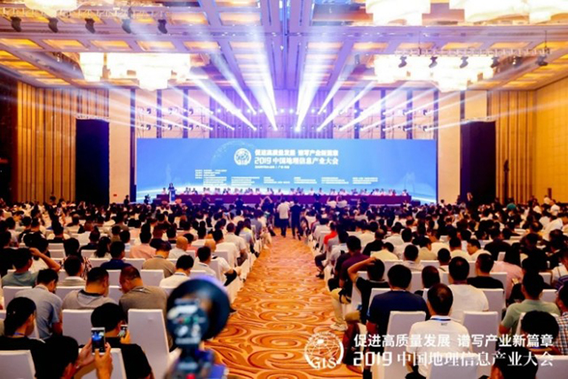
Feiyan Remote Sensing Won the Award of
With the theme of More > -
Mar 22, 2022
Feiyan Remote Sensing Training an Important Role in Ensuring the Completion of Aerial Photography
In the previous article More > -
Mar 22, 2022
Remote Sensing Applications Usher in a New Blue Ocean
Recently, at the second forum on Remote sensing application technology held in Beijing, China's autonomous Remote sensing image processing software has made great progress. More > -
Mar 22, 2022
How to use aerial remote sensing to monitor pests and diseases?
Airborne LiDAR Aerial photography can be used to analyze the degree of pests and diseases of crops or forest trees based on the laser reflection intensity of crops or forest trees; Aerial imagery can also be used to analyze the effects of crops or forest trees based on the spectral characteristics of crops or forest trees. Degree of pests and diseases. More >