AIMS
AIMS AIMS-H Long Focus
 Farsightâą System
 Riegl VQ-1560i
 Riegl VQ-780II
 UltraCam Eagle M3
 Y-1 VTOL UAV
 Aerial Acquisition
 UAV Acquisition
 Satellite Acquisition
 Field Acquisition
 Integrated
 LiDAR
LiDAR Orthophoto
 DEM
DEM DTM/DSM
 3D Mapping
 Topographic
 Infrared
 Feature Extraction
 BIM
BIM Transportation
 Water
Water power
power  Forestry
 Agriculture
 Mines & Quarries
 Heritage Buildings
 About feiyan
 Recognition
 Cases
Cases

search


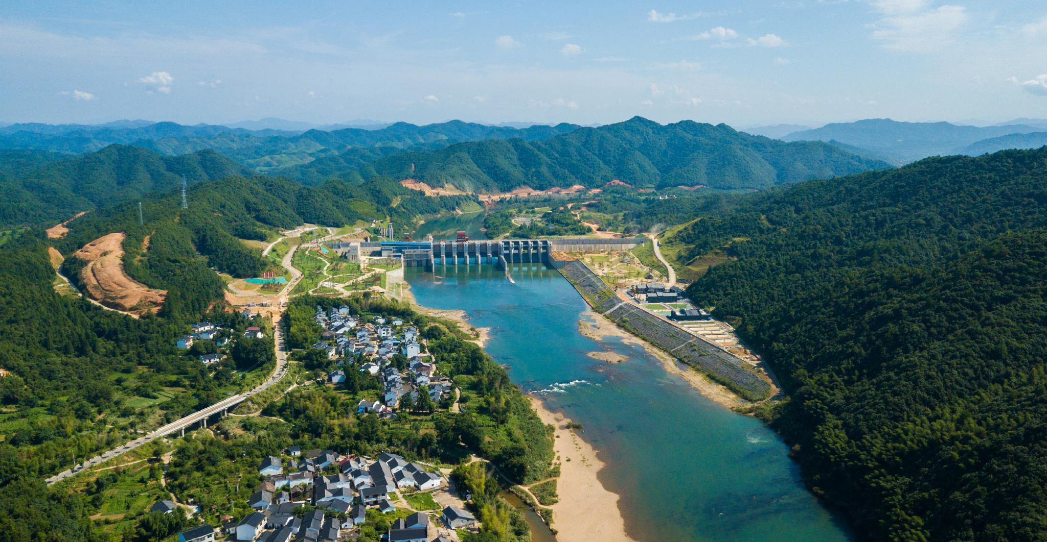
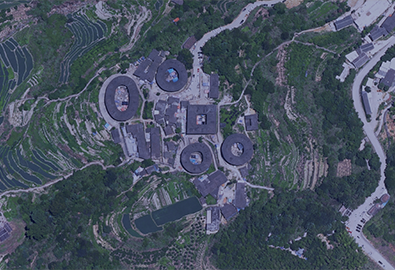
Application of Aerial Photogrammetry in Water Conservancy Engineering Terrain Surveying and Mapping
Jun 26, 2023
Nowadays, aerial photogrammetry technology plays an active role in urban planning and construction, especially in water conservancy engineering design. Among them, the most scientific method to obtain topographic surveying and mapping data of water conservancy projects is aerial photogrammetry. In practice, different water conservancy project designs require different accuracy of water conservancy topographic surveying and mapping data, so the scientific selection of aerial photography and aerial photography scale is the core to ensure the accuracy of water conservancy project topographical surveying and mapping.
1. Aerial photogrammetry materials and methods
With the help ofaerial photographic data, the aerial survey topographic map undergoes field image control survey and internal aerial three-dimensional encrypted survey, after analyzing the relative and absolute orientation elements of the photo, and then creates a spatial three-dimensional model, which is then summarized into the ground coordinate system Carry out stereo measurement to form an image. The selection of aerial photography equipment, clear aerial photography scale, field image control measurement, internal aerial three-encryption measurement accuracy and stereo measurement accuracy will all interfere with the accuracy of aerial survey topographic maps. Scientific selection of aerial survey technology solutions can ensure that water conservancy engineering design is accurate to aerial survey project topography Figure accuracy requirements.

2. Aerial photogrammetry image control point setting
ïŒ1ïŒRegional network distribution points
The area network is used to implement the setting of the level and high points. The route path span of the area network point layout is four baselines, while the mountainous and remote areas are upgraded to six baselines, and the side span is two routes. In the process of setting points in the irregular area network, add and set flat height points at the concave and convex corners.
ïŒ2ïŒAerial photogrammetry photo control points
The photo control point measurement is based on the D and E-level GPS control points, which are both the starting point and the monitoring point. The Bao R8GNSS receiver and its control handbook are connected to the FJCORS network RTK system, and the image control point is measured with reference to the network RTK technology. .
The network RTK survey rover will further realize data and service control center communication within the efficient service area of the CORS network; use the survey handbook to set the convergence accuracy of the rover and actual coordinate replacement parameters, plane and elevation, and set up communication with the reference station. If the observation conditions of the RTK survey rover are normal, the relevant instruments must be initialized before the observation to further obtain a fixed solution; if the fixed solution cannot be harvested for a long time, leave the communication link, and then perform initialization again.
The observation frequency of each station is three times, and the check must be carried out at the known control points at the beginning and end of each work; the residual value of the change of the plane coordinates of the RTK plane control points is 1.5cm at most, the tolerance is cm, and the residual value of the elevation coordinate transformation The maximum is -2.9cm, and the tolerance is cm; while the single observation plane convergence accuracy of the control points set for thin hand measurement is â€Â±2cm, and the elevation convergence accuracy is â€Â±3cm. In the RTK image control point measurement mobile station observation operation, tripod centering and leveling are adopted, and the number of observation epochs is greater than 20. The plane and elevation coordinates of each measurement must meet the requirements of â€Â±4cm, and then take the middle number is the conclusion.
ïŒ3ïŒAerial triangulation in aerial photogrammetry
Aerial triangulation is in the practice of stereo photogrammetry, refer to a small number of field control points, and implement encrypted control points indoors, calculate the elevation and plane position measurement method of encrypted points, and can realize the mapping of areas with insufficient field control points to provide absolute orientation control point. Emphasis is placed on the use of existing related programs, and in actual measurement the system can realize the setting independently, and then calculate the corresponding terrain position, without human intervention in the aerial digital camera to implement the internal specified setting.


-
 Jun 21, 2021
The Department of Natural Resources of Jiangsu Province guides the surveying and mapping aerial photography work
Recently, Feiyan remote sensing in the project implementation site welcomed Lin Hao, chief planner of the Department of Natural Resources of Jiangsu Province, and the Office of Land Surveying and Mapping, Law Enforcement Supervision Bureau, Finance and Capital Use Office, joint research and supervision of the 2021 province's basic mapping aerial photography work. More > -
Mar 18, 2022
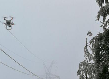
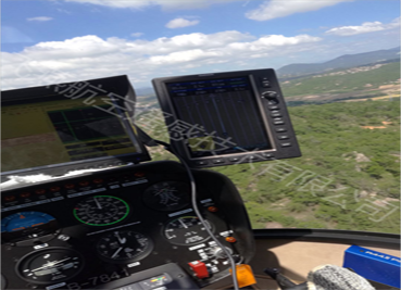
Aerial photography to understand
Aerial photography, as a modern means of photography, can overlook things from a height that is difficult for people to reach, and convey a macro image to the audience from a completely liberated perspective, bringing a brand-new visual enjoyment. In recent years, with the development of television and flight technology, various methods of Aerial photography have been widely used in the production of films and TV documentaries. During the expo, helicopter Aerial photography was used many times to show the lively scene of the expo site. Today let's take a closer look at Aerial photography and learn its secrets. More > -
Mar 22, 2022
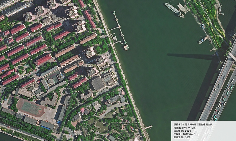
Aerial Photography for Shoreline Mapping
Aerial photographs are a little different than the photos you might take with your own camera. The primary aerial photographic product is a high-resolution (39 megapixel) digital color photograph. Depending on the camera lens, photos can be taken in black-and-white or near-infrared. More > -
Mar 23, 2022
The Most Scientific Method To Obtain Water Conservancy Topographic Survey Data
As we all know, Aerial photogrammetry technology is playing an increasingly important role in urban planning and construction. Moreover, compared with the traditional topographic survey technology, Aerial photogrammetry technology has the advantages of small volume, light weight, rapid response, good accuracy and low flight conditions. Therefore, Aerial photogrammetry technology is also the most scientific and effective method in the topographic survey of water conservancy projects. More > -
May 23, 2023
What Are the Limitations of Drone Aerial Photography?
Compared with traditional aerial photography, the low efficiency of UAV aerial photography has become one of the main bottlenecks restricting its development. More > -
May 25, 2023
What is Surveying and Mapping Aerial Photography
Surveying and mapping aerial photography is the use of aerial photography to obtain the image data of the target object. More > -
Jun 09, 2023
What Are the Main Advantages of Aerial Photogrammetry Technology?
âAerial photogrammetry technology is a technology that applies flight technology to surveying and mapping. More >