AIMS
AIMS AIMS-H Long Focus
 FarsightБ└╒ System
 Riegl VQ-1560i
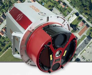
 Riegl VQ-780II
 UltraCam Eagle M3
 Y-1 VTOL UAV
 Aerial Acquisition
 UAV Acquisition
 Satellite Acquisition
 Field Acquisition
 Integrated
 LiDAR
LiDAR Orthophoto
 DEM
DEM DTM/DSM
 3D Mapping
 Topographic
 Infrared
 Feature Extraction
 BIM
BIM Transportation
 Water
Water power
power  Forestry
 Agriculture
 Mines & Quarries
 Heritage Buildings
 About feiyan
 Recognition
 Cases
Cases

search

Enter search content


News
 HomeЦ──>Ц──NewsЦ──


all news
-
 May 18, 2023
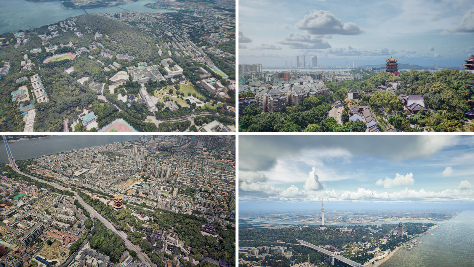
Steps for making real-world 3D models
The real scene 3D constructs the real scene 3D model through oblique photography, and puts the real scene 3D model into the GIS platform for application. More > -
May 17, 2023
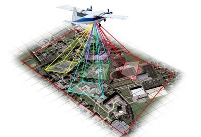
Features of Oblique Photography
The birth of oblique photography technology has subverted the traditional way of operation. More > -
May 16, 2023
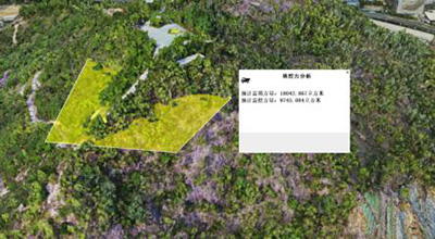
Application of Oblique Photogrammetry in Traditional Cadastral Survey
The main application of oblique photogrammetry in traditional cadastral surveying is data acquisition and data processing of cadastral surveying data information. More > -
May 16, 2023
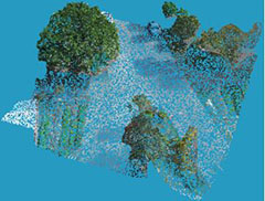
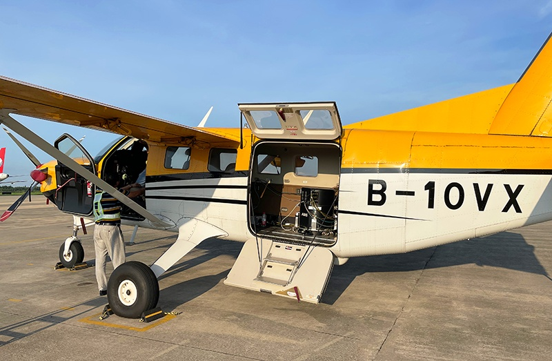
Can Lidar See Through Forests to Aid Geological Surveys?
LiDAR is the product of the combination of laser technology and radar technology, a new ultra-high performance, highly integrated and calibrated dual-channel airborne laser scanner system. More > -
May 15, 2023
What Are the Applications of Real-World 3D Models?
The real-scene 3D model has both three-dimensional and real-scene characteristics. In the business work of natural resources, it has a wealth of spatial analysis applications and provides powerful data support for other industries. More > -
May 12, 2023
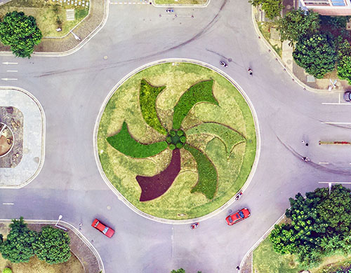
What Is Oblique Photography?
Oblique photography technology is a high-tech developed in the field of international surveying, mapping and remote sensing in recent years. More >