AIMS
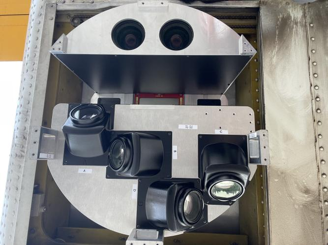
AIMS AIMS-H Long Focus
 FarsightБ└╒ System
 Riegl VQ-1560i
 Riegl VQ-780II
 UltraCam Eagle M3
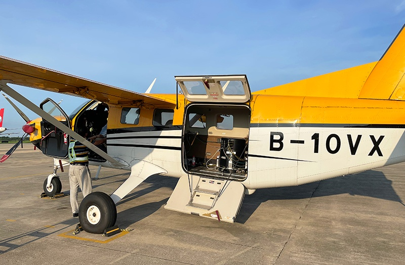
 Y-1 VTOL UAV
 Aerial Acquisition
 UAV Acquisition
 Satellite Acquisition
 Field Acquisition
 Integrated
 LiDAR
LiDAR Orthophoto
 DEM
DEM DTM/DSM
 3D Mapping
 Topographic
 Infrared
 Feature Extraction
 BIM
BIM Transportation
 Water
Water power
power  Forestry
 Agriculture
 Mines & Quarries
 Heritage Buildings
 About feiyan
 Recognition
 Cases
Cases

search

Enter search content


News
 HomeЦ──>Ц──NewsЦ──


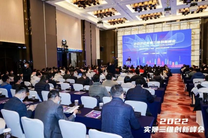


all news
-
 May 24, 2023
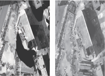
What is the difference between TDOM and DOM? Where are they applied?
TDOM is called the true orthoimage, which eliminates the projection error of the building, DOM is called an orthophoto. It does not eliminate the projection error of the building. More > -
May 23, 2023
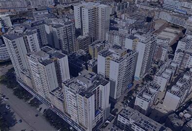
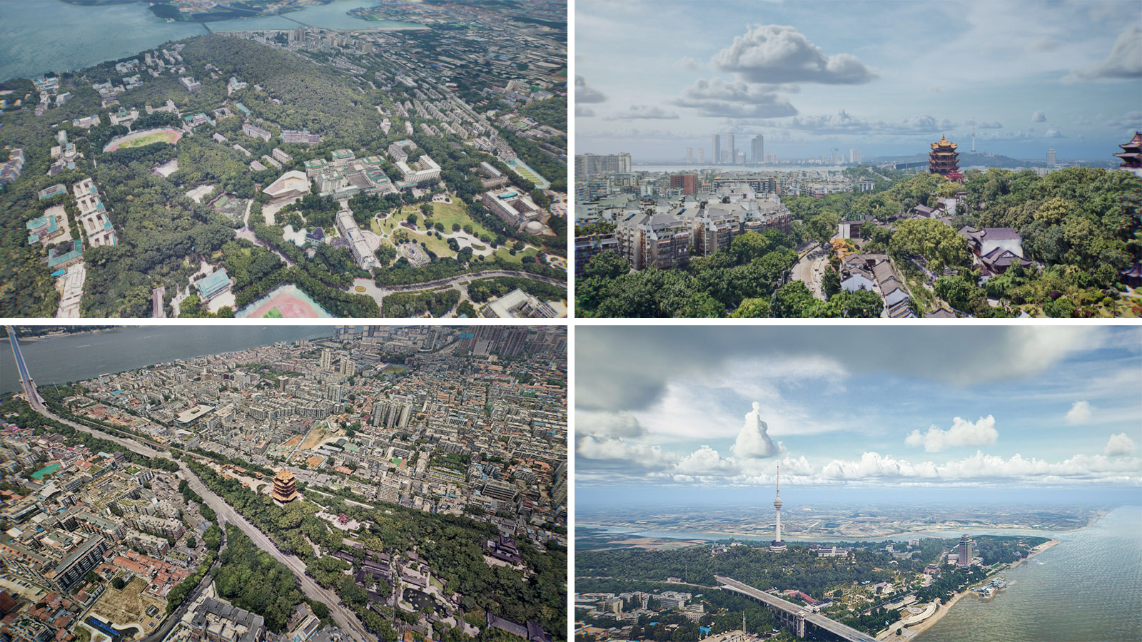
Connotation of Real Scene 3D Data
The three-dimensional world is different from the two-dimensional world: the two-dimensional world is a flat world with only length and width, while the three-dimensional world is a three-dimensional world with length, width and height, which is also the space in which we humans live. More > -
May 23, 2023
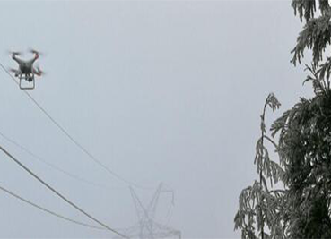
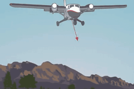
What Are the Limitations of Drone Aerial Photography?
Compared with traditional aerial photography, the low efficiency of UAV aerial photography has become one of the main bottlenecks restricting its development. More > -
May 22, 2023
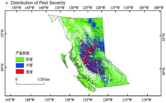
How to Use Aerial Remote Sensing to Monitor Pests and Diseases?
Airborne lidarБ─▀ aerial photography can be used to analyze the degree of plant diseases and insect pests of crops or forest trees according to the laser reflection intensity of crops or forest trees. More > -
May 20, 2023
What Can Point Cloud Data Be Used For?
This article summarizes the five application directions of point cloud data, hope it can bring you help. More > -
May 19, 2023
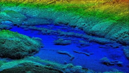
Acquisition and characteristics of LiDAR point cloud data
Laser radar (LiDAR) point cloud data is obtained from airborne laser radar that emits laser signals to the ground and collects laser signals reflected from the ground. More >