AIMS
AIMS AIMS-H Long Focus
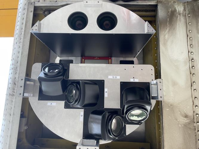
 FarsightБ└╒ System
 Riegl VQ-1560i
 Riegl VQ-780II
 UltraCam Eagle M3
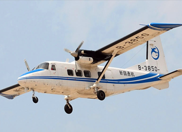
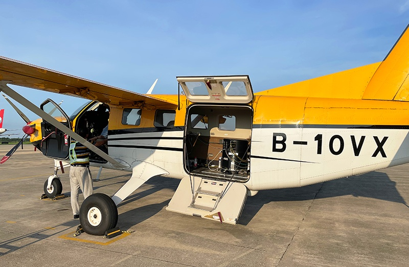
 Y-1 VTOL UAV
 Aerial Acquisition
 UAV Acquisition
 Satellite Acquisition
 Field Acquisition
 Integrated
 LiDAR
LiDAR Orthophoto
 DEM
DEM DTM/DSM
 3D Mapping
 Topographic
 Infrared
 Feature Extraction
 BIM
BIM Transportation
 Water
Water power
power  Forestry
 Agriculture
 Mines & Quarries
 Heritage Buildings
 About feiyan
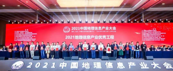
 Recognition
 Cases
Cases

search

Enter search content


News
 HomeЦ──>Ц──NewsЦ──

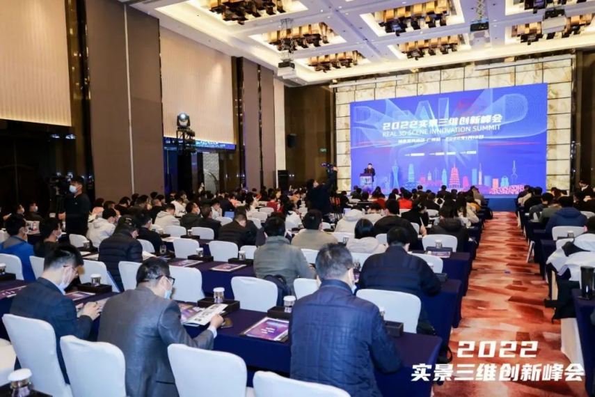


all news
-
 May 30, 2023
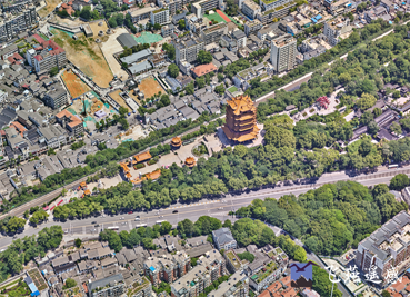
Feiyan Remote Sensing Suzhou Real Scene 3D Project Successfully Passed the Acceptance
Б─▀Recently, the Suzhou multi-source data real-scene 3D project achievement acceptance meeting was held in Suzhou, and the project achievement passed the acceptance smoothly. More > -
May 29, 2023
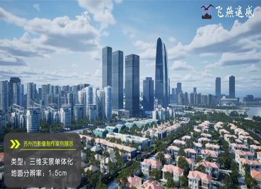
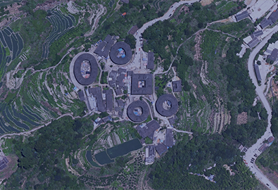
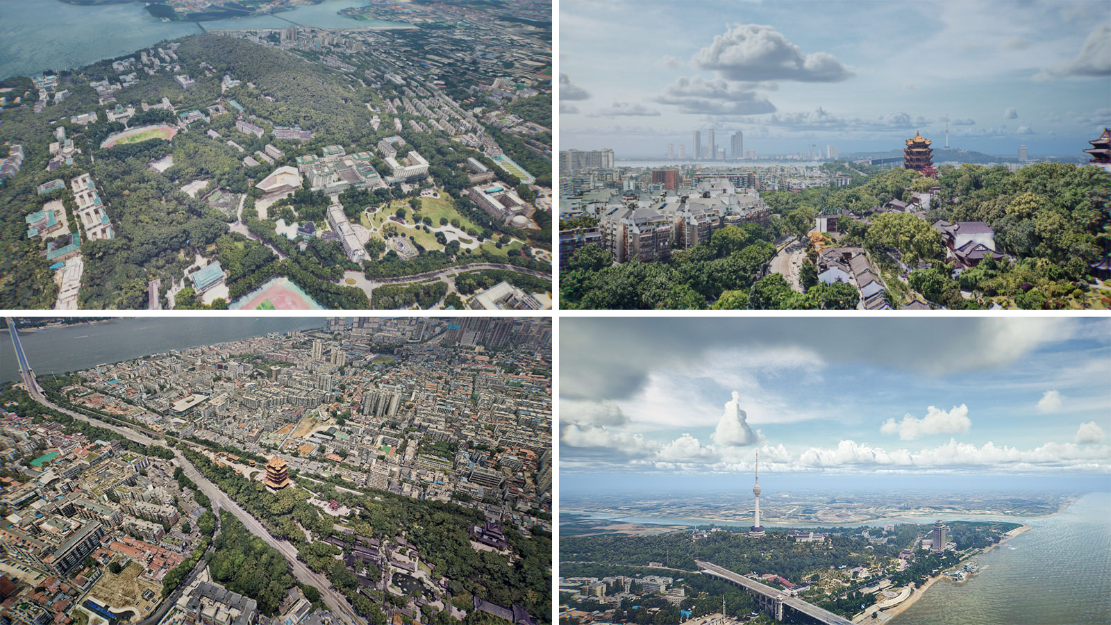
Feiyan remote sensing real scene 3D project case
In the past two years, Feiyan Remote Sensing has successively undertaken the 3D construction of terrain-level, city-level, and component-level real-scenes in Jiangsu, Anhui, Hong Kong and other places over 10,000 square kilometers. More > -
May 29, 2023
Feiyan Remote Sensing Susong County Surveying and Mapping Project Successfully Passed Acceptance
The project fully combines the development needs of Susong County, and incorporates digital aerial photography, lidar aerial photography and oblique aerial photography into the service content. More > -
May 26, 2023
What is Remote Sensing Image Processing Technology?
Remote sensing image processing technology includes many aspects: data compression, image recovery, information extraction and image enhancement. More > -
May 25, 2023
Main Features Of Remote Sensing Technology
Remote sensing technology has a large range of data acquisition. The use of aerial remote sensing data to obtain data data is usually carried by aircraft. More > -
May 25, 2023
What is Surveying and Mapping Aerial Photography
Surveying and mapping aerial photography is the use of aerial photography to obtain the image data of the target object. More >