AIMS
AIMS AIMS-H Long Focus
 Farsightâą System
 Riegl VQ-1560i
 Riegl VQ-780II
 UltraCam Eagle M3
 Y-1 VTOL UAV
 Aerial Acquisition
 UAV Acquisition
 Satellite Acquisition
 Field Acquisition
 Integrated
 LiDAR
LiDAR Orthophoto
 DEM
DEM DTM/DSM
 3D Mapping
 Topographic
 Infrared
 Feature Extraction
 BIM
BIM Transportation
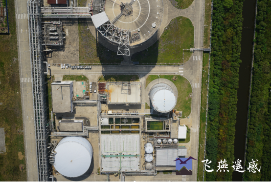
 Water
Water power
power  Forestry
 Agriculture
 Mines & Quarries
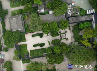
 Heritage Buildings
 About feiyan
 Recognition
 Cases
Cases

search


Feiyan Remote Sensing
Aug 23, 2023
Recently, Taizhou Natural Resources and Planning Bureau held the acceptance meeting of "2022 Taizhou Urban Aerial Photography and DOM Production Project" in Feiyan Remote Sensing organization.
Feiyan Remote Sensing equipped with digital aerial camera completed the 808 square kilometers of Taizhou true color digital aerial photography in 3 flights, the ground resolution is better than 0.1 meters, and produced orthophoto map.
At the meeting, the expert group listened to the project report, watched the demonstration of the results, and unanimously agreed that the project passed the acceptance. This project is based on the construction of Taizhou smart city, improves the level of urban spatial governance, and meets the requirements of precise government policies, fine urban management and the update of Taizhou basic geographic information data under the background of new smart cities.


-
 Mar 22, 2022
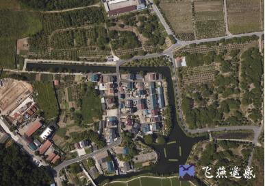
What is DOM in mapping 4D products?
With the combination and continuous development of mapping technology and computer technology, maps are not limited to previous models. Modern digital maps are mainly composed of DOM, DEM, DRG, DLG and composite models. More > -
Mar 22, 2022
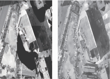
What is the difference between TDOM and DOM?
TDOM is called true projection image, which eliminates the projection error of the building, and only the top of the building can be seen, and there will be no occlusion between buildings. DOM is called orthophoto. It does not eliminate the projection error of the building. The building is inverted, and high-rise buildings often cover low-rise buildings. There are difference between TDOM and DOM. More > -
Mar 29, 2023
Advantages, Disadvantages and Applications of Digital Orthophoto Map(DOM)
A detailed introduction about the advantages and disadvantagesïŒsolutions and applications of DOM. More > -
Apr 21, 2023
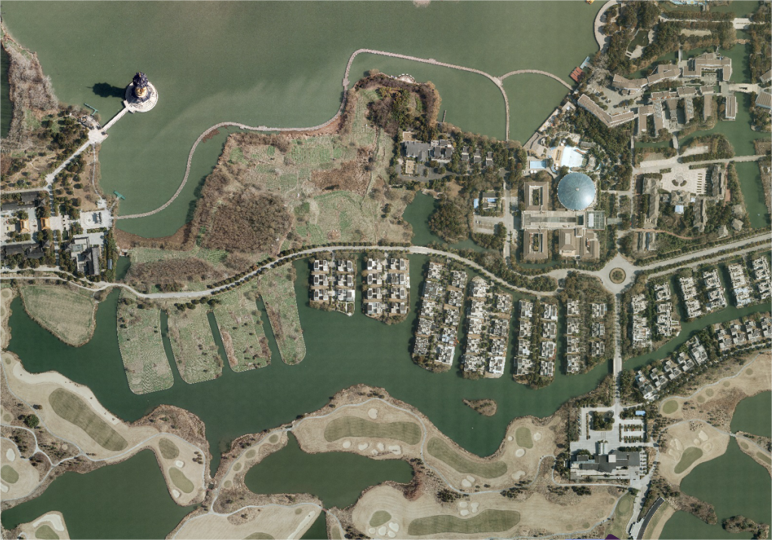
What is The Digital Orthomap (DOM)
The Digital Orthomap (DOM) is a computer-generated image of an aerial photo in which displacement (distortion) caused by terrain relief and camera tilt has been removed, combining the imagery features of a photo with the geometric features of a map. More > -
May 04, 2023
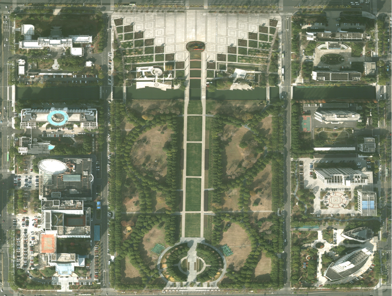
DOM Acquisition Method and Production Process
The digital orthophoto map uses the digital elevation model (DEM) to perform projection difference correction and mosaic pixel by pixel on the scanned digital aerial photos or satellite image data collected at high altitude, and cuts according to the range of the national basic scale topographic map The resulting digital orthophoto dataset. More > -
May 05, 2023
DOM Production Process
Relevant data needs to be collected before DOM is generated, that is, the data preparation stage, including original digital aerial photos, analytical aerial triangulation results, DEM results, etc. More > -
May 06, 2023
DOM Quality Inspection
After the DOM is made, it is necessary to check the quality of the DOM. More > -
May 24, 2023
What is the difference between TDOM and DOM? Where are they applied?
TDOM is called the true orthoimage, which eliminates the projection error of the building, DOM is called an orthophoto. It does not eliminate the projection error of the building. More > -
Jul 13, 2023
How to produce DOM image automatically or semi-automatically from satellite image
More >