AIMS
AIMS AIMS-H Long Focus
 FarsightБ└╒ System
 Riegl VQ-1560i
 Riegl VQ-780II
 UltraCam Eagle M3
 Y-1 VTOL UAV
 Aerial Acquisition
 UAV Acquisition
 Satellite Acquisition
 Field Acquisition
 Integrated
 LiDAR
LiDAR Orthophoto
 DEM
DEM DTM/DSM
 3D Mapping
 Topographic
 Infrared
 Feature Extraction
 BIM
BIM Transportation
 Water
Water power
power  Forestry
 Agriculture
 Mines & Quarries
 Heritage Buildings
 About feiyan
 Recognition
 Cases
Cases

search

Enter search content


News
 HomeЦ──>Ц──NewsЦ──


all news
-
 Jun 22, 2022
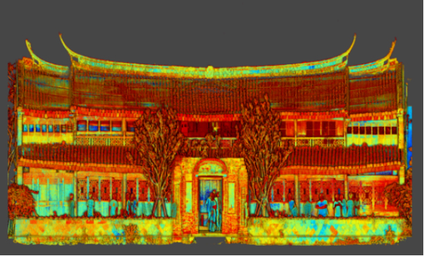
Historical Building Surveying and Mapping
China will further step up efforts to safeguard and transmit historical and cultural heritage as part of ongoing urban and rural development strategies. More > -
Jun 17, 2022
Satellite Technologies For Plant Nutrient Deficiency Identification And Treatment
Satellite Technologies For Plant Nutrient Deficiency Identification And Treatment More > -
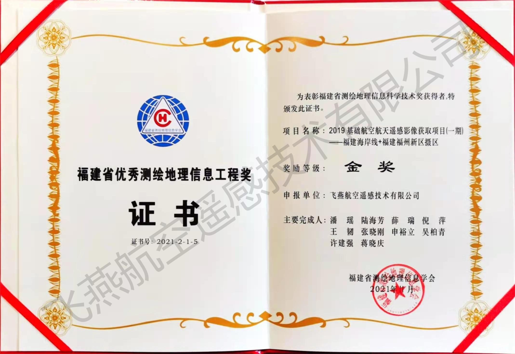
Mar 23, 2022
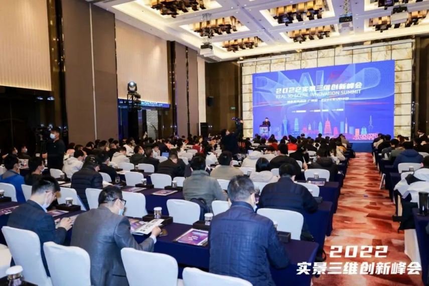
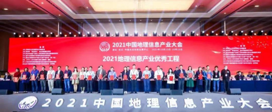
Feiyan won golden medal in the 2021 Fujian Provincial Excellent Surveying&Mapping
Congratulations! A project called More > -
Mar 23, 2022
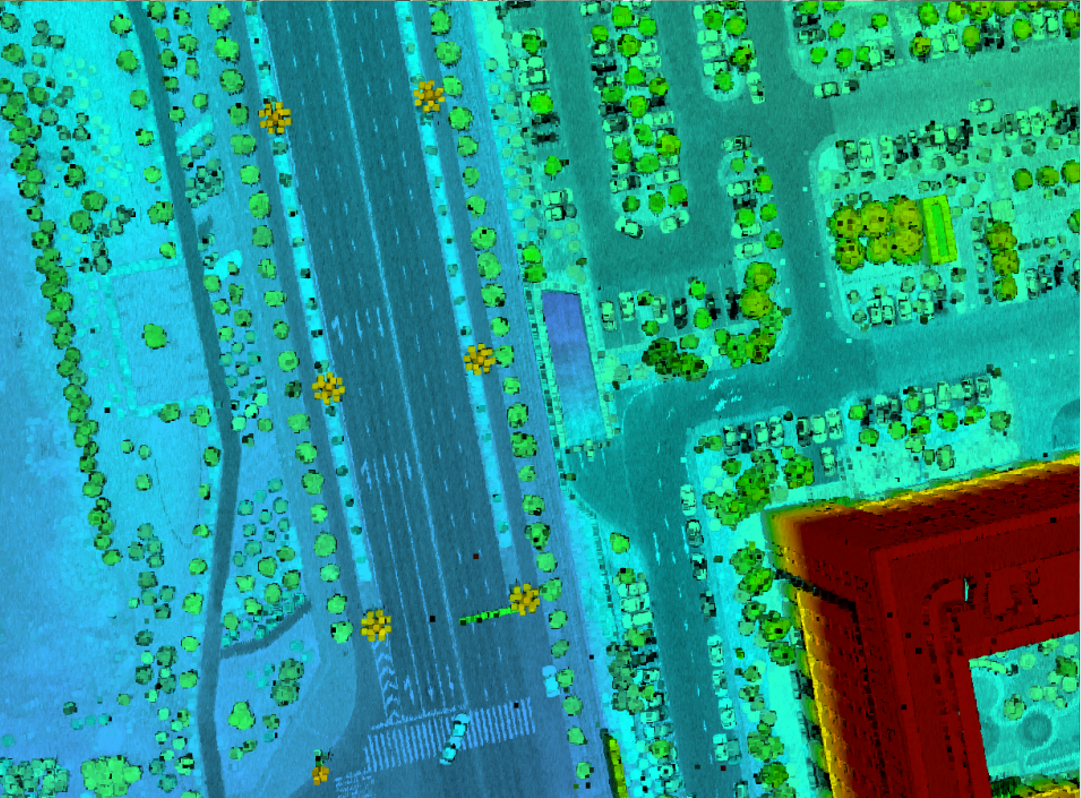
P3C (Point Cloud Cluster) & Classification
With further increases market demand by surveying and mapping industry, Feiyan Remote sensing's aerial equipment and technology are also continuously growing and upgrading. More > -
Mar 23, 2022
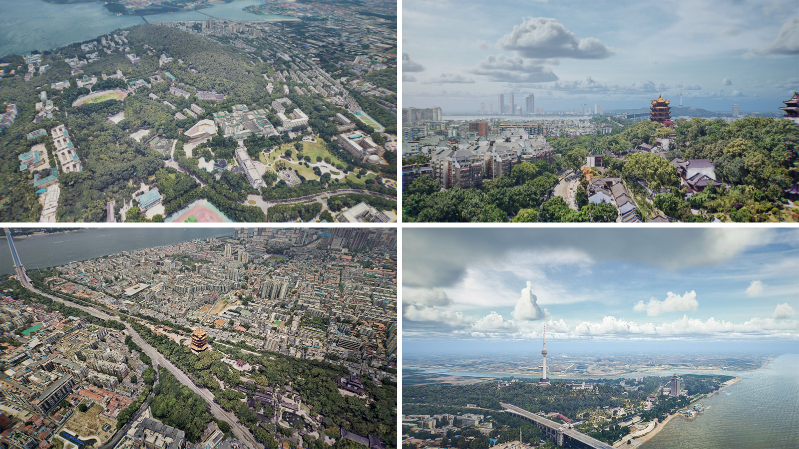
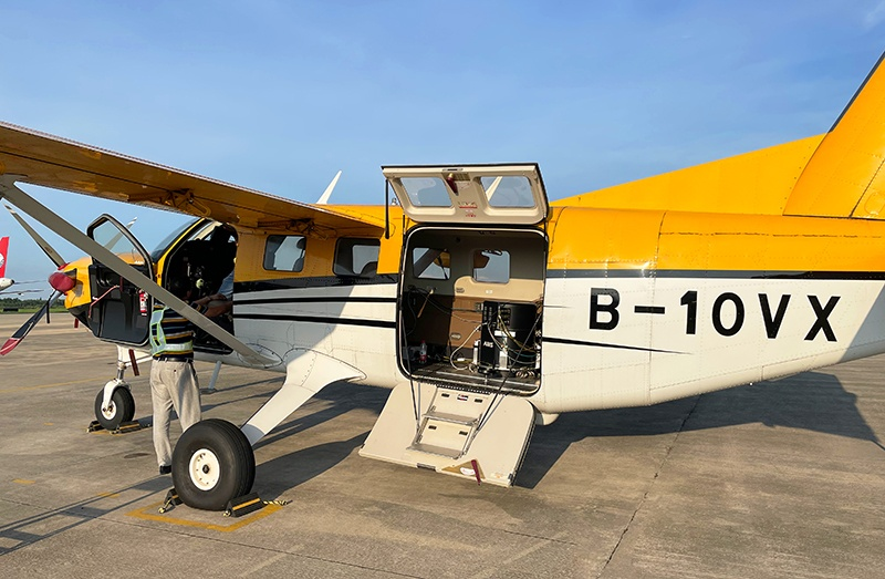
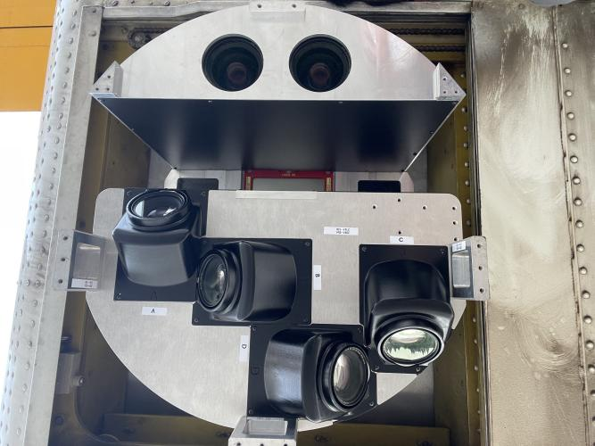
AIMS Preliminary Flight
Recently, AIMS, which is the aviation integrated multi-sensor aerial camera, independently developed by Feiyan Aerial Remote sensing Technology Co. , Ltd. has been successfully carried out the preliminary flight. More > -
Mar 23, 2022
Flexibility of aerial photogrammetry technology
Aerial photogrammetry is generally low altitude flight, which is easy to operate in airspace and will not be affected by extreme weather. At the same time, it is not limited to the needs of take-off and landing sites. It only needs to select a relatively flat site for take-off and landing. More >