AIMS
AIMS AIMS-H Long Focus
 FarsightБ└╒ System
 Riegl VQ-1560i
 Riegl VQ-780II
 UltraCam Eagle M3
 Y-1 VTOL UAV
 Aerial Acquisition
 UAV Acquisition
 Satellite Acquisition
 Field Acquisition
 Integrated
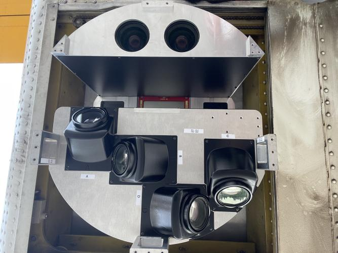
 LiDAR
LiDAR Orthophoto
 DEM
DEM DTM/DSM
 3D Mapping
 Topographic
 Infrared
 Feature Extraction
 BIM
BIM Transportation
 Water
Water power
power  Forestry
 Agriculture
 Mines & Quarries
 Heritage Buildings
 About feiyan
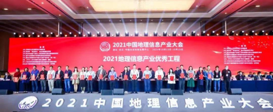
 Recognition
 Cases
Cases

search

Enter search content


News
 HomeЦ──>Ц──NewsЦ──


all news
-
 Mar 22, 2022
What Are the Requirements for the Airborne Lidar Camera for the Acquisition of Lidar Point Cloud Data
In the effective altitude range, to ensure the lowest point cloud density, the laser radar maximum laser emission frequency To be higher. More > -
Mar 22, 2022
LiDAR and Hyperspectral Remote Sensing Data Fusion Realize Complementary Advantages
With the continuous development and progress of earth observation technology, and the continuous diversification of means for obtaining spatial information, the use of a single means of spatial data resources has been difficult to meet people's information needs. Lidar and hyperspectral Remote sensing, as two common Remote sensing methods, have different characteristics: Lidar can quickly, efficiently and accurately obtain three-dimensional spatial data of features, and hyperspectral images can well characterize the spectral information of features , Reflecting the characteristics of its features, materials, texture, etc. The fusion of these two kinds of data can achieve complementary advantages, maximize their respective characteristics, and achieve more accurate intelligent detection and identification of objects and higher-precision classification and extraction, which are widely used in forestry ecology, precision agriculture, environment Monitoring and other fields. More > -
Mar 22, 2022
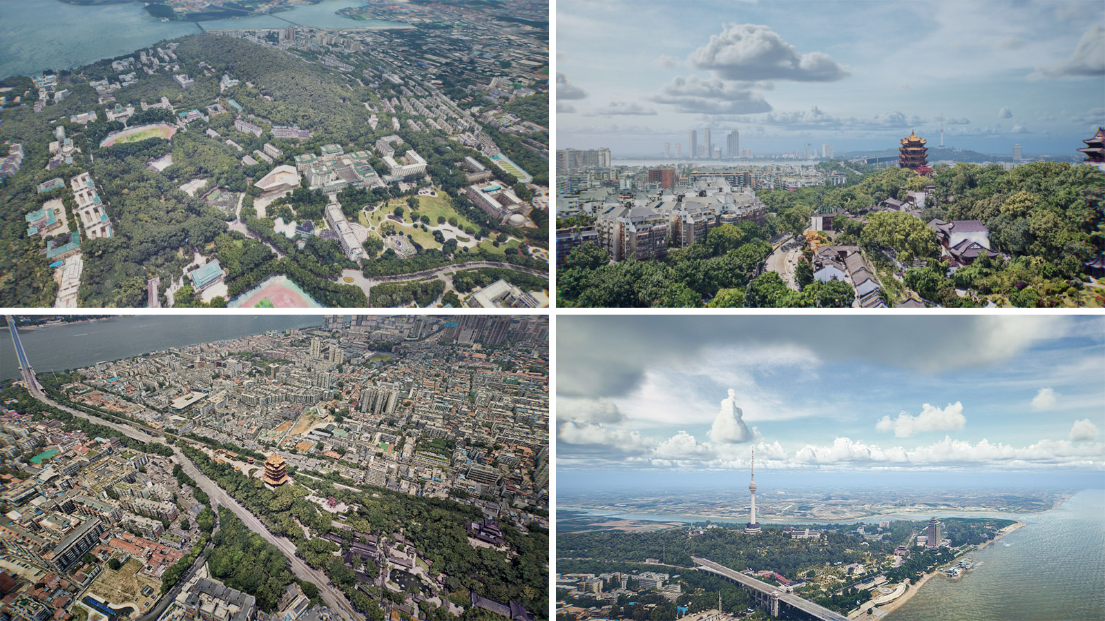
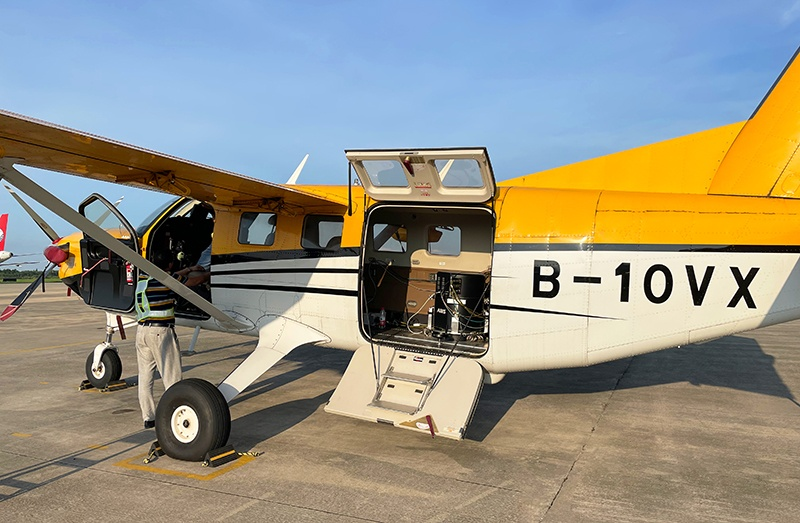
Feiyan Remote Sensing LiDAR aerial photography project accumulates over 100,000 square kilometers
At present, airborne LiDAR technology has made great progress and has been widely used in many fields. Following the trend of technology development, feiyan Remote sensing has long been in the forefront of the industry. More > -
Mar 22, 2022
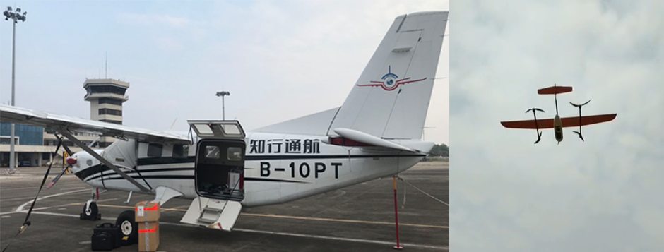
Advantages and Disadvantages of Large Aircraft Aerial Photography and Drone Aerial Photography
Large aircraft Aerial photography has a large area, high Aerial photography efficiency and good image quality. Aerial photography is usually used for Aerial photography. More > -
Mar 22, 2022
Remote Sensing Applications Usher in a New Blue Ocean
Recently, at the second forum on Remote sensing application technology held in Beijing, China's autonomous Remote sensing image processing software has made great progress. More > -
Mar 22, 2022
Feiyan Remote Sensing Training an Important Role in Ensuring the Completion of Aerial Photography
In the previous article More >