AIMS
AIMS AIMS-H Long Focus
 FarsightБ└╒ System
 Riegl VQ-1560i
 Riegl VQ-780II
 UltraCam Eagle M3
 Y-1 VTOL UAV
 Aerial Acquisition
 UAV Acquisition
 Satellite Acquisition
 Field Acquisition
 Integrated
 LiDAR
LiDAR Orthophoto
 DEM
DEM DTM/DSM
 3D Mapping
 Topographic
 Infrared
 Feature Extraction
 BIM
BIM Transportation
 Water
Water power
power  Forestry
 Agriculture
 Mines & Quarries
 Heritage Buildings
 About feiyan
 Recognition
 Cases
Cases

search

Enter search content


News
 HomeЦ──>Ц──NewsЦ──


all news
-
 Mar 22, 2022
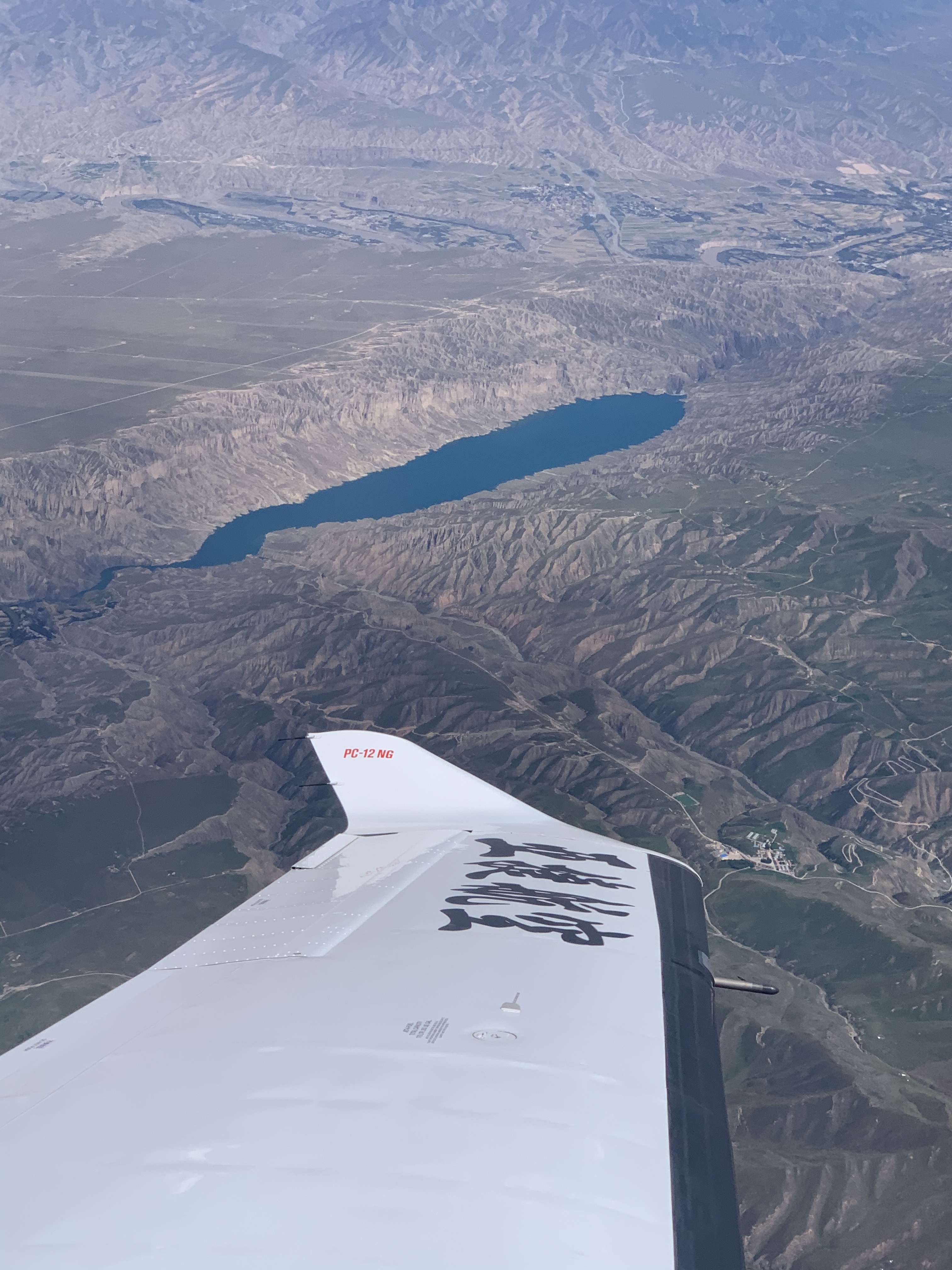
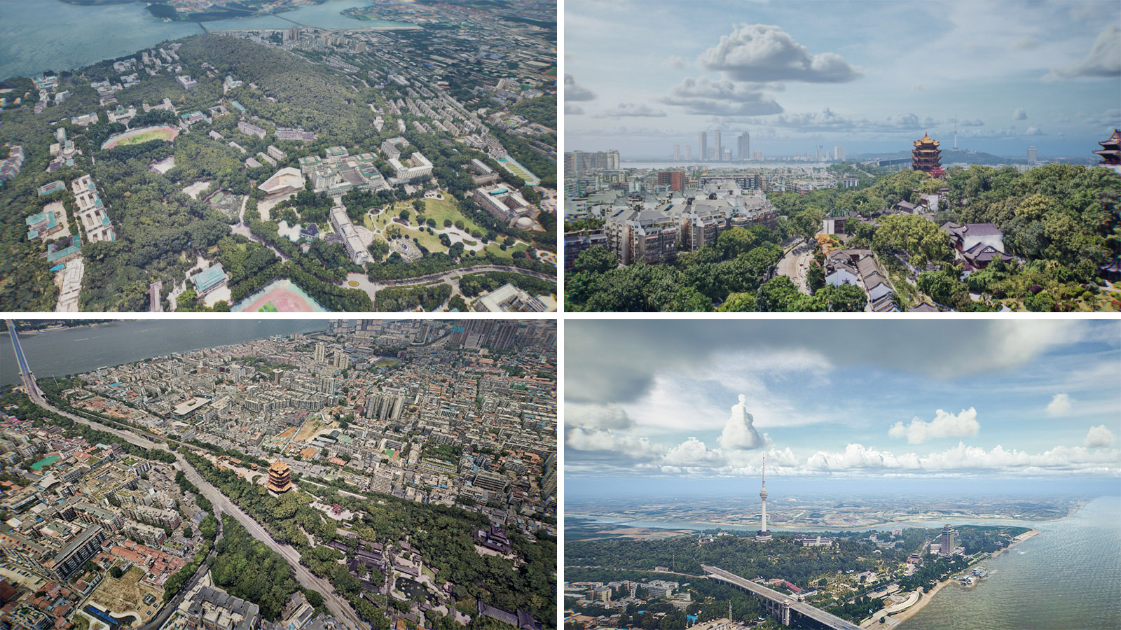
Why Can't Aerial Photography Be Taken on Many Sunny Days?
This question cannot be asked like that. Aerial photography must be sunny, but the altitude angle of the sun must be considered. More > -
Mar 22, 2022
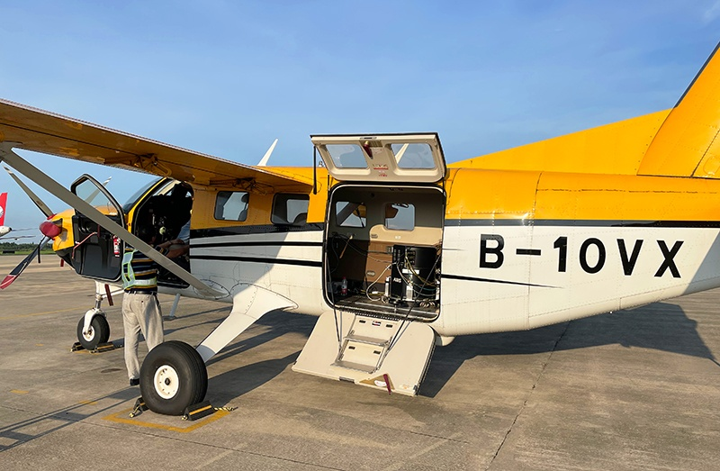
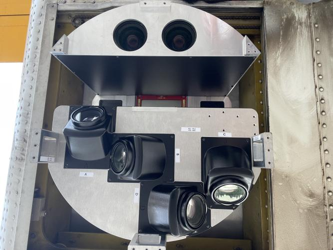
Lidar Is a Key Technology Involved in Terrain Mapping
This question cannot be asked like that. Aerial photography must be sunny, but the altitude angle of the sun must be considered. More > -
Mar 22, 2022
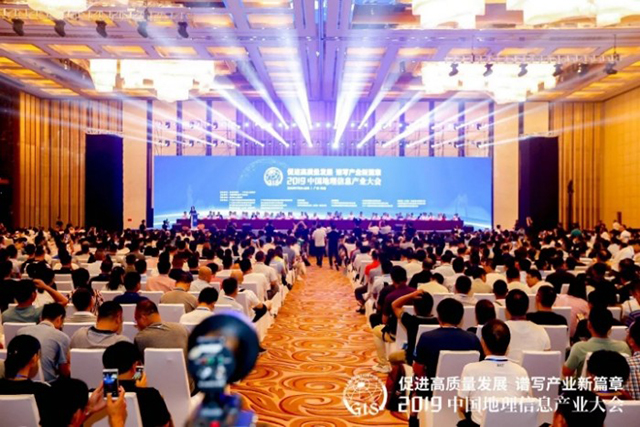
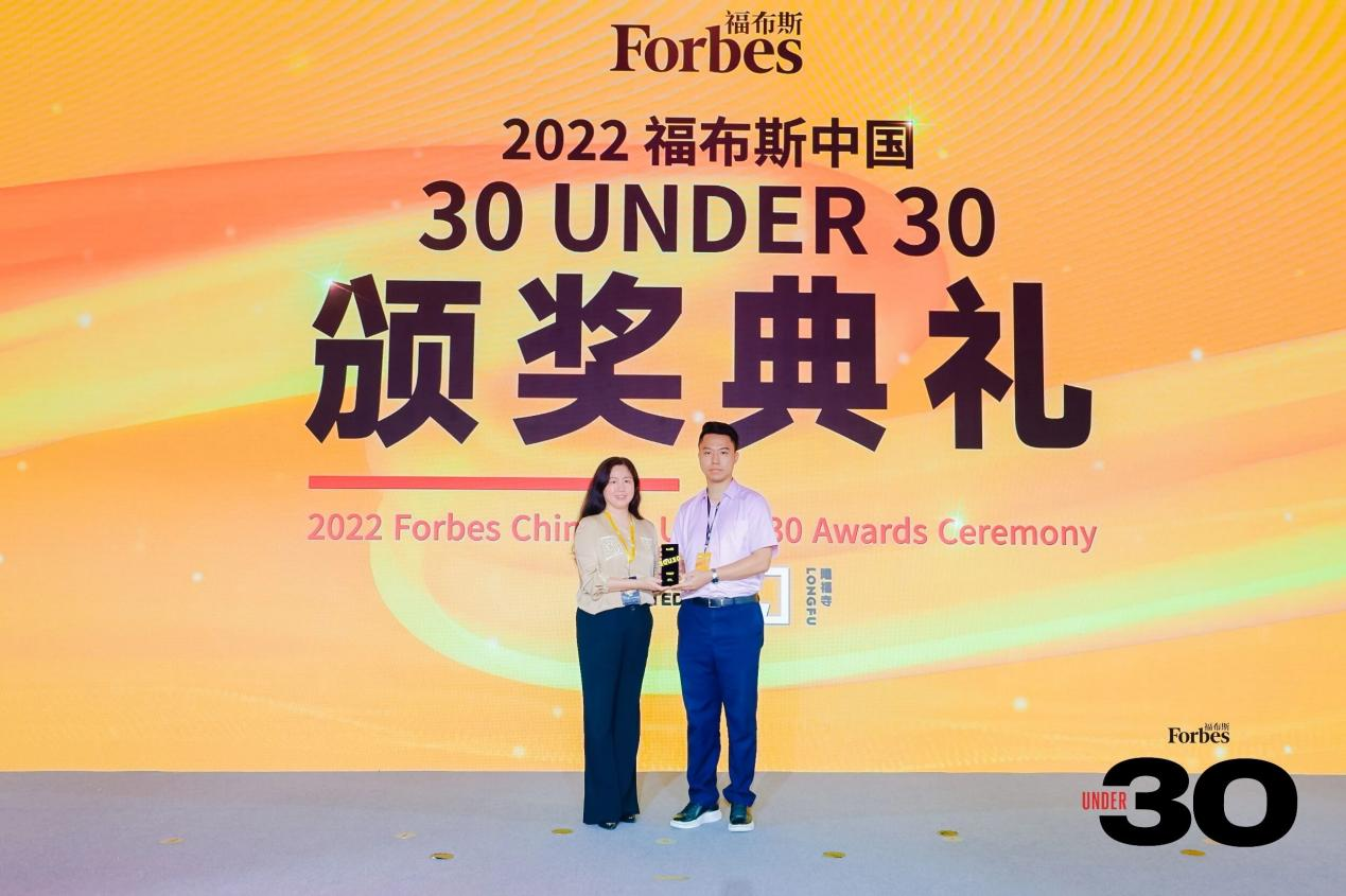
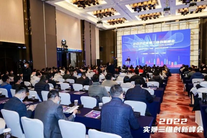
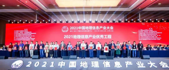
Feiyan Remote Sensing Won the Award of
With the theme of More > -
Mar 22, 2022
What is the difference between TDOM and DOM?
TDOM is called true projection image, which eliminates the projection error of the building, and only the top of the building can be seen, and there will be no occlusion between buildings. DOM is called orthophoto. It does not eliminate the projection error of the building. The building is inverted, and high-rise buildings often cover low-rise buildings. There are difference between TDOM and DOM. More > -
Mar 22, 2022
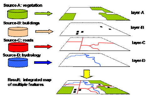
Introduction to Geospatial Data Management
This article provides a very brief introduction to geographic information systems (GIS) technology and the unique kinds of GIS data files that enable such technology. More > -
Mar 22, 2022
Feiyan Remote Sensing Organized Comprehensive and Systematic Training to Improve the Professional
Recently, feiyan Remote sensing held a large-scale employee training in the headquarters, invited the directors of each branch to participate in the training, and organized the examination. More >