AIMS
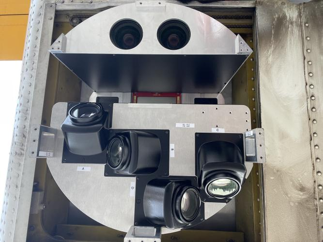
AIMS AIMS-H Long Focus
 FarsightБ└╒ System
 Riegl VQ-1560i
 Riegl VQ-780II
 UltraCam Eagle M3
 Y-1 VTOL UAV
 Aerial Acquisition
 UAV Acquisition
 Satellite Acquisition
 Field Acquisition
 Integrated
 LiDAR
LiDAR Orthophoto
 DEM
DEM DTM/DSM
 3D Mapping
 Topographic
 Infrared
 Feature Extraction
 BIM
BIM Transportation
 Water
Water power
power  Forestry
 Agriculture
 Mines & Quarries
 Heritage Buildings
 About feiyan
 Recognition
 Cases
Cases

search

Enter search content


News
 HomeЦ──>Ц──NewsЦ──


all news
-
 Apr 25, 2023
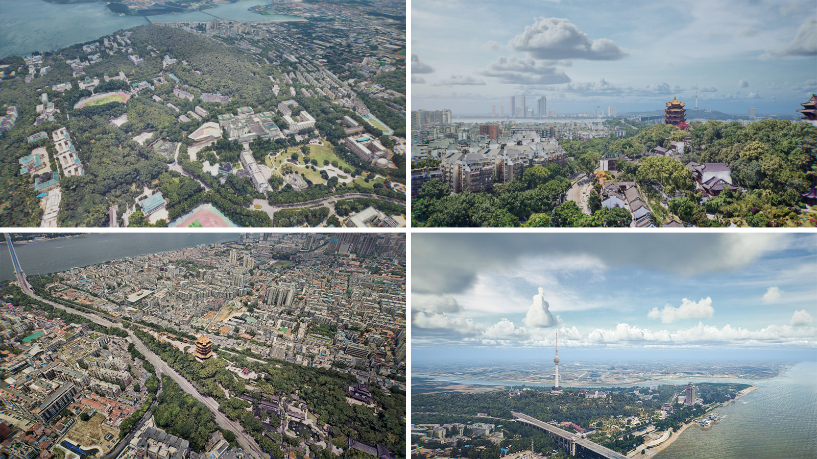
Application of LiDAR in 3D scene
Together with remote sensing images, GIS, and BIM, LiDAR provides a real spatial framework and foundation for building digital twin cities. More > -
Apr 24, 2023
AIMS multi-modal aerial camera was successfully selected into the
Recently, the Department of Economics and Information Technology of Hubei Province released the More > -
Apr 21, 2023
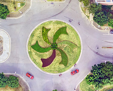
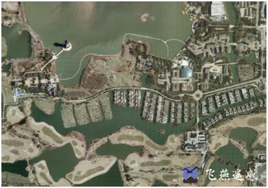
What is The Digital Orthomap (DOM)
The Digital Orthomap (DOM) is a computer-generated image of an aerial photo in which displacement (distortion) caused by terrain relief and camera tilt has been removed, combining the imagery features of a photo with the geometric features of a map. More > -
Apr 20, 2023
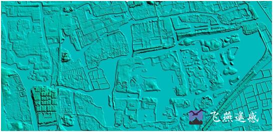
What is Digital Elevation Model(DEM)
The Digital Elevation Model is a bare earth raster grid referenced to a vertical datum, and when non-ground points such as bridges and roads are filtered out, a smooth digital elevation model is obtained. More > -
Apr 20, 2023
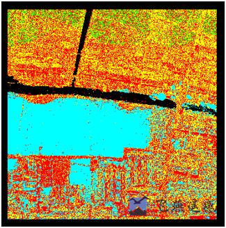
Redundant Data Removal Method Between Laser Radar Lanes
When airborne lidar technology acquires point cloud data, due to the limitation of scanning field of view and altitude, it usually needs to fly multiple routes. More > -
Apr 19, 2023
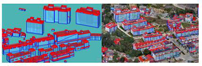
Real-Scene 3D White Model Construction with Multi-Source Data Fusion
As the initial product of the 3D architectural model, the white model contains information such as the location, height, shape, area, and volume of the building More >