AIMS
AIMS AIMS-H Long Focus
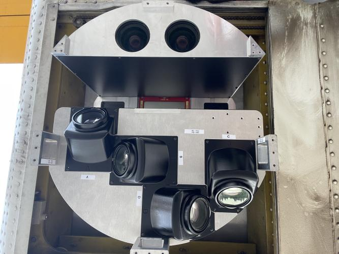
 FarsightБ└╒ System
 Riegl VQ-1560i
 Riegl VQ-780II
 UltraCam Eagle M3
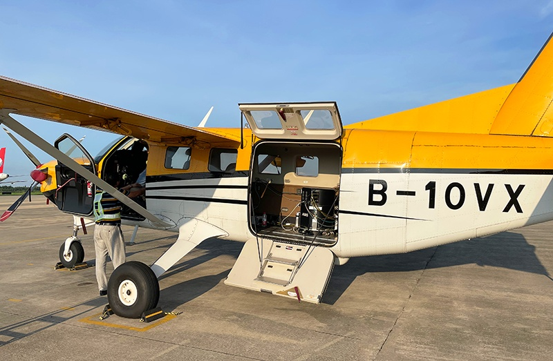
 Y-1 VTOL UAV
 Aerial Acquisition
 UAV Acquisition
 Satellite Acquisition
 Field Acquisition
 Integrated
 LiDAR
LiDAR Orthophoto
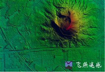
 DEM
DEM DTM/DSM
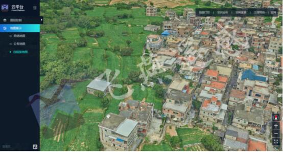
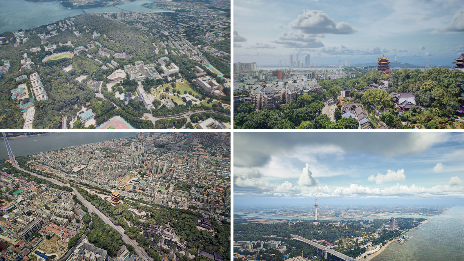
 3D Mapping
 Topographic
 Infrared
 Feature Extraction
 BIM
BIM Transportation
 Water
Water power
power  Forestry
 Agriculture
 Mines & Quarries
 Heritage Buildings
 About feiyan
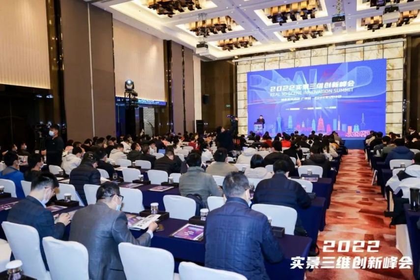
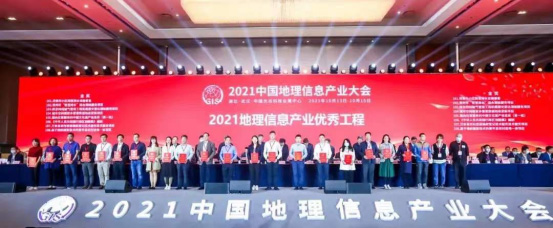
 Recognition
 Cases
Cases

search

Enter search content


News
 HomeЦ──>Ц──NewsЦ──


all news
-
 May 06, 2023
DOM Quality Inspection
After the DOM is made, it is necessary to check the quality of the DOM. More > -
May 05, 2023
DOM Production Process
Relevant data needs to be collected before DOM is generated, that is, the data preparation stage, including original digital aerial photos, analytical aerial triangulation results, DEM results, etc. More > -
May 04, 2023
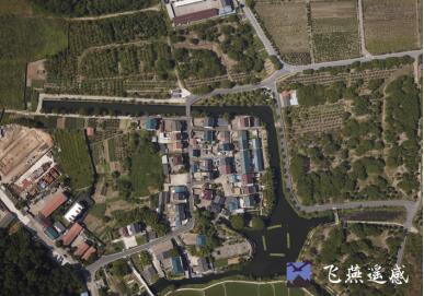
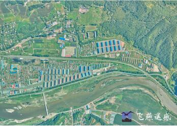
DOM Acquisition Method and Production Process
The digital orthophoto map uses the digital elevation model (DEM) to perform projection difference correction and mosaic pixel by pixel on the scanned digital aerial photos or satellite image data collected at high altitude, and cuts according to the range of the national basic scale topographic map The resulting digital orthophoto dataset. More > -
Apr 28, 2023
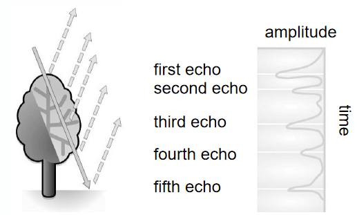
What Is Lidar Point Cloud Data?
Lidar (laser detection and ranging) mainly uses lasers as the emission light source, and is an active remote sensing device that uses photoelectric detection technology. More > -
Apr 27, 2023
What Is Real Scene 3D?
Real-world 3DБ─▀ is a 3D model that objectively and truly reflects the real world. It has the characteristics of individualization, materialization, structure, and semantics. More > -
Apr 26, 2023
What is 4D?
4D technology: Digital Elevation Model (DEM), Digital Orthophoto (DOM), Digital Line Drawing (DLG) and Digital Raster Map (DRG). More >